We drove up to Capitol Reef NP on a hot day, to take advantage of the higher elevation and hiking in a creek to keep cool. The Sulphur Creek Trail is an unofficial trail that is not maintained by the park. This is a popular hike on hot days, but we only saw three other hikers today.
Note: the course of Sulphur Creek changes somewhat with each flash flood that occurs here.
Photo is from the parking area about 0.3 miles west of the Chimney Rock parking area. We found this Mojave mound in bloom!!!
We hiked this trail 5.8 miles downstream to the Visitor Canter, and were fortunate to get a ride back to our car so we didn't need to do the 3.3 mile walk along the road.
From the trailhead, looking south towards the wash.
A short hiker trail leads into the wash. It's 1.8 miles from the trailhead to the confluence with Sulphur Creek. We saw lots of wildflowers in bloom along this section.
As the wash slowly descends, it enters between the reef walls
Confluence with Sulphur Creek looking west, the route heads east, but the sun was too bright to get a good photo in that direction.
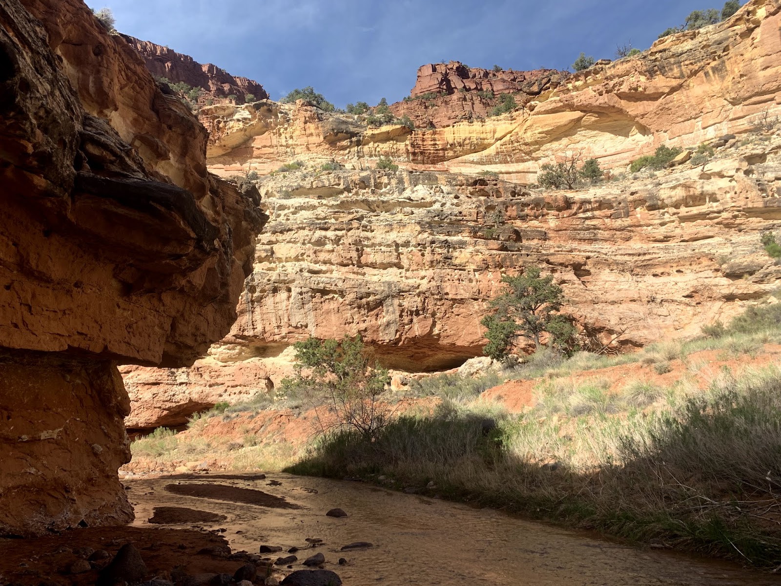
For the next 1.5 miles, before reaching the first waterfall, Sulphur Creek enters the Goosenecks, winding it's way between the steep rocky cliffs
a new vista around every bend
parts of the goosenecks is narrower that others
lots of interesting rock formations, wildflowers and some small wildlife
interesting spider
butterfly
lots of lizards (this was the only one that stopped for a photo)
The route narrows on the way downstream to the first waterfall
bypass route down from the first falls

looking back upstream at the first waterfall

It's only 750 ft downstream from the first to the second waterfall, but they are a gorgeous 750 ft of hiking
nearing the top of the second waterfall
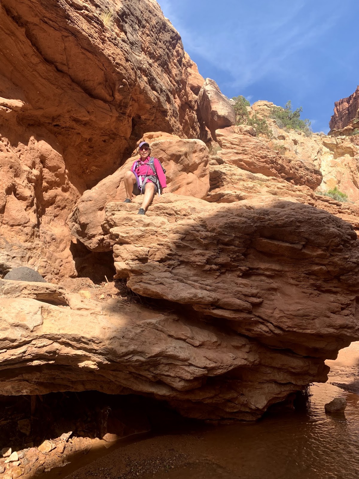
The bypass route is down on the right side and goes between the large boulder below and the canyon wall
view of the bypass route below the boulder
looking upstream at the second waterfall
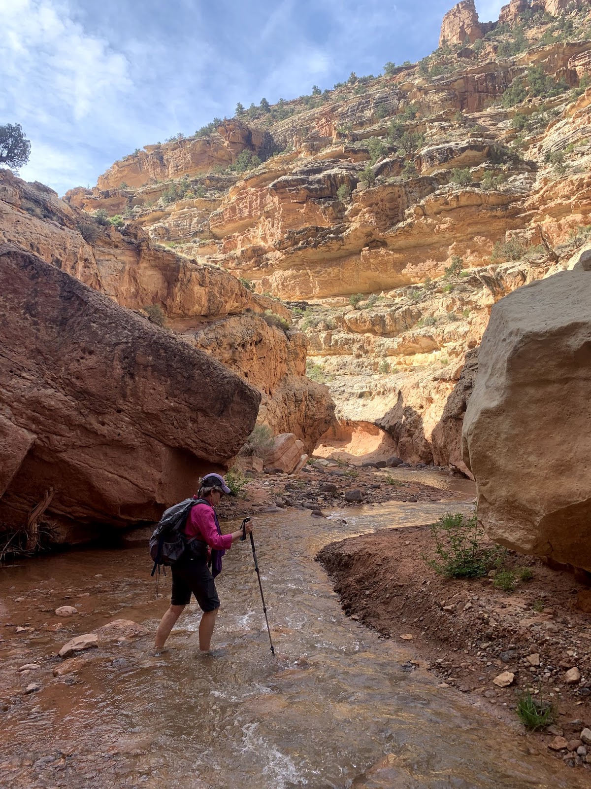
It's 1.7 miles between the second and third waterfalls. Some of this section is very narrow
I enjoyed walking downstream though all the twist and turns

a couple of cascades that are not considered waterfalls on this trail

some of these cascades can be bypassed

and some cannot
a very beautiful section of the trail
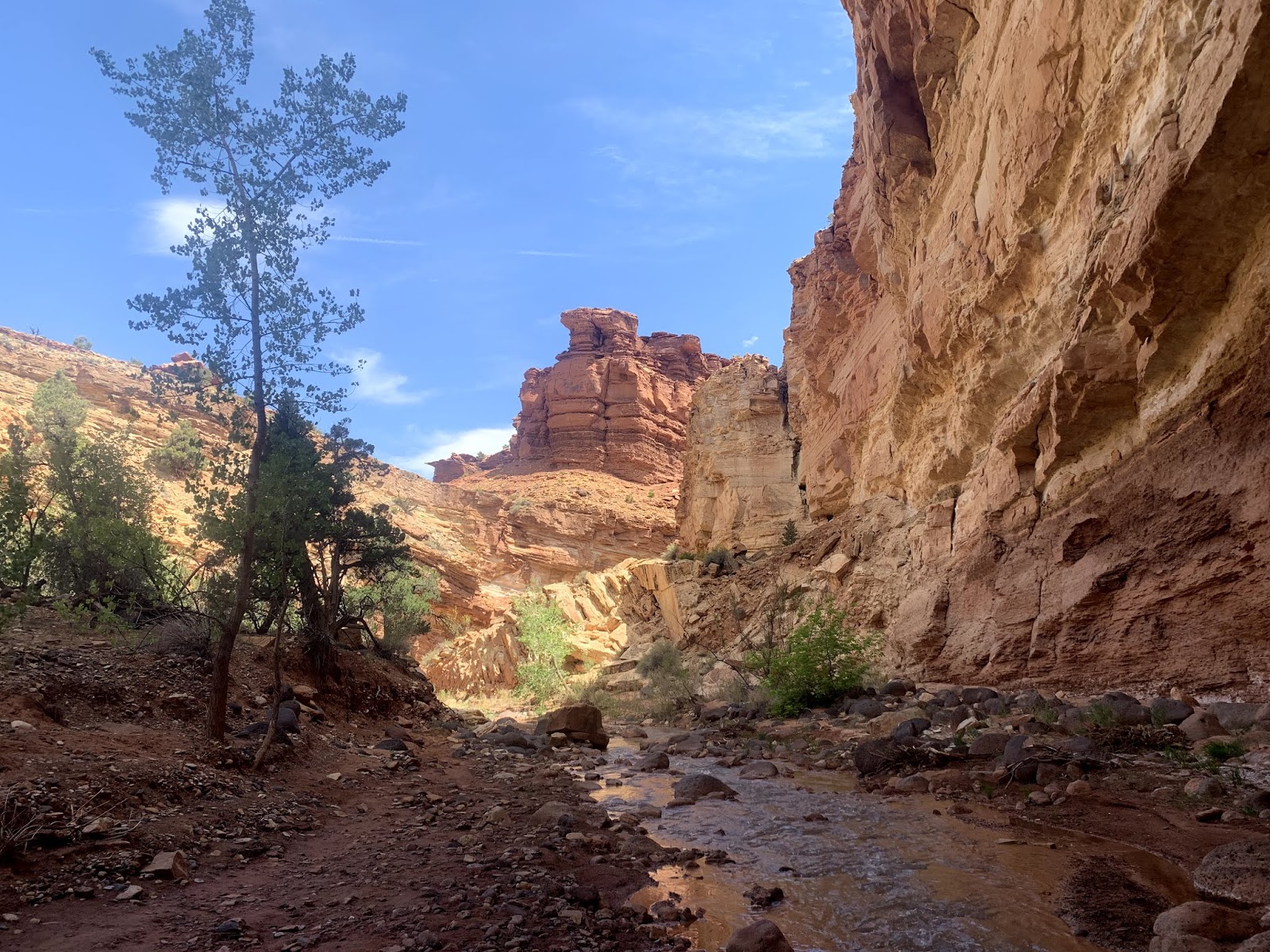
The canyon floor widens for a bit,
before narrowing again as it nears the third waterfall
We were able to walk across the top of this third waterfall and scoot across the ledge on the right side of this photo (left side of the falls when facing downstream)
From the third waterfall to the Visitor Center is 0.7 miles. The valley floor widens out here.

We entered a section with taller trees growing,

and soon the views opened up!
Pano of the view at the end of the horseshoe bend of Sulphur Creek before reaching the Visitor Center
Visitor Center in sight
some of the wildflowers we saw in bloom along this trail today:

After returning to our car, we drove out to Goosenecks Point, to view a section of Sulphur Creek where we had been earlier today.

view of the Goosenecks looking west


 looking back upstream at the first waterfall
 It's only 750 ft downstream from the first to the second waterfall, but they are a gorgeous 750 ft of hiking


 and some cannot


 We entered a section with taller trees growing,


 After returning to our car, we drove out to Goosenecks Point, to view a section of Sulphur Creek where we had been earlier today.
No comments:
Post a Comment