We were able to get above the smoky haze at Mt Rainier National Park this morning. We drove to Reflection Lake and hiked up to Plummer Peak via the Pinnacle Peak Trail, 4 miles round trip with 1.500 ft of gain. View of Mt Rainier at Reflection Lake this morning.

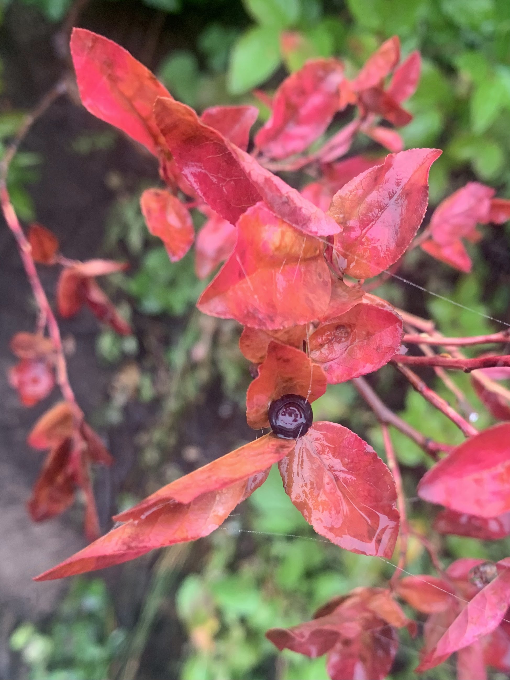
The first half or so of the Pinnacle Peak Trail is in the forest. We saw some wildflowers along the trail including many gentian and a few yummy ripe huckleberries.

The are several open spots in the forest to see Mt Rainier and Little Tahoma to the north.

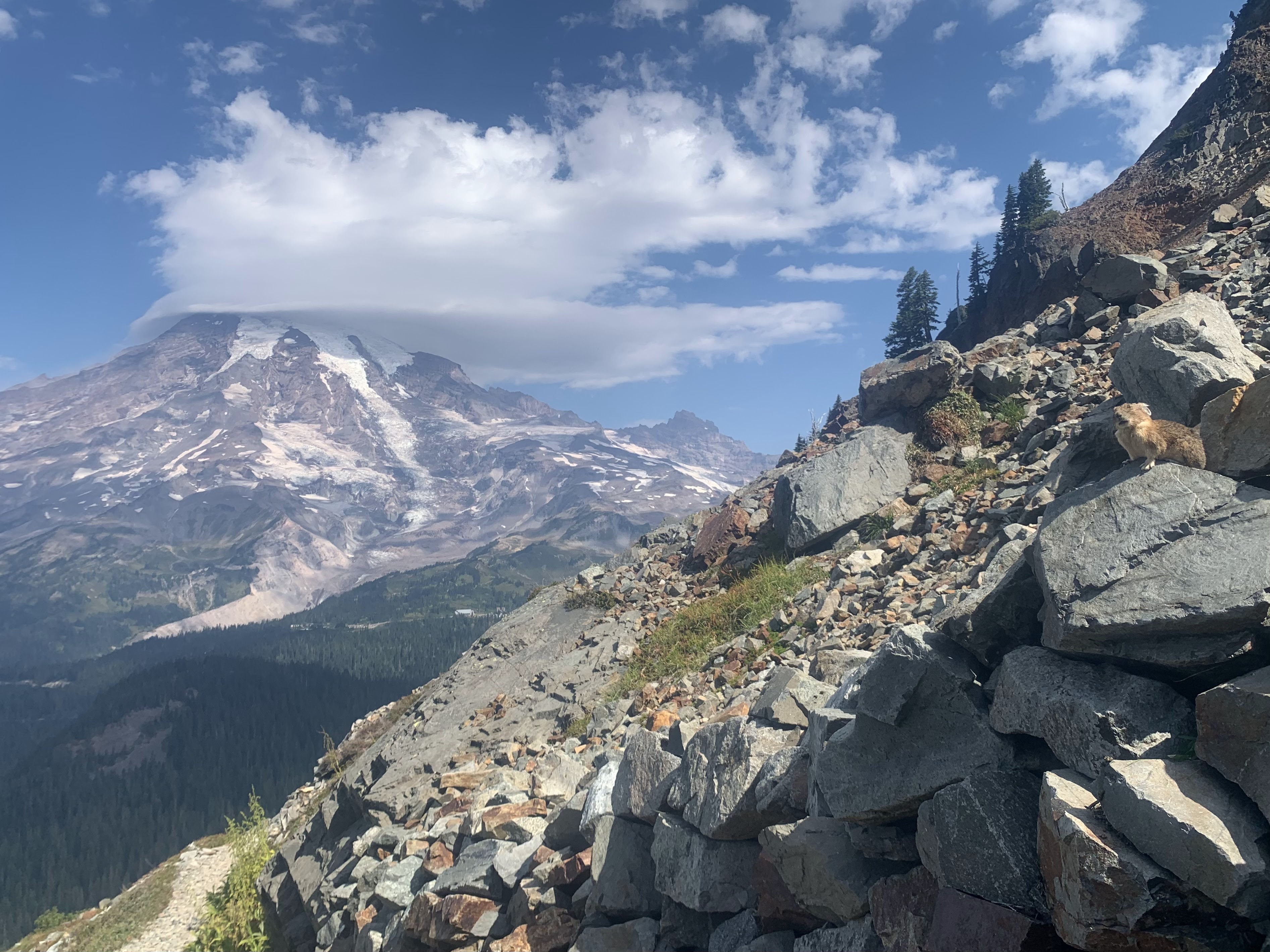
There are also several scree fields, where we saw this marmot enjoying the view.

zoom of the marmot

We saw many pika scurrying through the rocks looking for greenery to add to their piles and into the homes. I was able to take zoom photos of a few of them.

View of Mt Rainier from the open section of the trail as it approaches Pinnacle Peak Saddle (the end of the maintained trail.

After the saddle, we headed west on one of the user trails going to Plummer Peak (in the background of this photo).
View of Rainier and Pinnacle Peak from the trail.


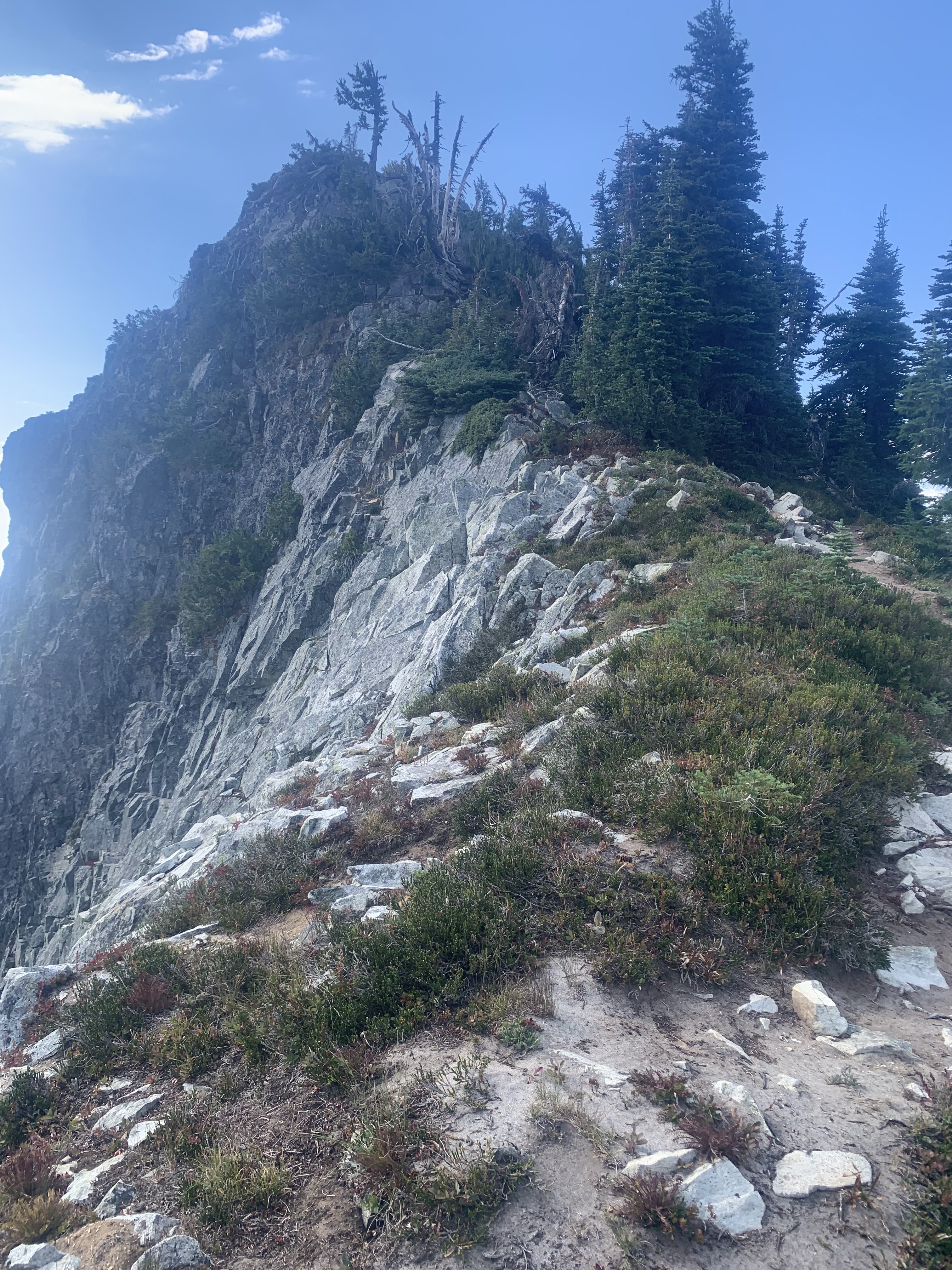
We choose the trail that went along the north side of the ridge.
We enjoyed the open views of Mt Rainier and watching the lenticular cloud forming on top of Mt Rainier.

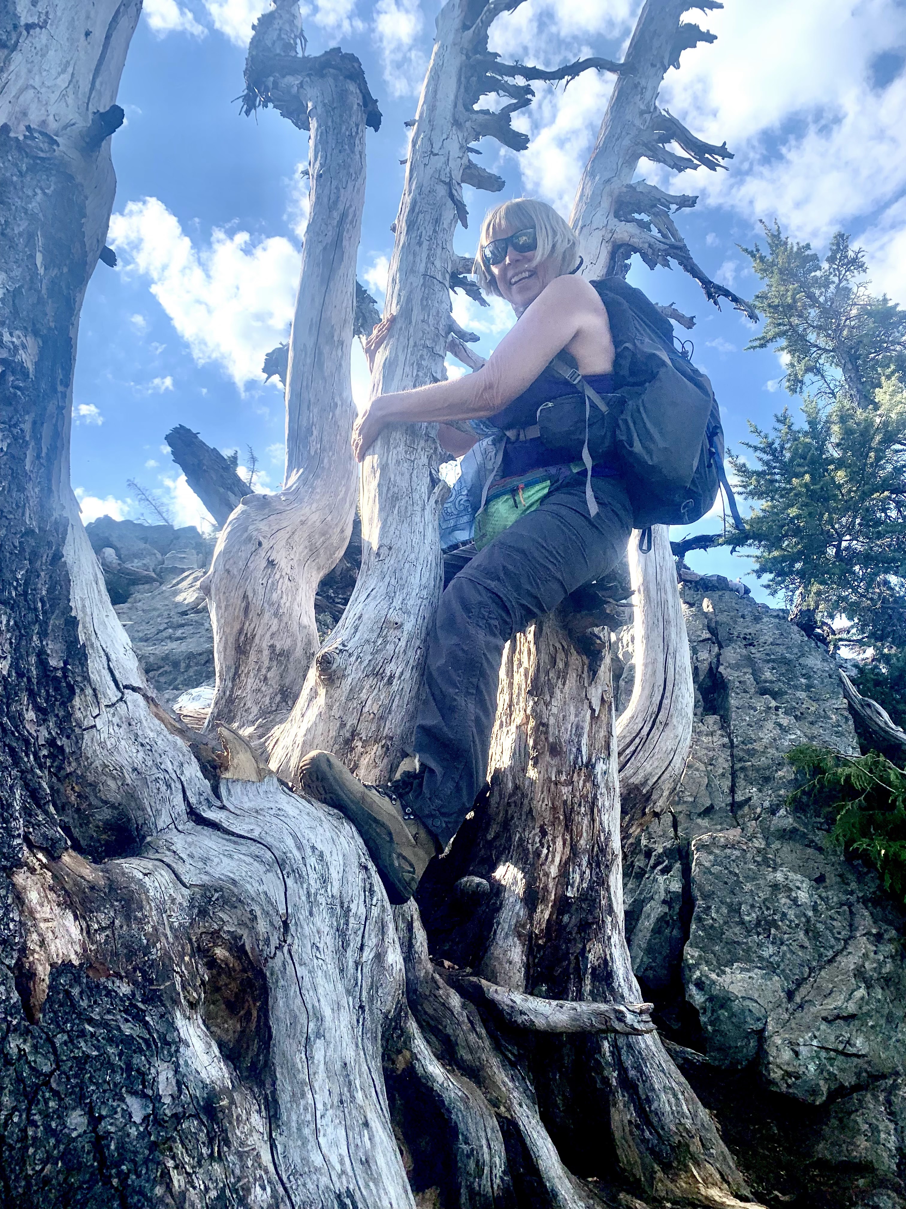
The last bit up to the top of Plummer Peak is a short scramble and goes through these dead branches.

View of Mt Rainier from the top of Plummer Peak
Pano view to the south from Plummer Peak, the haze obscured the views of the volcanic peaks to the south.


Tatoosh Peaks to the east of Plummer Peak:
Mt Rainier and the Tatoosh Peaks to the west of Plummer Peak:

View of Plummer Peak as we headed down the trail


View of Pinnacle Peak and our trail along the side as we hiked back towards the saddle

View of the trail and Mt Rainier from the saddle

Looking back at the trail we took between the saddle and Plummer Peak

I love the expansive views along the upper portion of the Pinnacle Peak trail.

Pika on right as seen along the trail on our way down.

zoom of the pika

One of many view s of Mt Rainier as we continued down the trail.
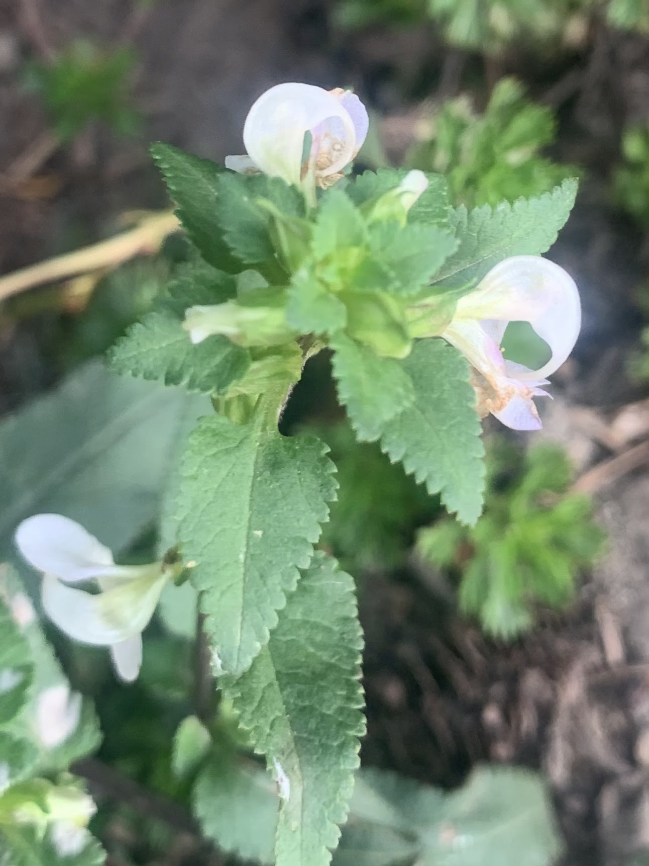
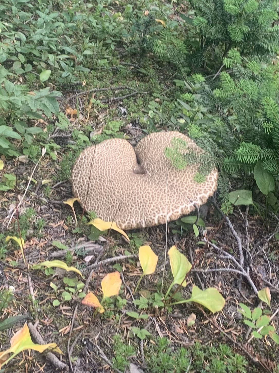
some of the wildflowers, berries and fungi we saw along the trail today:

 We drove to the Laughingwater Creek Trailhead parking at Mt Rainier National Park, to hike in the opposite direction, which is the short trail down to Silver Falls.This was about 0.7 miles round trip with 160 ft of gain on the way back up. View of Silver Falls from the east side of the trail.
 View of Silver Falls from the east side of the bridge going over the Ohanapecosh River.
 On the bridge looking upstream along the Ohanapecosh River.
 On the bridge looking downstream along the Ohanapecosh River.
 View of Silver Falls from the viewpoint on the west side of the trail.
 Bridge over the Ohanapecosh River.
 zoom of Silver Falls