

We drove over to the lower Olympic Peninsula on the Hood Canal side, to hike up to Mount Ellinor. From the upper parking lot, Mt Ellinor is on the left end away from the sharp pointed rock (a bit further back and higher up). This is a steep hike, 1.6 miles up, gaining 2,300 ft in elevation.
We saw this rabbit at the start of our hike.


 As the forest opens up, there are fabulous views looking across Lake Cushman, Hoods Canal and Puget Sound to Mount Rainier in the distance.
As the trail entered a large boulder field, we spotted a large mountain goat.
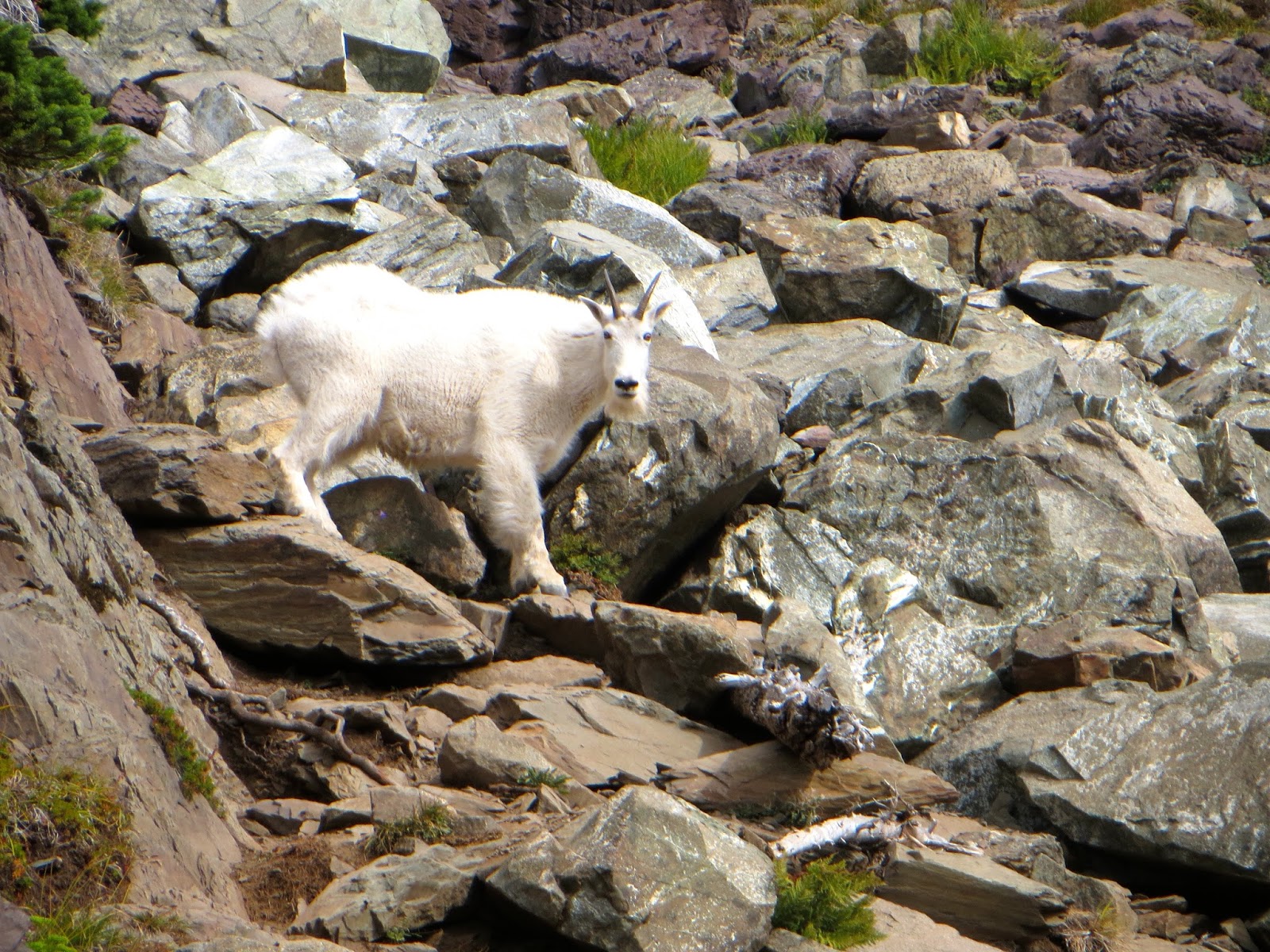 We decided to take a break, when the goat got onto the trail above us to lick the boulders.
 After about 15 minutes, the mountain goat left the trail and went across the boulders.
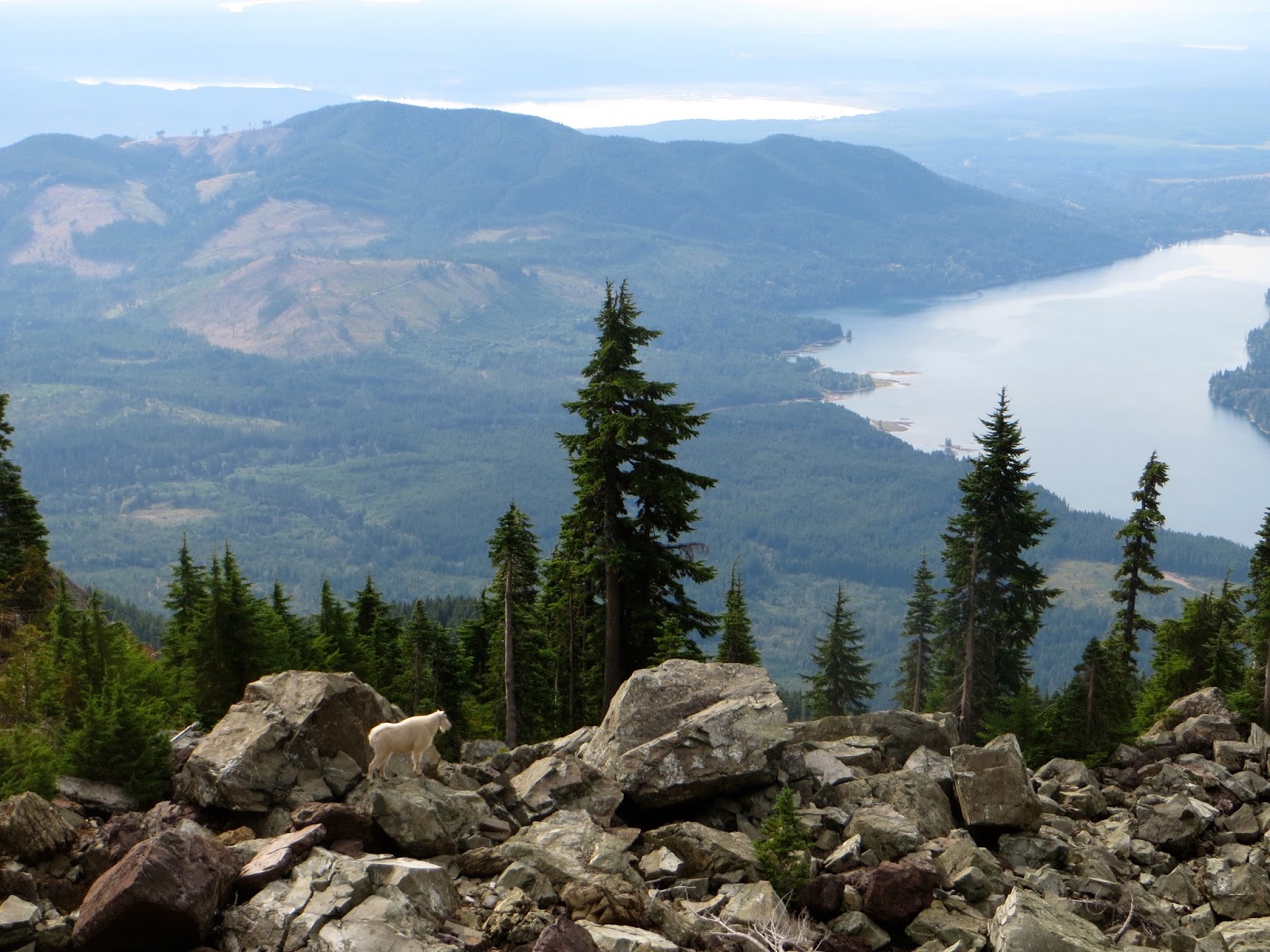 When he finally went below us, we continued up the trail.
 We continued up the trail, past the boulder field, continuing to enjoy the views.
Then across a large scree field, up to a small saddle.


From the small saddle, looking back down the trail.
 After this small saddle, the trail climbs more steeply up toward the summit.
 Looking down at the small saddle and Lake Cushman far below.
 Climbing to the very top of Mt Ellinor.
Even on a cloudy day, we enjoyed the panoramic views. Looking east, Mount Washington on the left. We could see Mt Baker and Glacier Peak in the haze. Mt Rainier was now completely covered in clouds.


Zoom of Mt Baker behind Mount Washington.
Panoramic view to the west and north, the Olympic Mountains seem endless.


After enjoying the views and lunch, we headed down, taking our time down this steep trail.
Wildflower season seems to be over, but we did find a variety of blooms along the trail. Some of the wildflowers and plants we saw along the trail today.


