
We drove to the Two Medicine Area of Glacier National Park and rode the boat across Two Medicine Lake before beginning our hike to Cobalt Lake.

 Starting at the west end of Two Medicine Lake, hiking to Cobalt Lake and returning to the east end of Two Medicine Lake is 11 miles, with 1,420 ft of elevation gain.
From the boat dock on the east side of Two Medicine Lake we took the South Shore Trail eastward along the south shore of the lake. Panorama view from the southwest end of Two Medicine Lake:

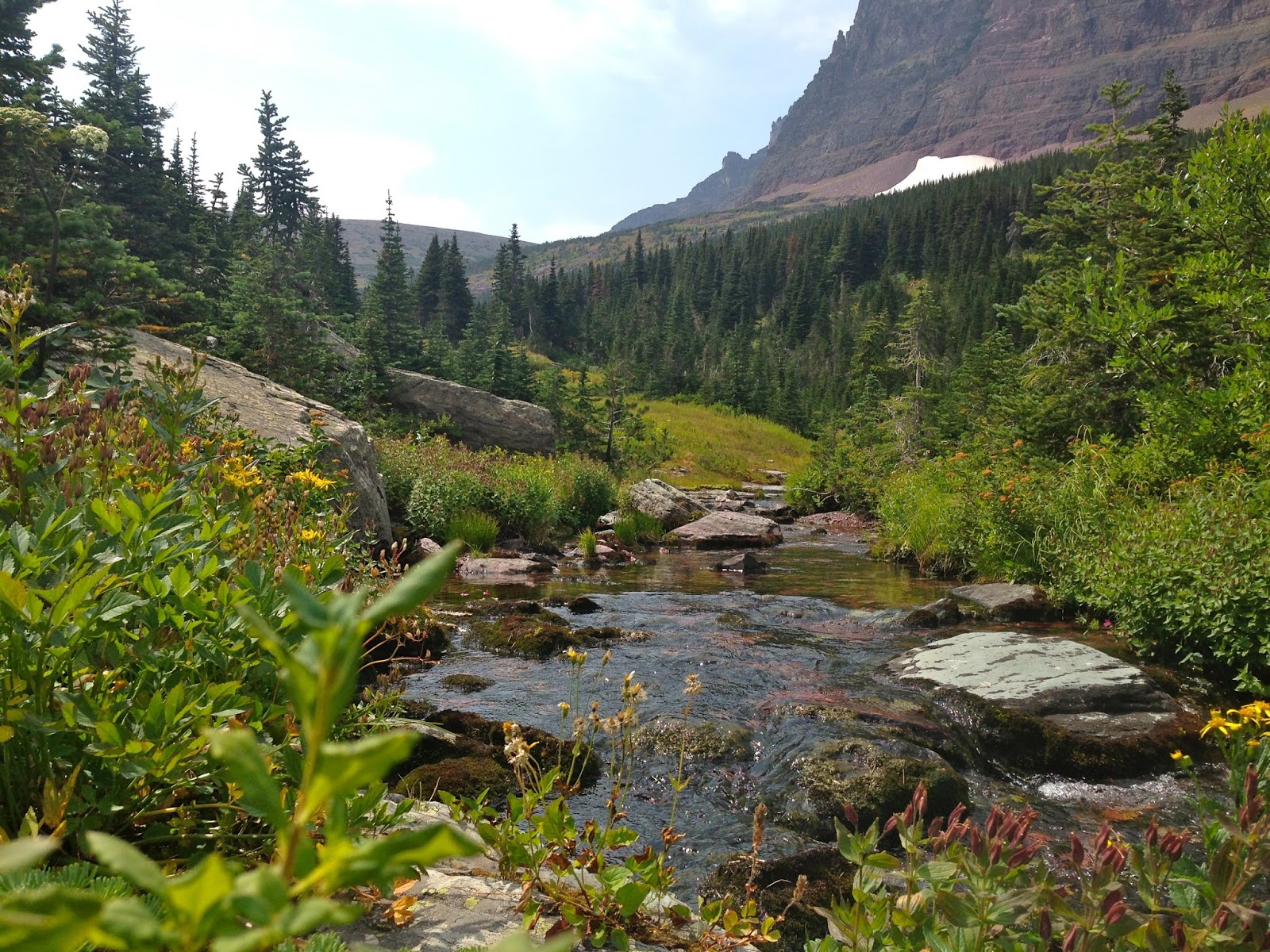
 We continued along the South Shore Trail until it joined the Two Medicine Pass Trail, hiking through the forest, enjoying the wildflowers and ripe berries along the way.

About 2.25 miles from the boat dock, the trail goes over a footbridge shortly before arriving at

Rockwell Falls, here is the lower section which drops about 30 - 40 feet.

The upper section is about 100 feet behind the main falls, and there is a boot track leading up to this section.

A short scramble up the rocks along this section, gives you a better view of all 3 parts of the Upper Rockwell Falls
After Rockwell Falls, the trail climbs in a series of switchbacks into the glacially carved valley between Painted Tepee and Sinopah Mountain. Panorama from Painted Tepee to Sinopah Mountain:


There were lots of wildflowers in this section of the trail.

The trail passes through meadows filled with beautiful wildflowers:

About 5 miles from the start, there is a short, steep climb to the highest elevation (before continuing to climb to Two Medicine Pass). There is a short side trail down to Cobalt Lake, which lies in a basin below Chief Lodgepole Peak.
 View of Cobalt Lake from the side trail end.
View of Cobalt Lake and Mt Rockwell from just beyond the Campground:


After lunch, we returned to the trail, heading back to Two Medicine Lake
Panorama View of Sinopah Mountain from the southeast:


 We passed Rockwell Falls again, and followed the Two Medicine Trail until it reached the South Shore Trail, this time we headed east along the South Shore Trail. About 2.3 miles from the trailhead, we crossed a suspension bridge over Paradise Creek.
 And Aster Creek cascading down towards Aster Falls:

 We saw a grouse besides the trail.
Some of the wildflowers and plants we saw along the trail:


A relief map to the Two Medicine Area (and beyond) of Glacier National Park:
No comments:
Post a Comment