Headed up to Mount Rose for a conditioning hike. This hike gains 3,500 ft in 2.9 miles. I heard that snowshoes were needed near the top of the trail with the new snow. We ended up carrying our snowshoes the whole way, as the trail was well packed down.
There is a nice cascading stream near the beginning of the trail.
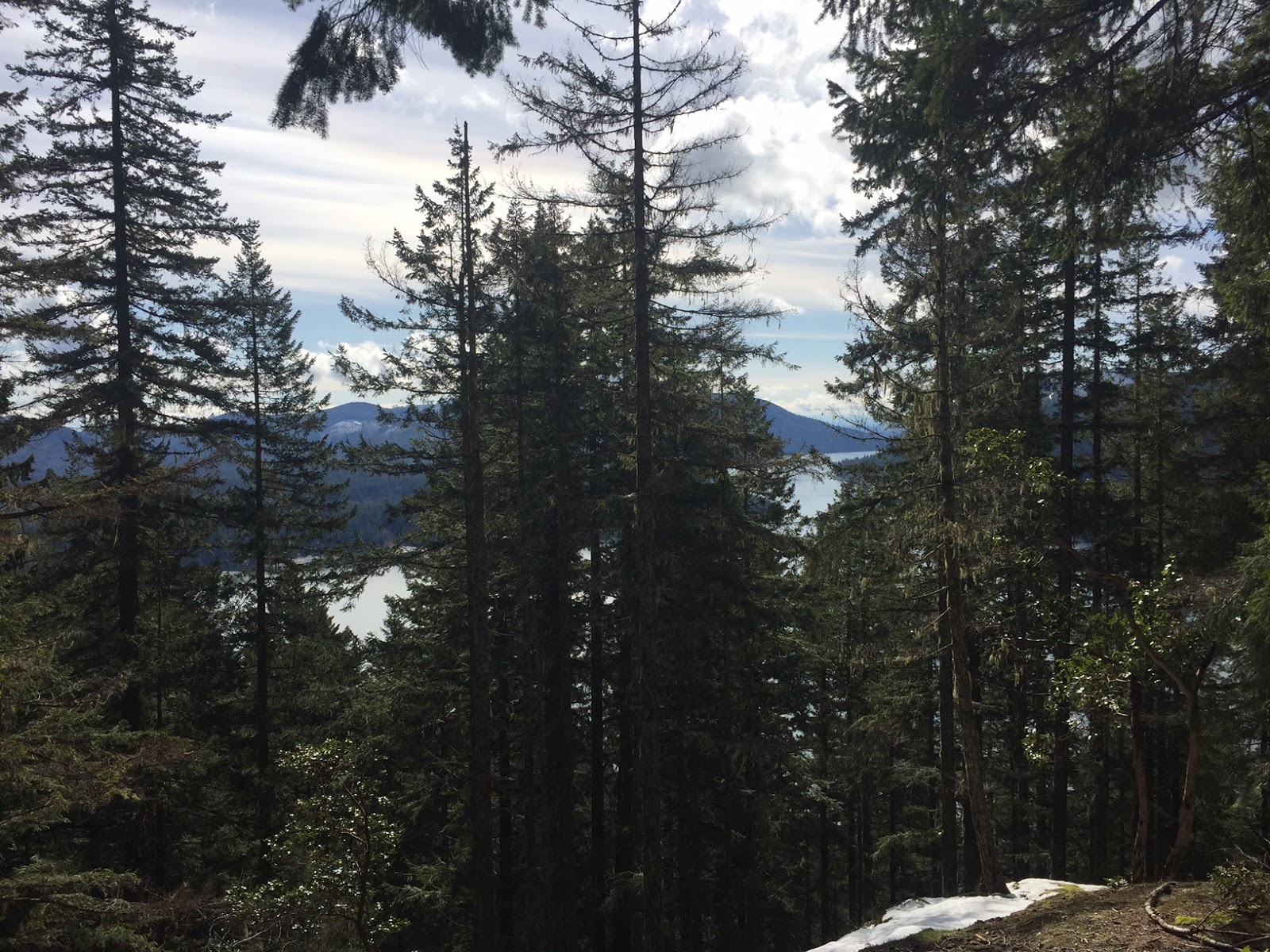
This trail is a series of switchbacks in the forest. There are a couple of places where you can see Lake Cushman through the trees.
We wore our microspikes from about 2,100 ft above sea level.
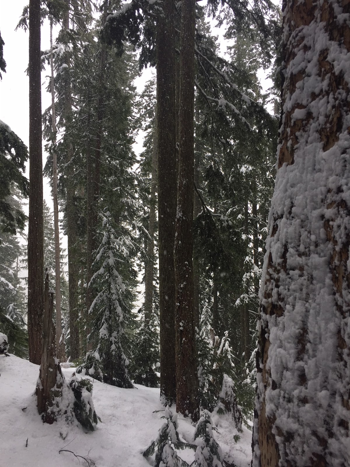
The forest was pretty with all the fresh snow.
Little icicles in the moss
Snow laden trees
icicles on boulders
About 0.25 mile from the summit we saw a boot track leading out to a ridge with nice views.
From the ridge we could see Cooper Mountain, Mt Washington and Mt Elinor. We were careful to stay away from the cornice at the edge.
a short distance further is another view area looking down towards Lake Cushman and Hood Canal
Turning around from the view area, I could see we were very close to the summit. About 0.1 of a mile and 200 ft of gain to go.
Summit of Mount Rose
I didn't feel comfortable going all the way out of the snow covered rocks at the summit. North end of Lake Cushman down below on the left. Some of the snow covered Olympic peaks.
The top of Mount Rose is in the trees. Peek of Mt Elinor through the trees.
View of Lake Cushman and Hood Canal while descending the top of Mount Rose
It started snowing as we hiked down the trail.