After exploring the tide pools at Tongue Point this morning I did the loop trail at Striped Peak at the other end of Salt Creek Recreation Area. The section of the trail that turned this trail into a loop, as just recently been made. I think the loop is about 4+ miles with 1,000 ft of overall gain. This "new" trail starts about 1/4 mile up the trail and is a shorter way up to Striped Peak.
 After going up many switchbacks through the forest, the trail goes by what appears to be an old bunker. I think this is where the trail had previously ended.
 Just above the bunker is a view spot overlooking the Strait of Juan de Fuca looking towards Vancouver Island.
 After about 0.2 mile, there is a spur trail that crosses the forest road and leads to the very short loop around the top of Striped Peak. Looking northwest towards Crescent Bay.
 View to the northeast, looking towards Port Angeles, and towards a very hazy Mt Baker.
 View to the northwest, down to Crescent Bay and Tongue Point (right of center)
 I rejoined the main tail, which heading east through a clear cut area and crossed the forest road a couple of times.
 There were lots of bleeding hearts in bloom along this section of the trail.

 Through the trees I could see some Olympic Peaks to the south (zoom)
 Shortly before the trail starts heading to the west, there is a view area, I could make out Mt Baker a little better through the haze.
 zoom of a very hazy Mt Baker
 The roots from this tree are exposed over this boulder for over 12 ft.
 View looking down at Eagle's Cove, I did not take the short spur down to the cove today.
 mushroom along the trail
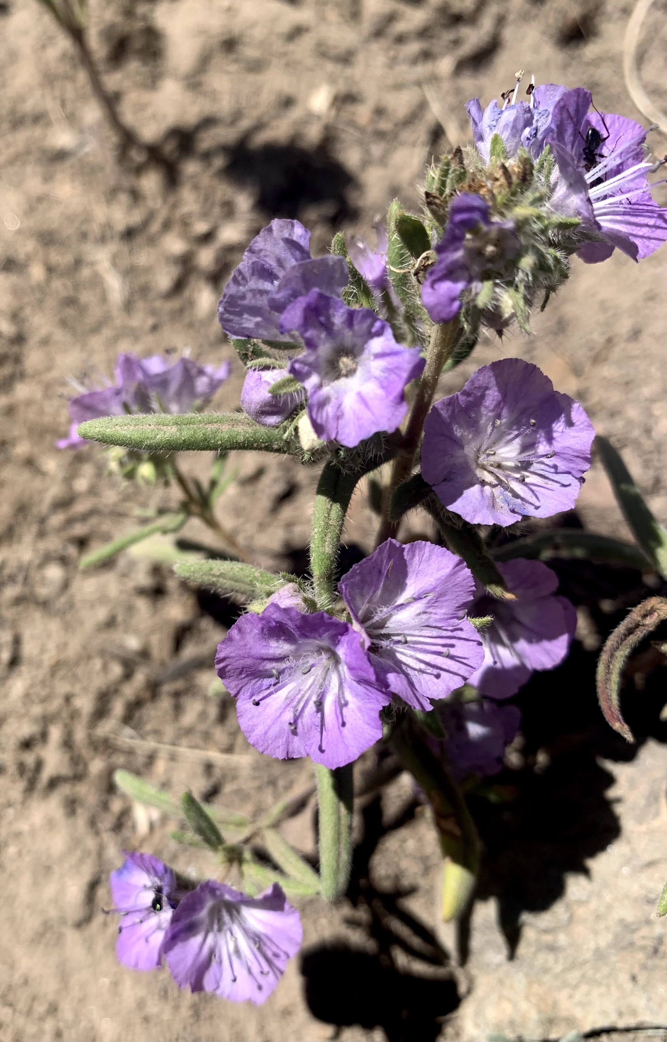
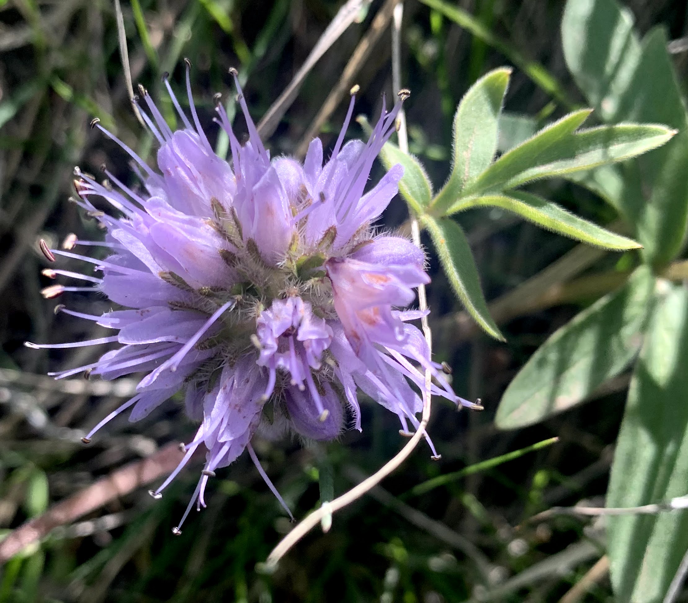
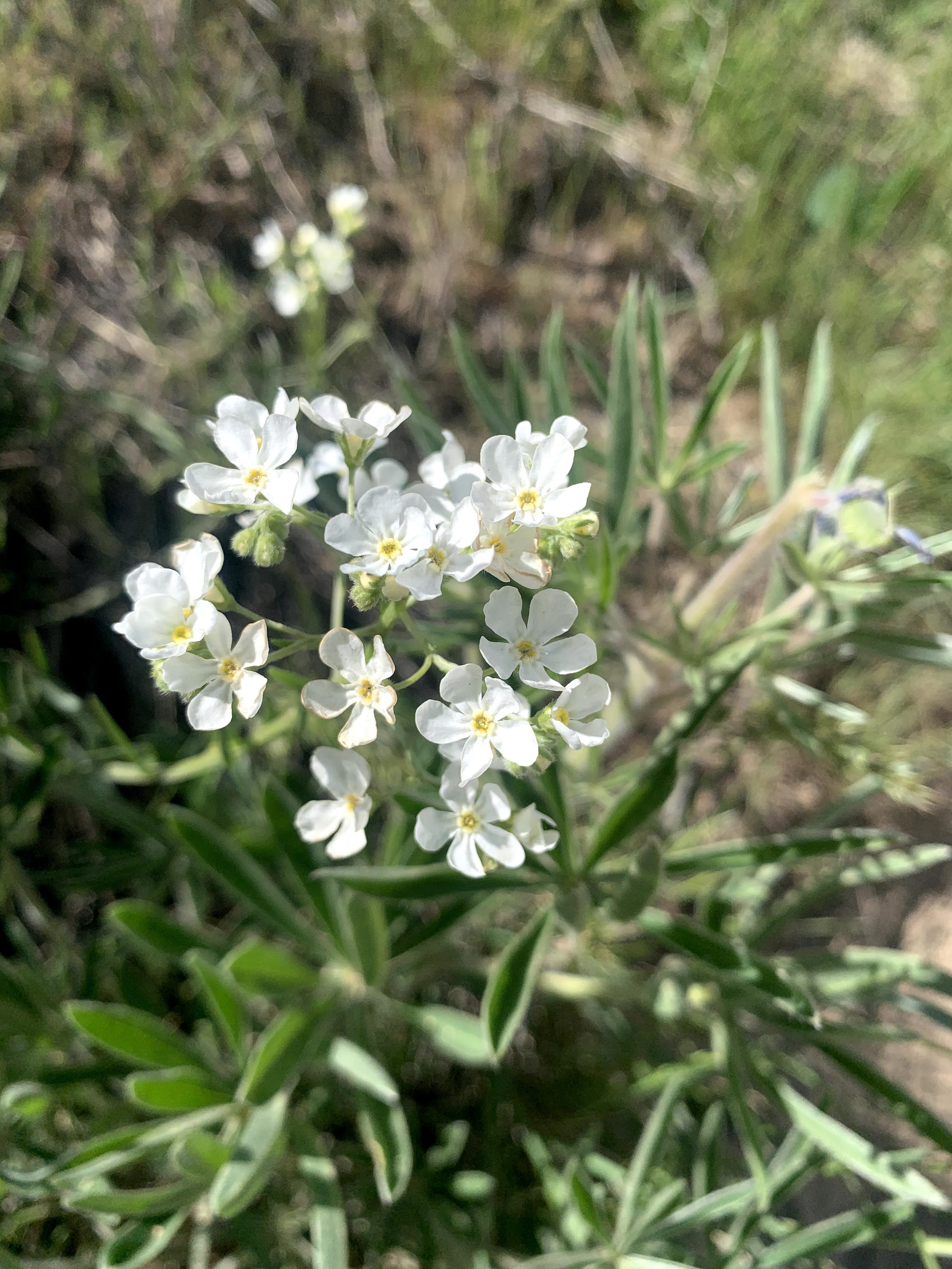
some of the wildflowers in bloom along the trail today: