Drove out to Yakima Canyon to hike the Umtanum Ridge Crest Trail and the Umtanum Creek Canyon Trails that share a trailhead. I did not complete the Umtanum Creek Canyon Trail after encountering a large rattlesnake on the trail. Overall, hiked 9 miles with 2,500 ft of elevation gain. Most of the wildflowers I saw where along the Umtanum Ridge Crest Trail (where I saw 6 other hikers). From the parking area, the trail crosses the Yakima River on this suspension bridge.

Looking downstream along the Yakima River from the bridge.

Shortly after the suspension bridge, the trail goes under the railroad tracks and then to the left.

Soon the trail splits in two, the left goes up Umtanum Ridge Crest and to the right Umtanum Creek Canyon.

I took the left trail up Umtanum Ridge Crest, with wildflowers are butterflies.

Not too far up the trail, I saw this small rattlesnake and waited for it to slither off the trail and up away from the trail before continuing.

With our spring rains this year, the hills are very green.

The balsamroot was still in bloom. A few arrowleaf balsamroot, with quite a bit of Hooker's balsamroot in bloom higher up the trail.

Balsamroot and lupine together is so pretty!

Looking back along the trail as it continues uphill.

A lovely day on the trail.

Further up the trail, I could see the Stuart Range in the distance to the northeast.

zoom of the Stuart Range

There is a very steep section of the trail before it levels out and reaches a dirt road. From above the steep section, looking back down to the Yakima River.

After crossing the dirt road, I continued along the trail to two slight rises. To the southwest, I was what I think is a cloud covered Mt Rainier.

And to the northwest, the Stuart Range

zoom of the Stuart Range

Returned down the trail to the junction and hiked out along the Umtanum Creek Canyon trail.

tiny yellow spider

The trail follows along Umtanum Creek for a while

Lots of rocky protrusions along the hills on the sides of the canyon.

Creek crossing

More sides to the canyon.

Sticky geraniums in bloom along the trail.

There are some burnt trees from a previous fire.

These may be turkey vultures. I saw about 10 turkey vultures along the side of the road near the parking lot earlier this morning.

Another creek crossing

It wasn't far after this that I walked around a corner and saw a big rattlesnake not 2 feet from me right on the trail. I screamed, it rattled and slithered into the thick grass where I could not see how far away from the trail it went. Decided I had hiked far enough (about 1.75 miles from the trail split) and turned back. Not 15 minutes later, around another bend was another large rattlesnake. Repeat scream and slithering, rattling snake. I waited for awhile hoping it was far from the trail edge and continued hiking super alert at every turn and overgrown area.

I tried to enjoy the rest of my hike, but I was nervous. I finally saw 2 other hikers near the beginning of the trail, they said they did not hear my earlier screams and would be alert for snakes.

Another butterfly I was able to get its photo
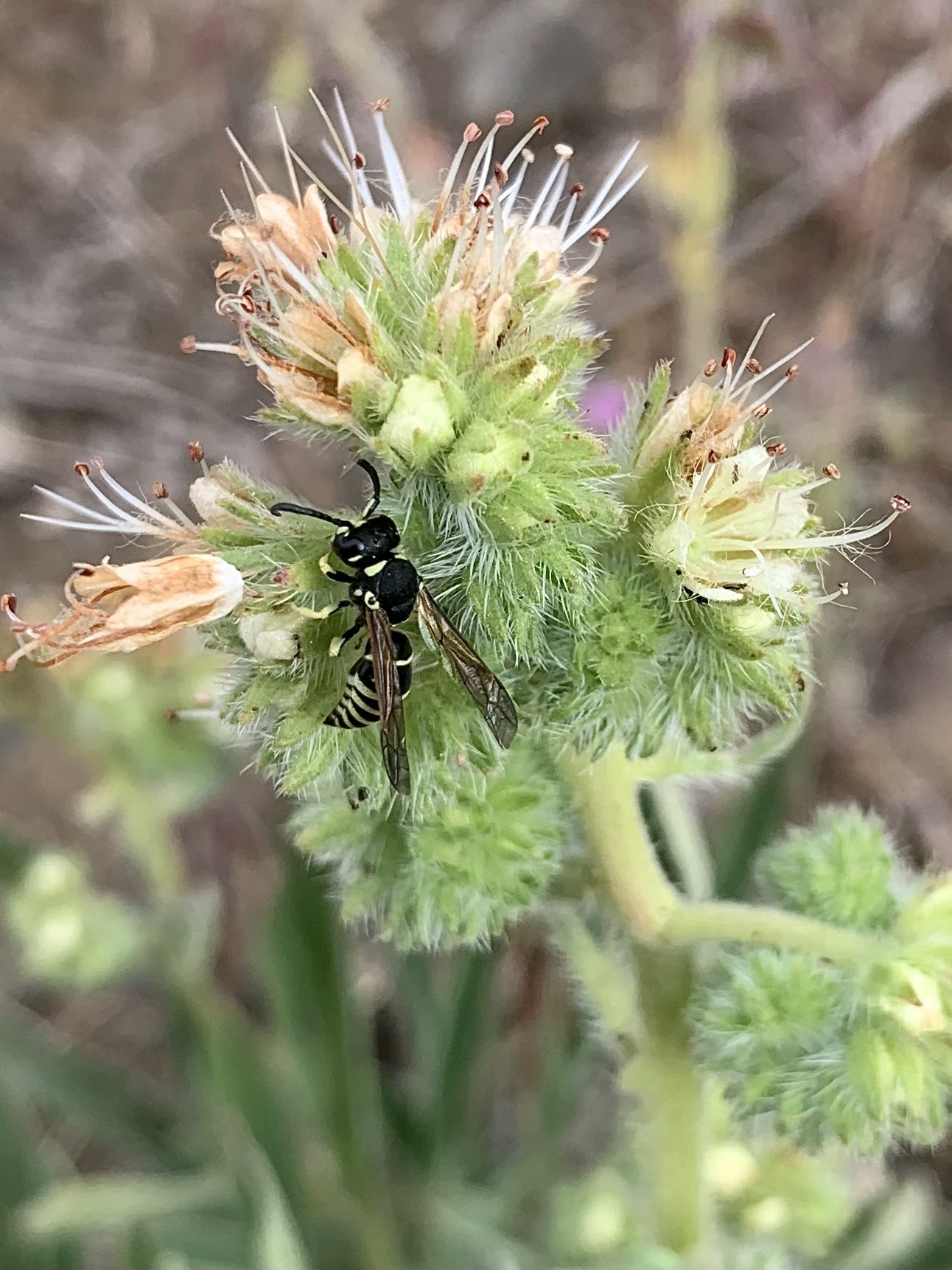
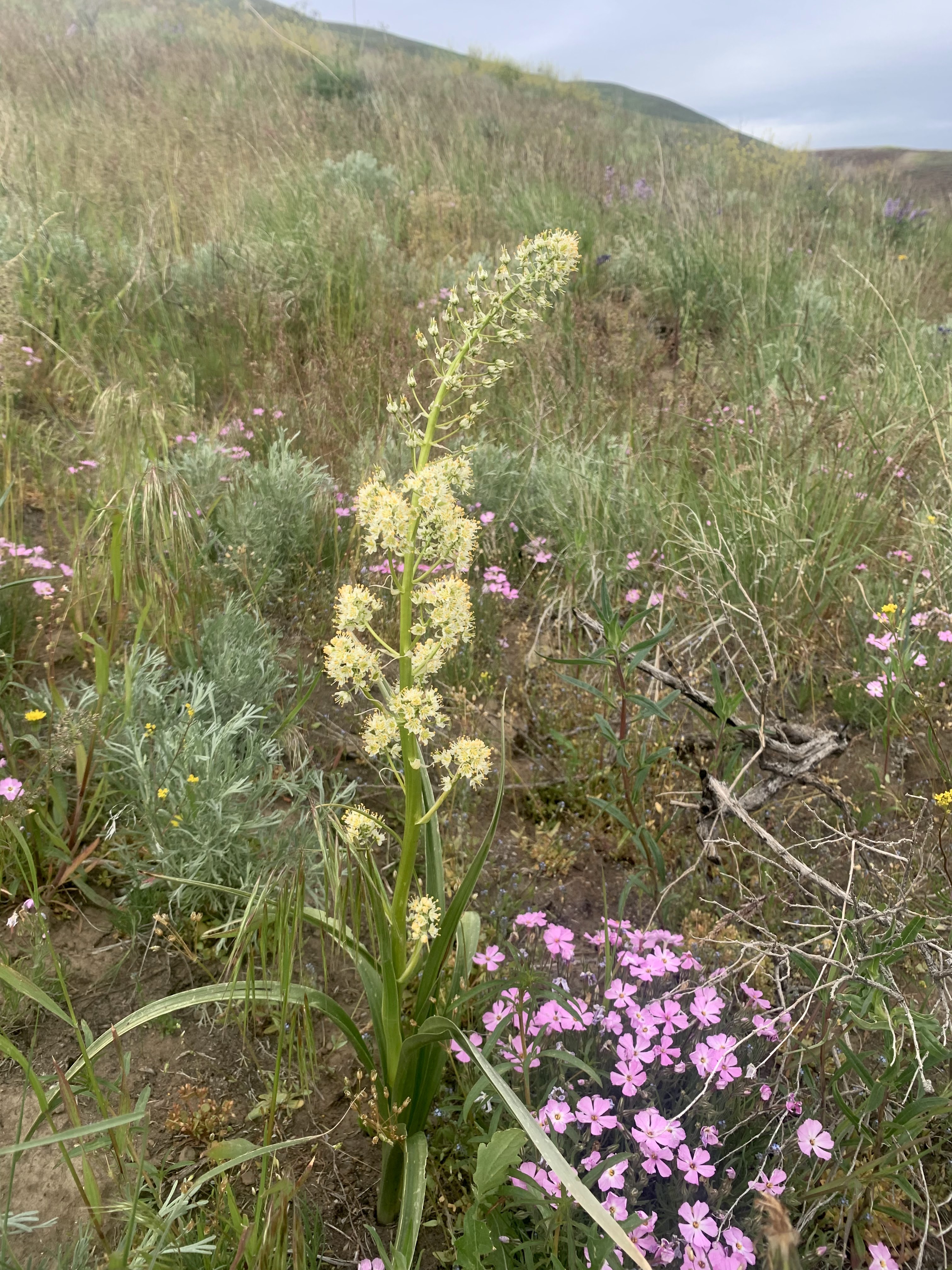
some of the wildflowers along the trail, the majority were seen along the Umtanum Ridge Crest Trail;
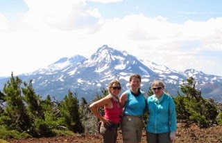
 We drove up to the north shore of Big Bear Lake in the San Bernardino National Forest to hike the Cougar Crest Trail to the PCT, 5 miles round trip with 800 ft of gain.
 There are some tall cedar and pine trees along this trail, and
 wildflowers, including the bright red paintbrush.
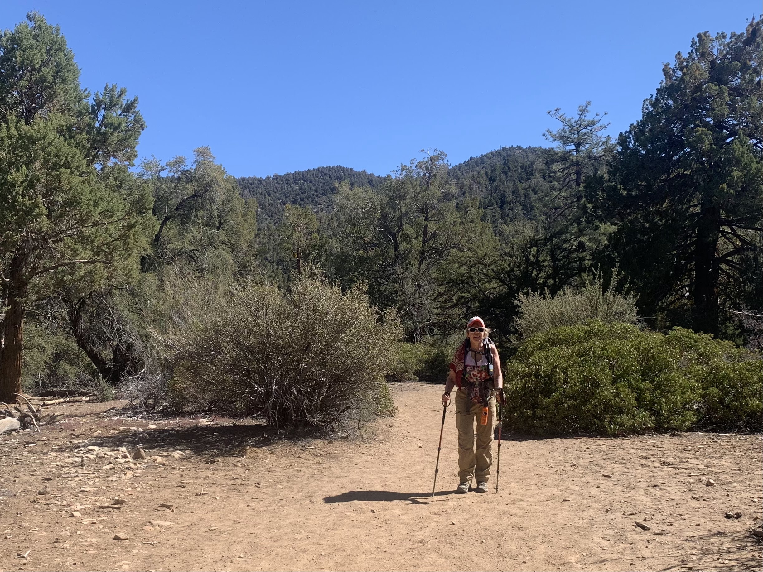 Bertha Peak in the background
 One of the large trees, the top
 and base of its trunk.
 Big Bear Lake and San Gorgonia Mountain to the south,
 Lovely phlox along the trail
 Up on the PCT
 Another view of Big Bear Lake and San Gorgonia Mountain from near the Cougar Crest Trail and the PCT.
 View to the north from near the PCT.