Went down to the Covell Creek Trail to hike the Angel Falls Loop Trail and to see if we could make it up to the Burley Mountain Lookout. There are several crisscrossing trails, some that are not on our maps. We completed the Angel Falls Loop, but did not make it up to the Burley Mountain Lookout or to the road heading to Burley Mountain due to time constraints and the amount of unbroken snow. Overall we hiked about 9 miles and gained 1,400+ ft in elevation.
The trail starts across from the Cispus Environmental Learning Center. It begins in the forest along the Cispus Braille Trail. This is a circular trail with a rope going around the inside of the trail. We choose to head to the right and ended up taking the second trail that broke off to the right. (I thin the first trail that broke off to the right would have been easier to follow up to the falls today). At some point we passed a covered pavilion and some how ended up on a boot track that took us up to a forest service road. We backtracked down to the pavilion and saw where a foot bridge had been wiped out and a makeshift crossing was on the water. We crossed over and joined the main trail up to the Angel Falls Loop trail.
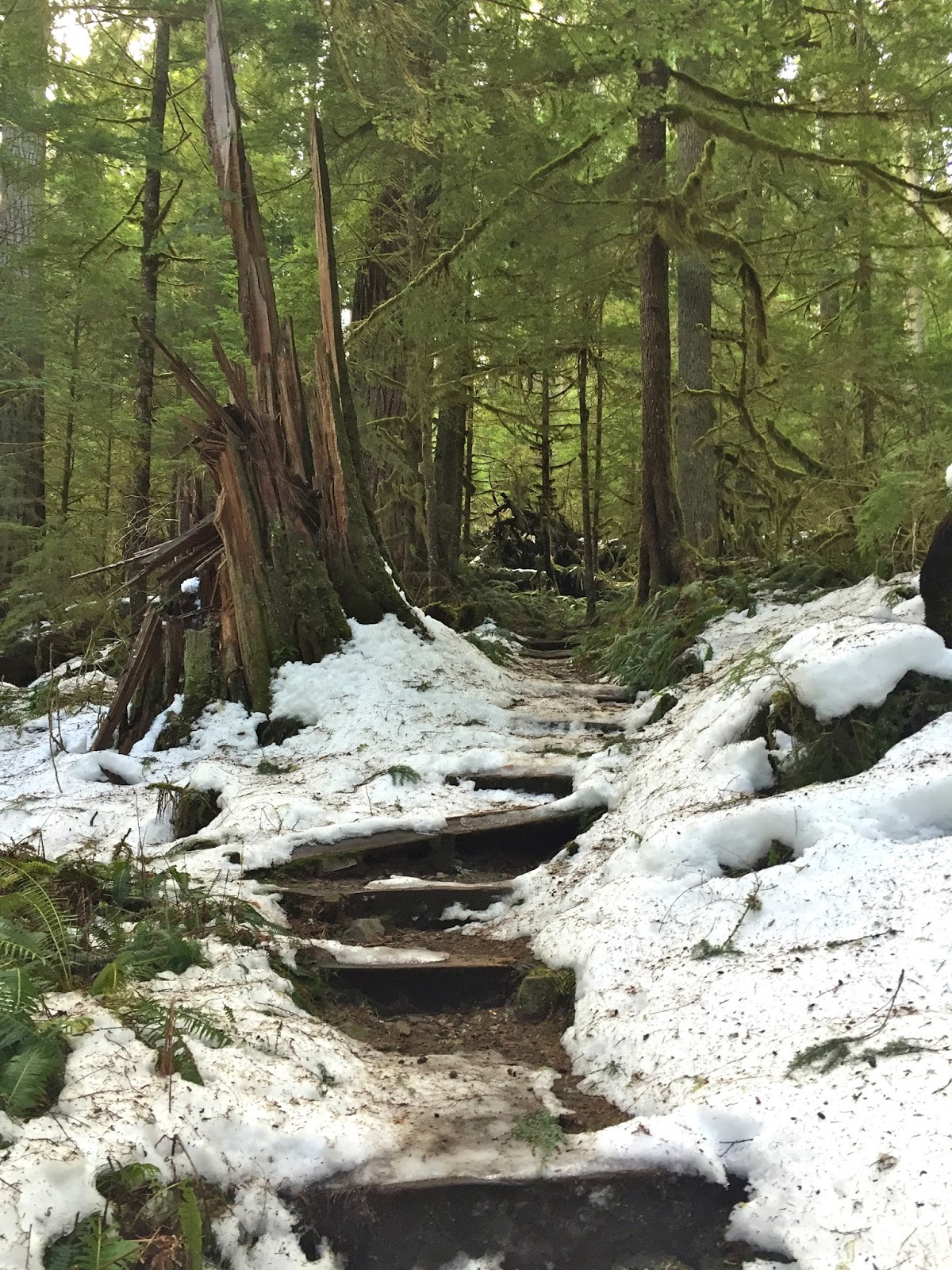
There were some areas of snow and ice along the lower sections of the trail, but did not need to use traction.
The trail crosses over Covell Creek on a nice log bridge.
And then the trail begins to ascend up the hill.
There were many small falls or drops of water along Covell Creek.
These were of various sizes.
When we reached the loop trail, we choose to go right towards Covell Creek Falls, which is encountered almost immediately. This waterfall has a 75 ft drop and the trail goes behind the falls.

View from behind Covell Creek Falls
The trail continues up hill, looking back down at Covell Creek Falls.
About 1/2 mile beyond Covell Creek Falls, the loop trail heads off to the left and the trail up to Burley Mountain goes to the right. We headed up on the Burley Mountain trail. We followed tracks in the snow until the stopped and began to post hole. When we realized we would need to put on our snowshoes and still had several miles of hiking and 2,600 ft of elevation to gain while breaking trail. We knew we'd be returning in the dark on a steep icy trail, so decided to turn around and continue to the Angel Falls Loop Trail.
We had some peek a boo views of snow covered ridges through the trees.

Angel Falls has a 150 ft drop.
The trail soon crossed Covell Creek again. There is another falls (Bridal Veil Falls) 300ft up this creek on a boot path. We went maybe 100 ft up the creek, but could not find the boot path under the snow, nor a way to continue up the creek without getting very wet, so we returned tot he main trail.
The trail levels out for a while through the forest.
There was lots of lovely moss on the trees.
We found quite a bit of snow on this section of the trail, but it was not very deep and was well packed down.
After a while there was another fork in the trail. The trail to the right (I believe) leads back to a forest road. We continued on the trail to the left, which was the falls loop trail.
There was some nice fungi along the trail.
We soon realized why the loop trail had extend so far out towards the east, when we were heading back to the west. This 1/2 mile section of the trail lies at the bottom of a large rocky cliff that extends all the way back to Covell Creek Falls. This section of the trail goes up and down.
We saw some free standing ice that stood close to the cliffs edge,
these made lovely ice sculptures.

There were some sections eroded away at the base of the rocky cliff.
Some mini caves.

On the way back down, we choose to take some of the other trails that crossed our path before returning back to the trailhead.
SaveSave


 Angel Falls has a 150 ft drop.


 On the way back down, we choose to take some of the other trails that crossed our path before returning back to the trailhead.