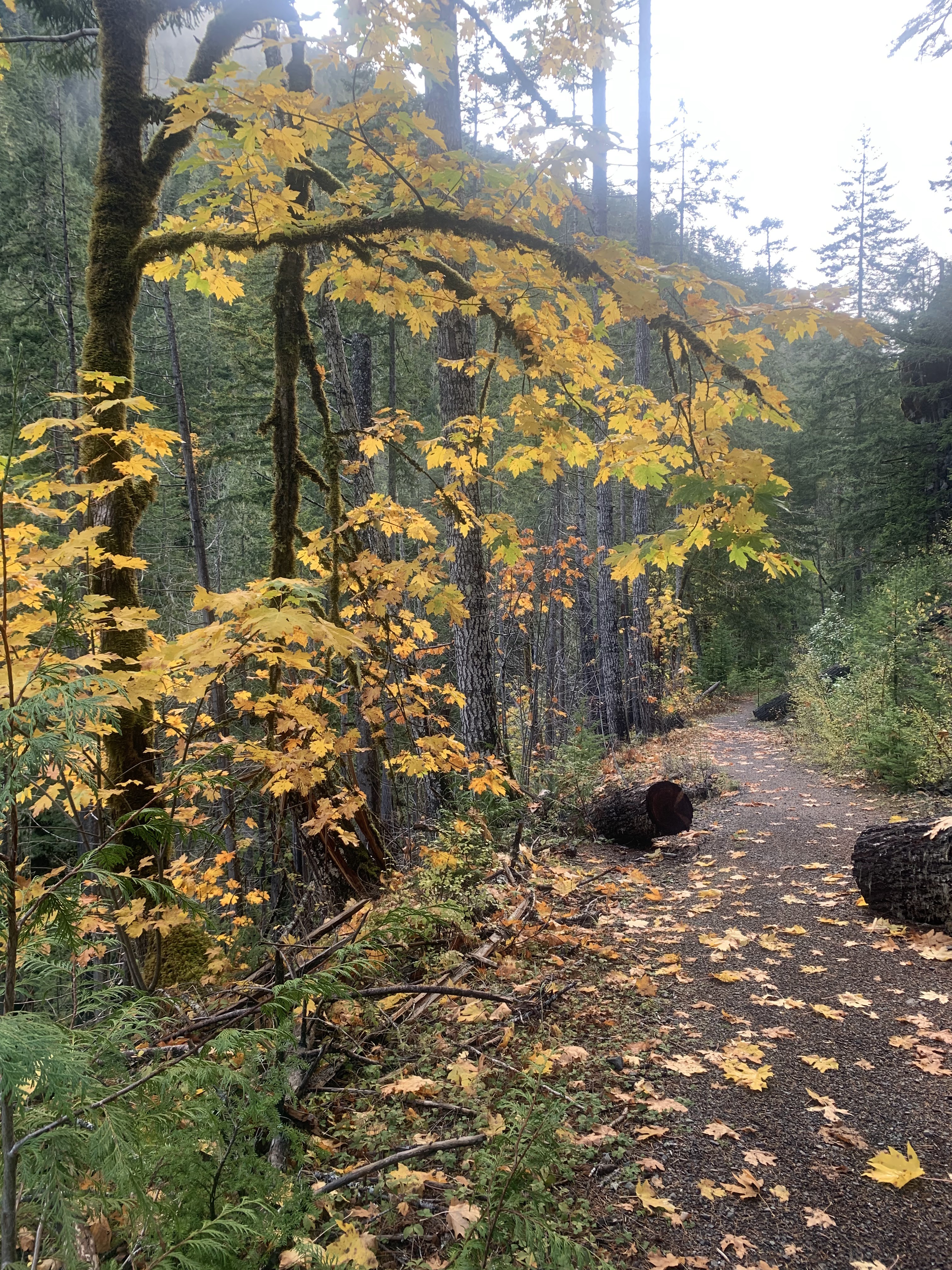
We drove out to the end of the Dosewallips Road on the west side of Hood Canal to hike the Dosewallips River Trail to the waterfall and back. This was 12 miles round trip with about 1.000 ft of gain. We only saw 6 other hikers on the trail. There was some nice fall color mixed in with the evergreen trees.
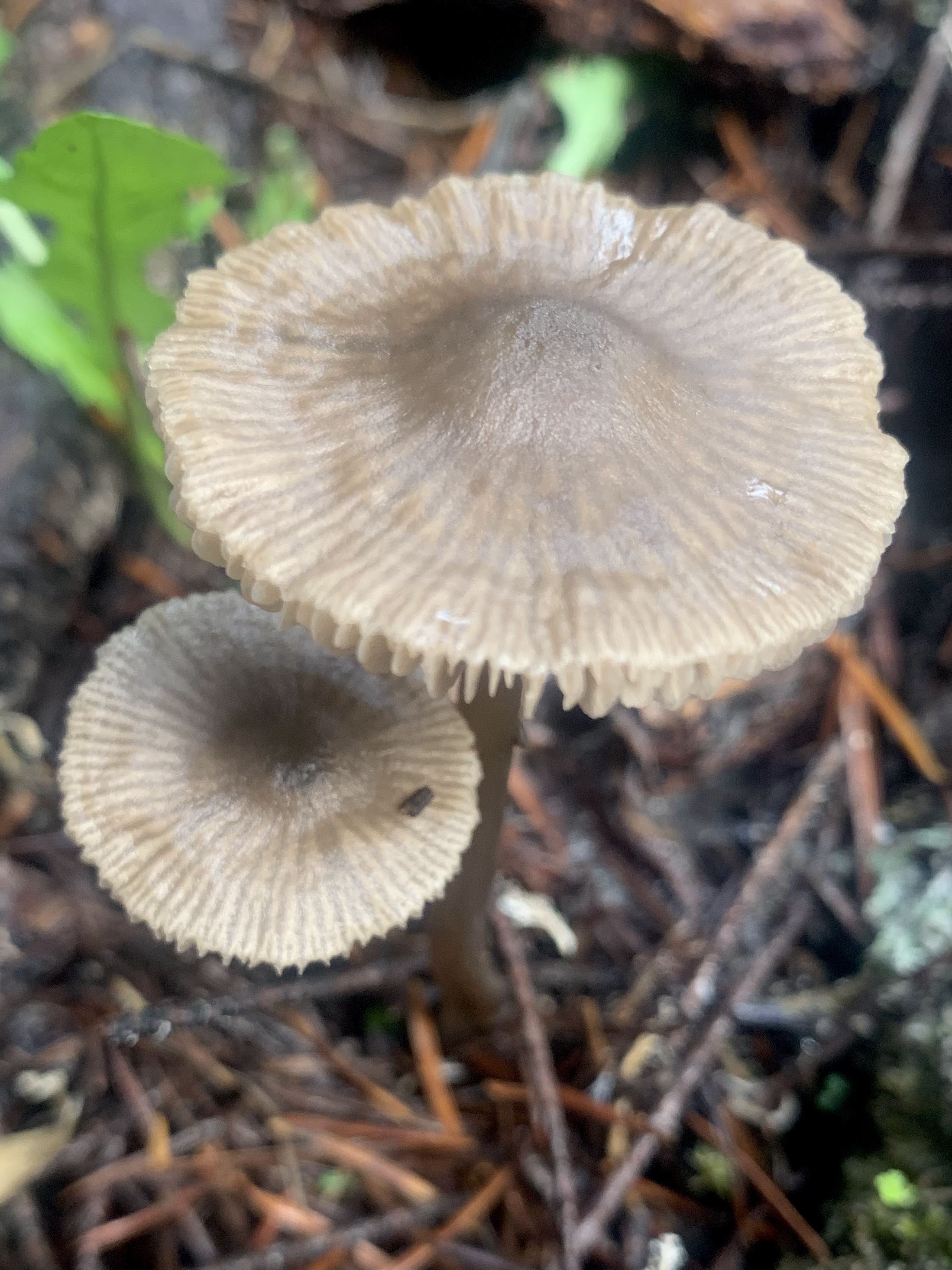
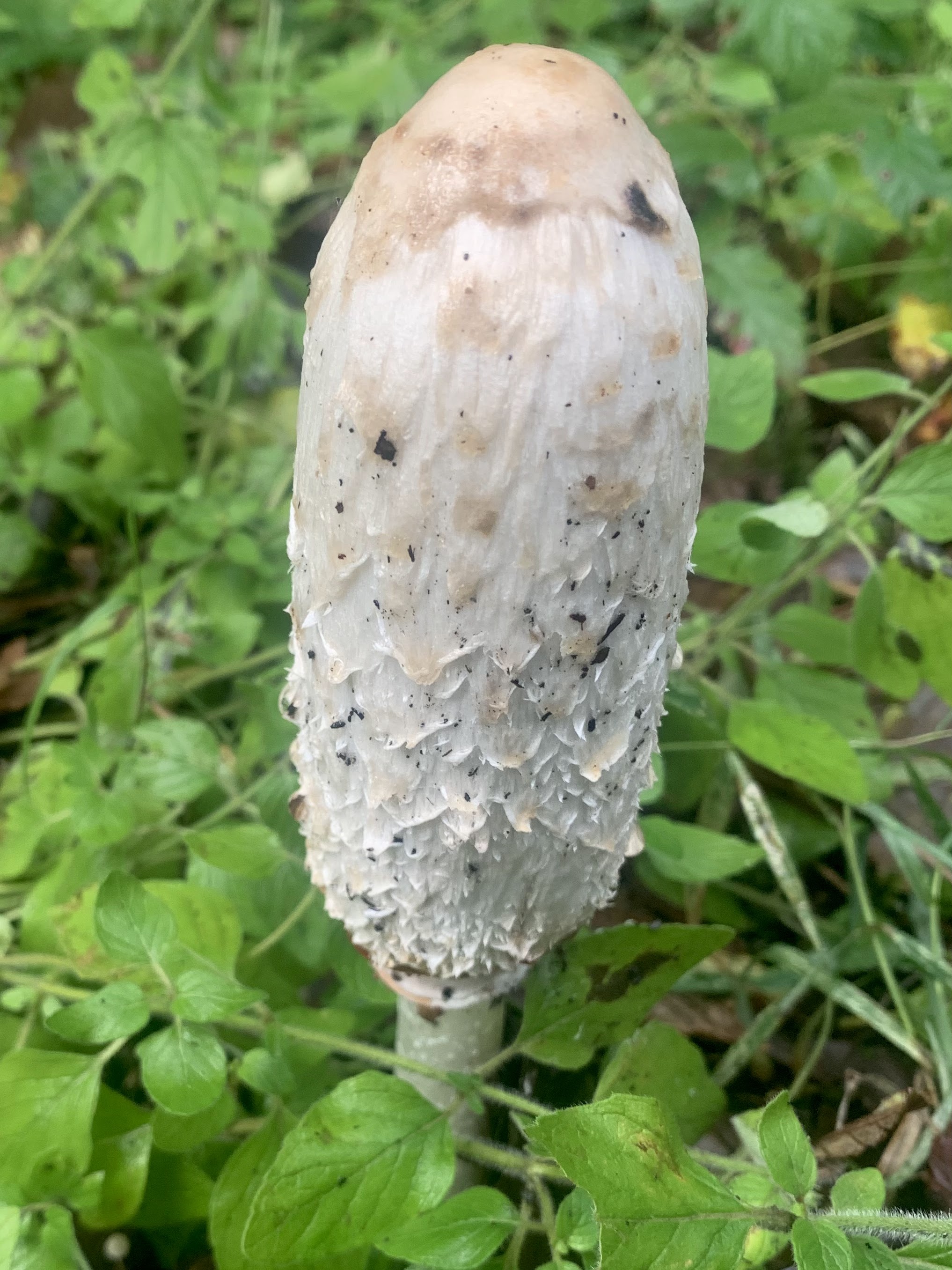
There were also lots of fungi.

 View along the Dosewallips River from the portion of the trail where the road was washed out several decades ago, looking west.

Views of Dosewallips River through the trees

Parts of the trail goes by tall rocky cliffs.

Lovely fern and moss covered boulder

More fall color along the way.
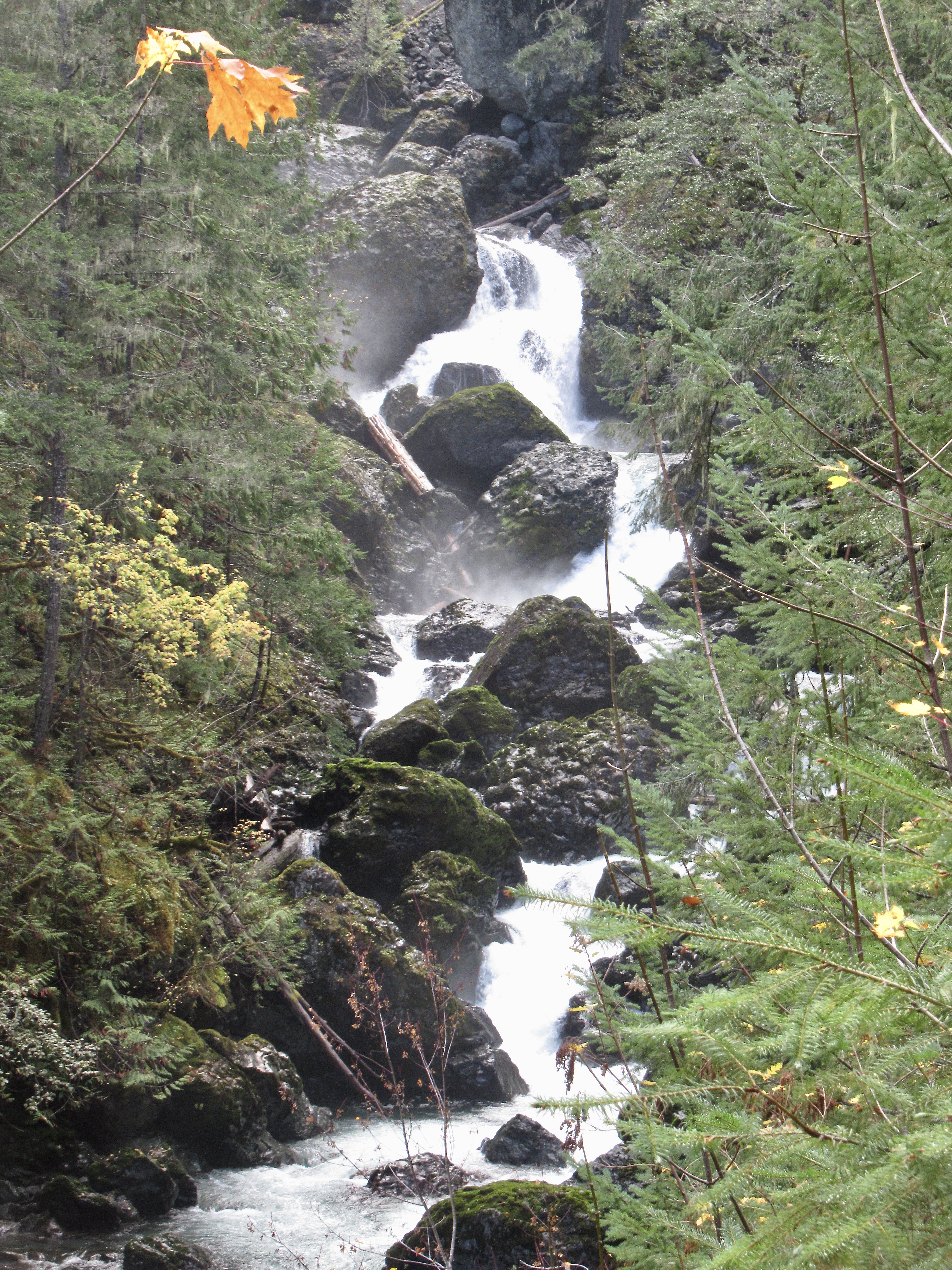
The trail enters Olympic National Park about 0.6 miles before reaching the falls on the Dosewallips River.

Part of the falls seen further upstream

There were some small patches of snow at 1,400 ft, the snow level was low last night.

Views as we turned around and headed back to the trailhead.

zoom of a snow covered ridge on Mount Jupiter

Back at the wash out looking east along the Dosewallips River,

and eastward.

Some snowberries along the trail
some of the many fungi seen along the trail today:

 We drove out to the end of the North Fork Teanaway Road to see how far up we could comfortably hike towards Lake Ingalls the day after a snowstorm. We followed two hikers' tracks up to Ingall's Pass and found no tracks through Headlight Basin towards Lake Ingalss. Our hike today was 6.6 miles round trip with 2,200 ft of gain. We only saw 3 other hikers on the trail today. View to the east from the parking lot.
 The trail was covered in snow the whole way up and we saw a few trees with fall colors along the way.
 Esmerelda Peak from near the start of the trail
 Looking back to the south as we continued to ascend the trail.
 Lovely to see the rocky peaks and ridges edged with snow.
 some small snow covered trees
 We saw many icicles on the rocks.

 View of the Esmerelda Peaks to the west
 The snow became deeper the closer we hiked towards Ingall's Pass.
 More icicles
 Snowy red rocks near Ingall's Pass
 We was some snow covered golden larches at Ingall's Pass, on both sides of the Alpine Lakes Wilderness Boundary.

 Mount Stuart remained in the clouds while we were at the pass.
 View of a peak to the east of the pass
 close up of a snow covered larch branch
 Views to the west of Ingall's Pass from where we took our lunch break

 Our last look across to the snow covered Mount Stuart before returning down the trail.
 Views as we continued down the trail:


 Some red leaves in the snow.