
 We drove out to the end of the Dosewallips Road on the west side of Hood Canal to hike the Dosewallips River Trail to the waterfall and back. This was 12 miles round trip with about 1.000 ft of gain. We only saw 6 other hikers on the trail. There was some nice fall color mixed in with the evergreen trees.
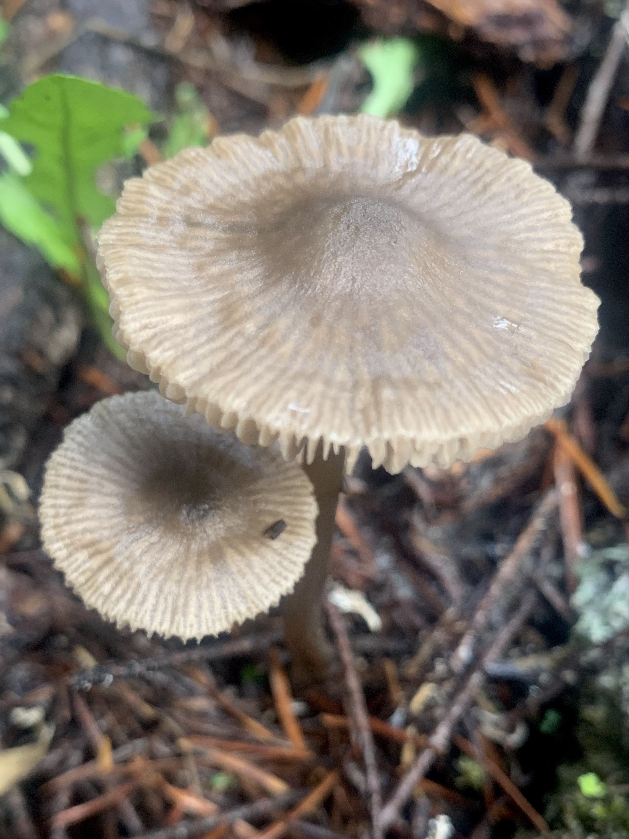
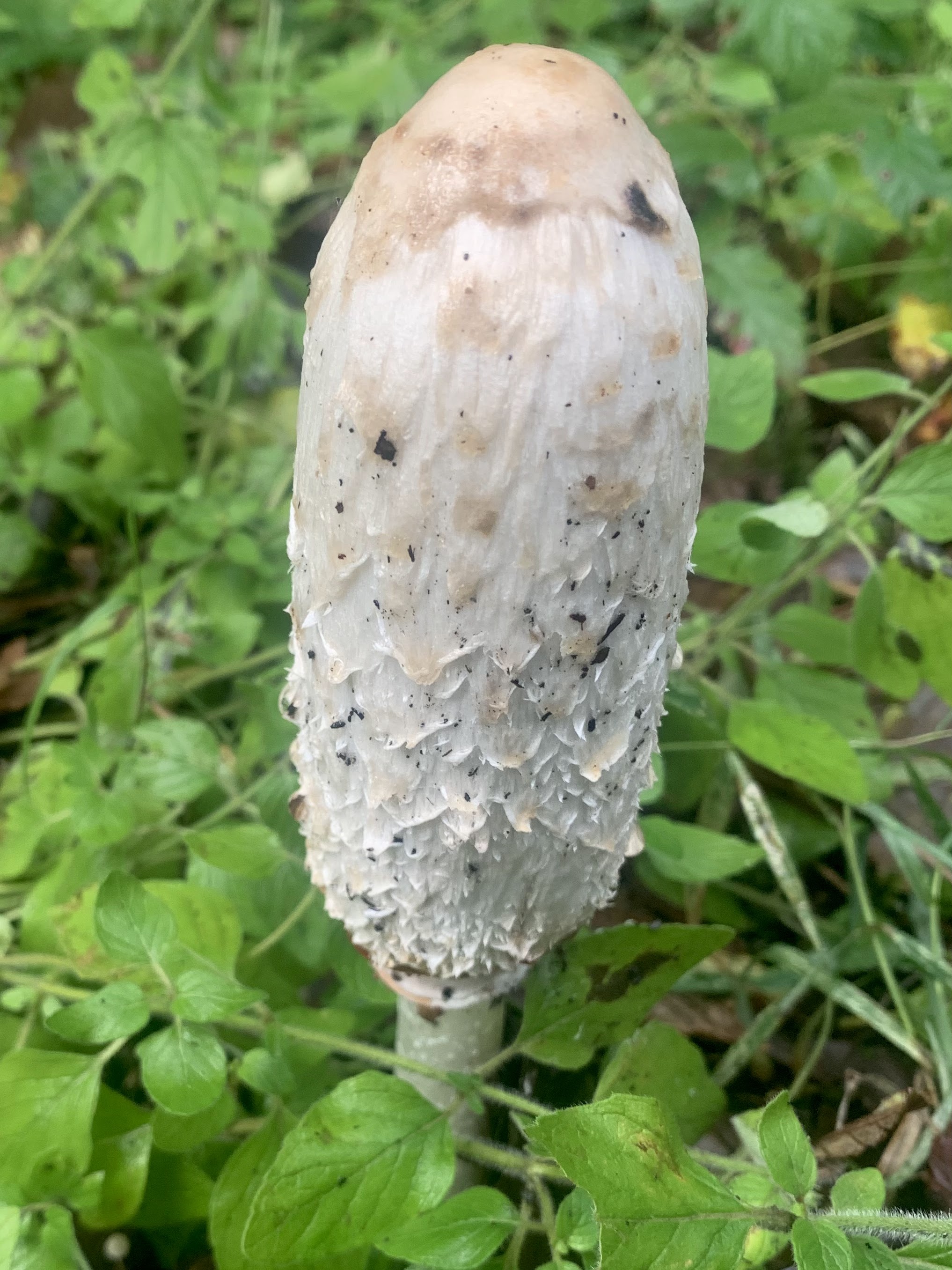
There were also lots of fungi.

 View along the Dosewallips River from the portion of the trail where the road was washed out several decades ago, looking west.
 Views of Dosewallips River through the trees
 Parts of the trail goes by tall rocky cliffs.
 Lovely fern and moss covered boulder
 More fall color along the way.
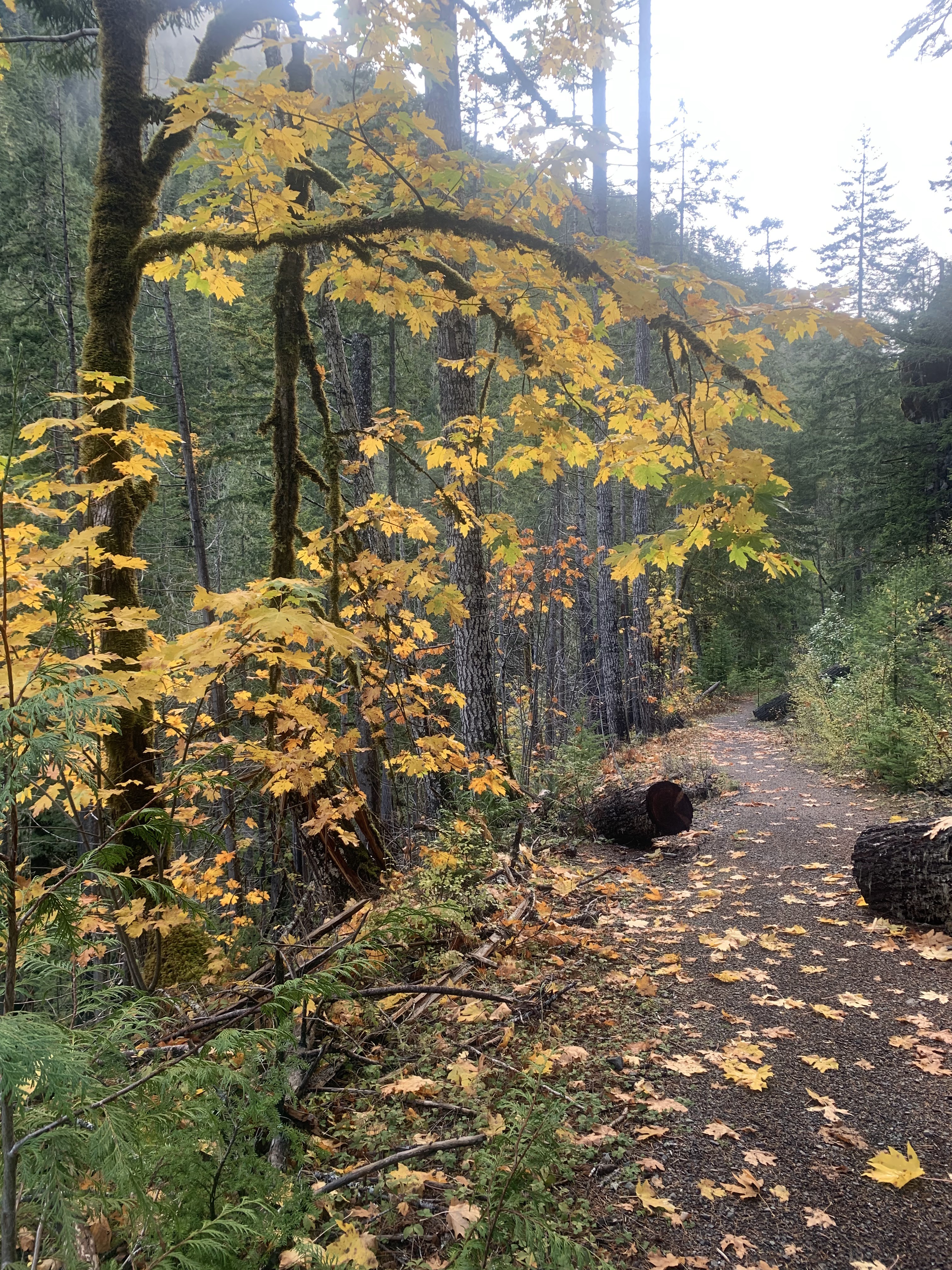

The trail enters Olympic National Park about 0.6 miles before reaching the falls on the Dosewallips River.
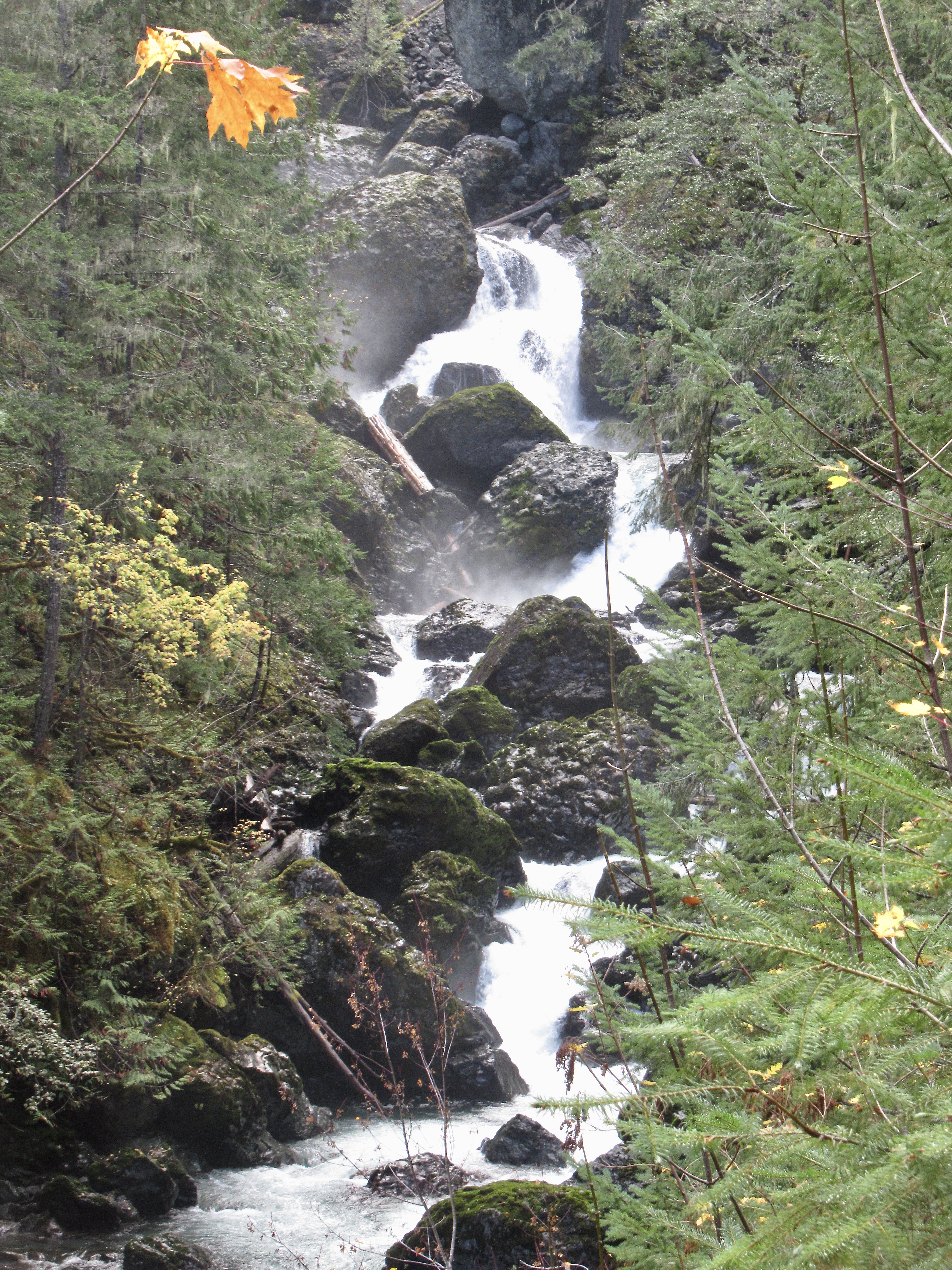
 Part of the falls seen further upstream
 There were some small patches of snow at 1,400 ft, the snow level was low last night.
 Views as we turned around and headed back to the trailhead.
 zoom of a snow covered ridge on Mount Jupiter
 Back at the wash out looking east along the Dosewallips River,
 and eastward.
 Some snowberries along the trail
some of the many fungi seen along the trail today:


No comments:
Post a Comment