We drove down to the King Canyon Trailhead at Saguaro National Park (West) to do an 8 mile loop hike to Wasson Peak with 1,800 ft of gain. Our route: King Canyon Wash Trail to the Sendero Esperanza Trail to the Hugh Norris Trail to the spur trail to Wasson Peak and back down to the trailhead on the King Canyon Trail.

Starting up the King Canyon Wash, a 0.9 mile trail.

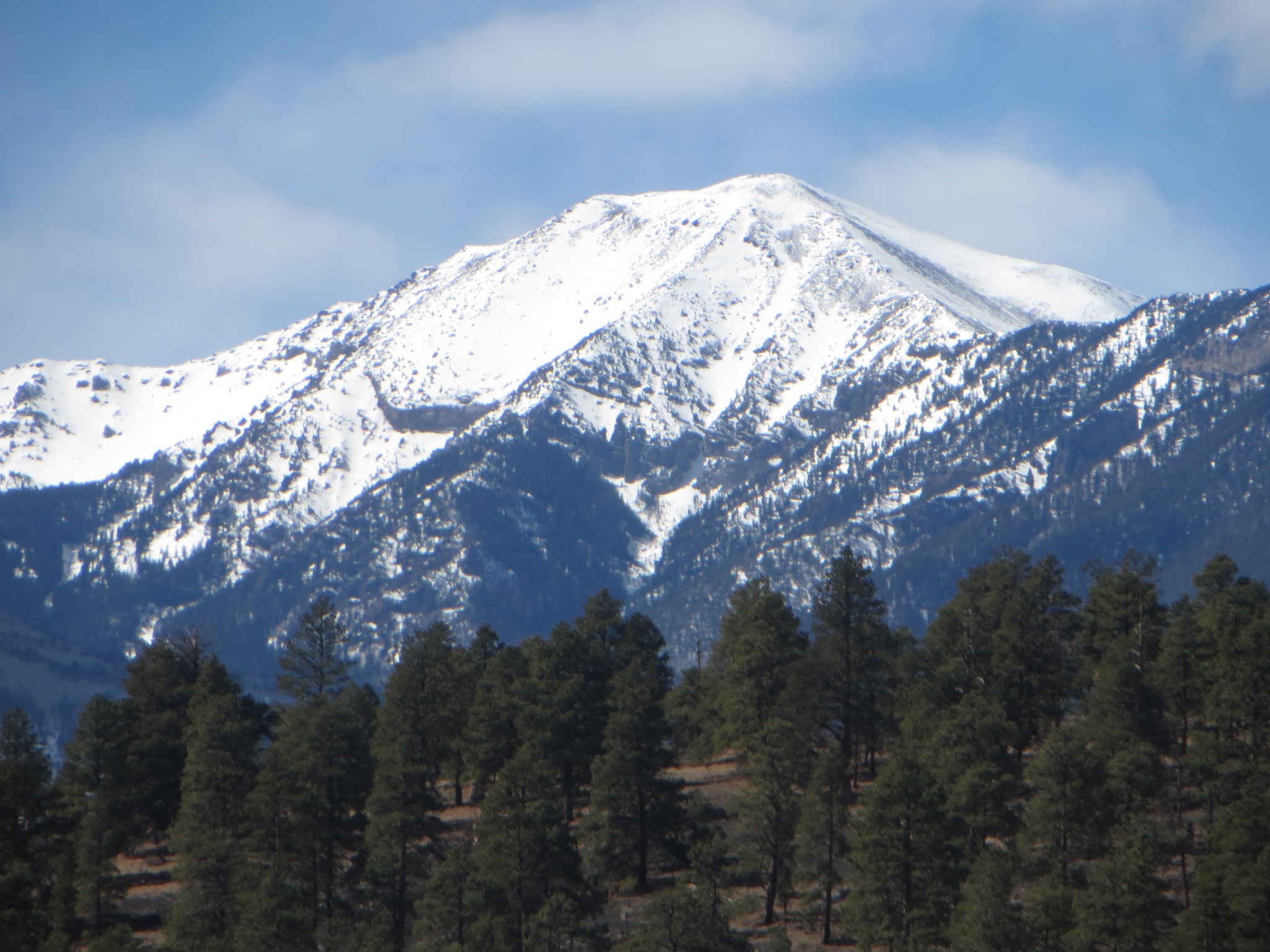
The wash was mostly in the shade, which kept us nice and cool this morning. Wasson Peak is behind the peak in the photo.

Shortly after joining the Sendero Esperanza Trail, we spotted what looks like an abandoned cabin near the picnic site.

We hiked 1.4 miles along the Sendero Esperanza Trail heading northwest. Lots of cacti and views along the route.

We saw several ocotillos beginning to bud.

buds on an ocotillo

Further up this trail, we found the remains of another abandoned cabin.

nest in a teddy bear cholla cactus

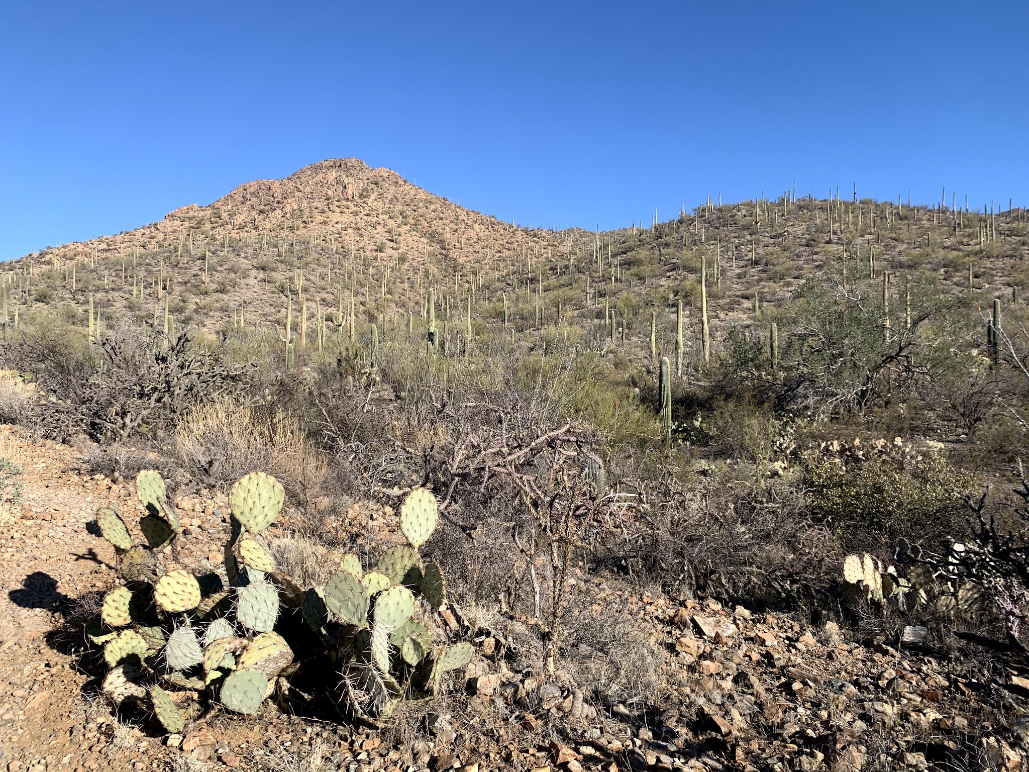
Looking back towards the southeast, lovely mountains in the distance

The teddy bear cholla had bright new growth on the ends

Buckhorn cactus in front of the Ridgeline along the Hugh Norris Trail

We headed east along the Hugh Norris Trail for about 2 miles, view to the north

The gain up the Hugh Norris Trail was fairly gentle. I loved the views here to the southeast

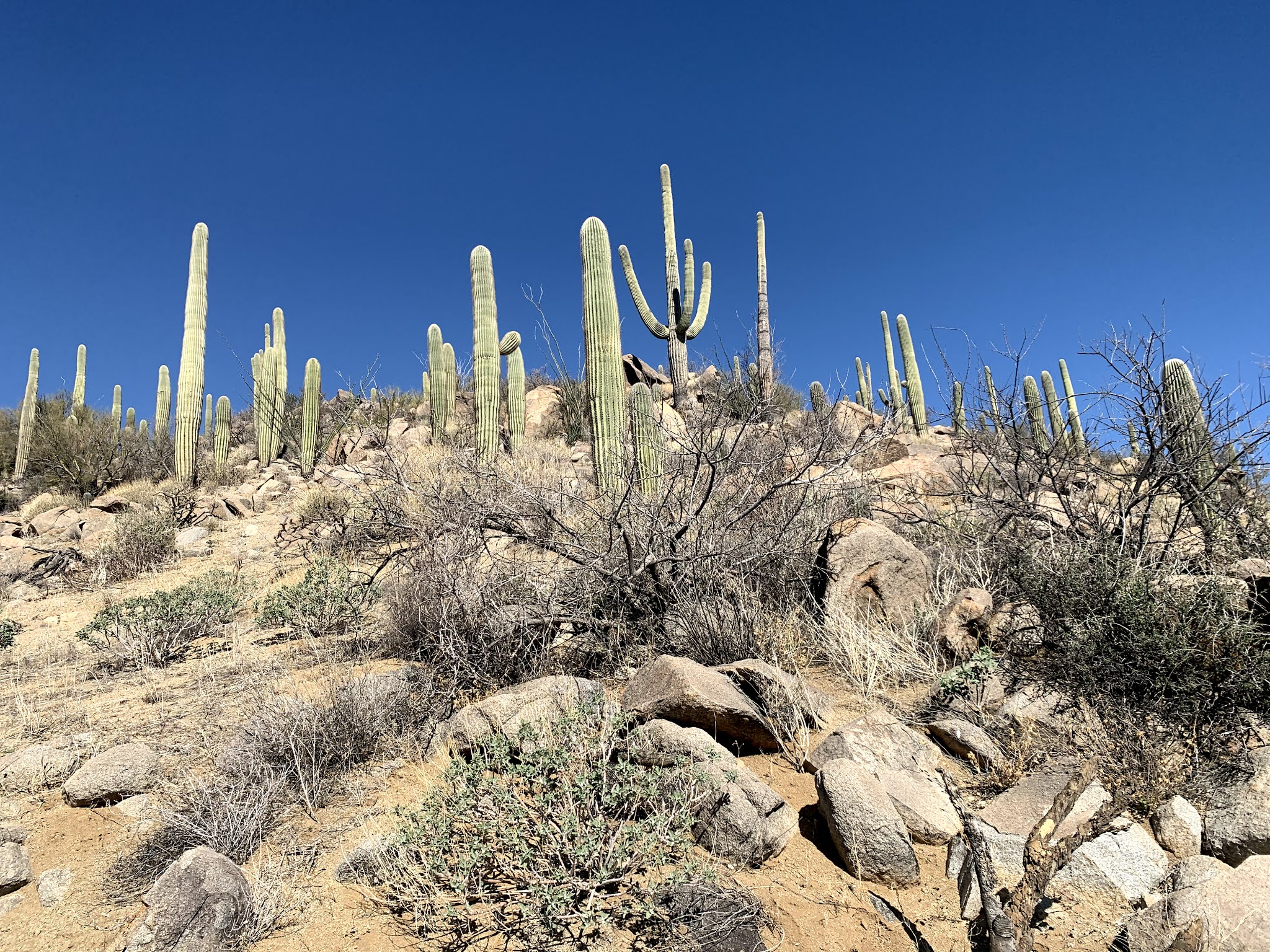
So many saguaros!!!

The trail goes up and through the saddle on top of this peak

Looking back at Amole Peak as we hike up to the saddle

After coming a very short distance down from the saddle, there is a 0.3 mile spur trail out to Wasson Peak and back. Wasson Peak at 4,687 ft is the highest peak in the Tucson Mountains.

View to the north from Wasson Peak

View to the east from Wasson Peak

Several switchbacks go down on the King Canyon Trail from Wasson Peak, the views to the southeast are gorgeous!

Fruit on top of a barrel cactus

The King Canyon Trail was 3.2 miles down to the trailhead. Lots of winding trail among the hills, with distant views and

lots of saguaros

Looking back towards the peak in front of Wasson Peak, much further down the trail

Looking across King Canyon Wash to the cabin ruins near the picnic area where we were this morning .

Between the hills, we had lovely views of the distant mountains to the southwest

We saw several mule dear up on the hillside as we were near the trailhead.

 Our second short hike at Sunset Crater Volcano National Monument today was the Lava Flow Trail. this is a 1 mile loop trail. It was still about 29F with a chilly breeze. The park is at 7,000 ft.
 Sunset Crater in the near distance
 Behind us, we could see the San Francisco Mountains
 To the northwest is O'Leary Peak, just outside the park boundary
 Looking up at a Spatter Cone
 Another spatter cone
 view of the San Francisco Mountains across the lava flow
 There was some ice on the trail today
 Another view of Sunset Crater
 view of a squeeze-up
 squeeze up from the other side
 View of Sunset Crater across the lava flow
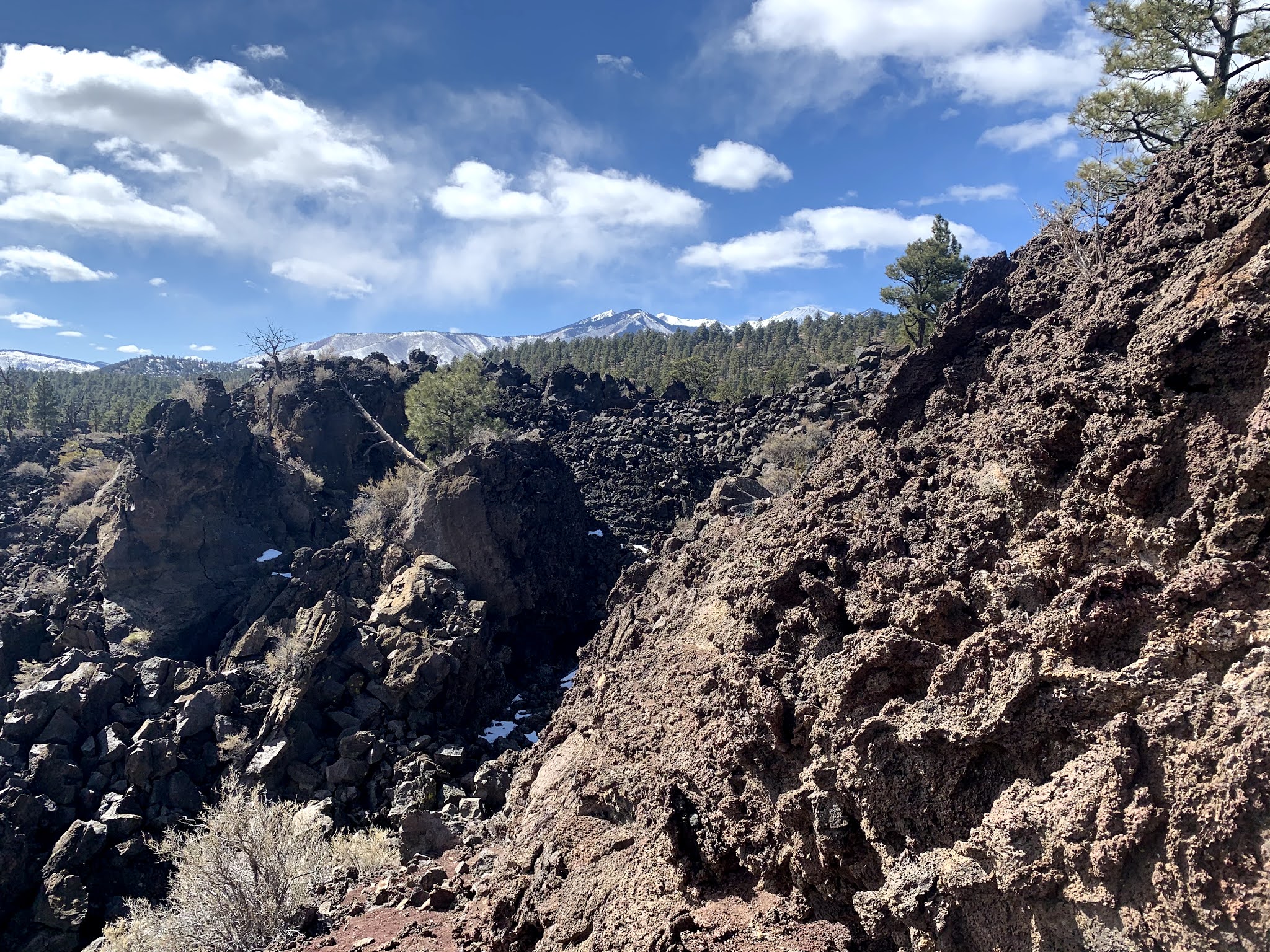 There were some large chunks of lava