Wednesday, August 29, 2012

High Skyline Loop Hike at Mt Rainier

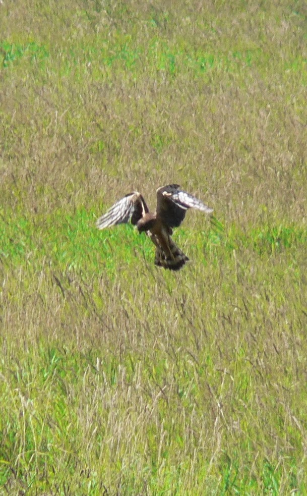
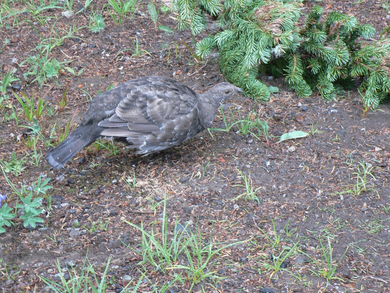
We drove up to Paradise on Mt Rainier for a gorgeous hike. We parked in the lower parking lot to give us more time in the meadows and a longer hike. We hiked about 6+ miles with around 2000 ft total elevation gain.On the trail between the upper and lower parking lots we saw grouse and deer, besides lots of wildflowers.


We hiked up the Alta Vista Trail option of the Skyline Trail, even at the end of August, 
we had a couple of snow fields to cross. We were now hiking in the clouds.
 We hiked the short side trip to Glacier Overlook and then up to Panorama Point,
very limited visibility. 
 We didn't want to cross the steep icy field on the lower Skyline trail, 
so we headed up to the High Skyline trail, lots of large interesting rocks
 As we descended back into the meadows, the was lots of fresh snow melt 
and an abundance of wildflowers.
 
The trail continues past the Golden Gate Trail turn off, on to Mazama Ridge then descends down the Skyline trail
 
We saw marmots in the rocks among the wildflowers.
 On the left: Sluiski Falls (300 ft) in the distance. On the right: one of the many small falls we saw.


 Continuing along the trail, the clouds lifting to the south. More wildflowers.
 Myrtle Falls (60 ft) only 0.4 miles from the Paradise Inn.

Wednesday, August 22, 2012

Nisqually River Delta Hike Washington

The hike at the Nisqually National Wildlife Refuge is a fun easy hike to do anytime of the year. I went with my 80+ year old parents. We saw deer on the road between I-5 and the parking lot. There is no elevation gain on this hike.
 There is a short 1 mile loop hike, which was what my Dad did. Mom and I hiked with him half way, then continued out to the end of the boardwalk to the Puget Sound Viewing Platform for a 4 mile hike.
Some of the birds and a turtle we saw along the loop trail:
 
The boardwalk near the Shannon Slough Blind
 We saw sandpipers (?) and a Great Blue Heron
 
 The boadwald extends out towards Puget Sound, where we good see the Narrows Bridge between Tacoma and Gig Harbor to the north.


On the walk back we saw this peregrin falcon and many other birds that didn't sit for photos.


Saturday, August 18, 2012

Burroughs Mountain Loop Hike at Mt Rainier

In the late summer, I love to go up to Sunrise, the wildflowers are in bloom and on a clear day the views are fabulous. The hike is listed as 7.4 miles roundtrip and 1000 ft elevation gain.
 We headed up to the Sourdough Ridge trail about 1.3 miles with a 300 ft elevation gain
 where there war lots of wildflowers
 At the far end of Frozen Lake, the trail divides, we headed to the left, 
up the Burroughs trail for one mile and 400 ft elevation gain.
 Near the top of First Burroughs, a fabulous view
 and we saw mountain goats.
 The trail to Second Burroughs is only 0.7 miles, but first you descend about 100 ft before climbing another 400 ft. Now you are even closer to the mountain.
 Looking away from the mountain to the west, we could see all the way to the Olympic Mountains.
 We hiked back to First Burroughs, then down the other side of the Burroughs Mountain Loop Trail,
looking down to the Glacier Basin Trail, the turquoise tarns and across to Goat Island Mountain.
 Parts of this trail were steep and rocky.
 We took the short side trail to Shadow Lake
 Less than 0.5 mile from the Sunrise parking lot, we saw a young bear eating by a stream.
A wonderful day on the mountain.

Sunday, August 12, 2012

Eunice Lake and Tolmie Peak Lookout Hike at Mt Rainier

We were meeting other members of my Mom's extended family for a family hike on Mt Rainier.
The trailhead starts at the west side of Mowich Lake. this is a 6 mile hike with 1100 ft elevation gain.
 The hike begins in the forest and skirting around Mowich Lake to the north. 
We got a glimpse of the top of Mt Rainier and Mowich Lake through the trees.
This portion of the trail is 1 mile joining the Wonderland Trail  (with about 300 ft elevation gain, then a steep descent) to Ipsut Pass, where the trail splits. The wonderland trail goes off to the right, our trail to the left. Continue about 1 mile, near the end of this section the trail climbs steeply in a series of switchbacks (about 200 ft). Before reaching the lake, my 84 yo Mom took a rest then returned to Mowich Lake.
Shortly before the lake we saw fields of avalanche lilies.
We took a lunch break on the side of Eunice Lake
 The last section of the trail is about 1 mile, rounding Eunice Lake then climbing about 450 ft. 
We stopped along the way to admire the views.
 At Tolmie Peak
 We hiked back to Mowich Lake. Mom with her 5 kids.

Wednesday, August 8, 2012

Rachel Lake and Rampart Ridge Hike Washington

Our planned hike was up to Rachel Lake in the Alpine Lakes Wilderness, we had enough energy to continue up to Rampart Ridge. We hiked about 10 miles round trip with about 2000 ft elevation gain.
The trailhead is up the Kachess Lake Road on the east side of Snoqualmie Pass.
 This trail has lots of downed trees and large boulders to climb over, but it is a beautiful hike. The first 2.5 miles are a gentle climb through Box Canyon.
 

The next mile is steep gaining about 1300 ft, crossing streams without bridges and many boulders.
 After another 0.5 miles you reach a waterfall, a great place to rest and catch your breath.
 Another 0.5 mile uphill brings you to Rachel Lake (4 miles from the trailhead and 1600 ft elevation gain), we ate lunch and rested here for awhile.
 The trail to Rampart Ridge continues on the other side of Rachel Lake, climbing about 400 ft.
 At each switchback, we would turn around to enjoy the views.
 We spent about an hour walking around Rampart Ridge, hiking over some snow patches and around some ponds, before it was time to head back.
 
 From Rampart Ridge to the east, Hibox Mountain