Thursday, February 27, 2020

Mount Amabilis Snowshoe

We drove over to the Cabin Creek Nordic Ski Area to snowshoe up to Mount Amabilis,  we took another route down to make a lollipop loop, 11 miles with 2,090' of gain.
We were respectful of the groomed trails and stayed off to the far side of the groomed ski tracks.
The majority of this trail is on closed forest roads, mostly in the trees.
This was one of the widest pinwheels I have seen (about 12'' across)
As we went up the higher sections, we began to see Mt Rainier to the south,
zoom of Rainier
View of the peaks at Rampart Ridge and the far end of Kachess Lake from a viewpoint near the top.

Near the top, we left the groomed trail broke trail to the summit.
We had to be careful of the cornices on the summit, cornices framing Kachess Lake

View from the top of Mount Amabilis to the northwest


pano to the north from atop Mount Amabilis

To the south Mount Rainier


Back on the groomed trail, this viewpoint is near where the groomer turns around.
View from the end of the groomed trail
We went cross country to connect with another closed road that would eventually join the route we came up on.
There was a nice open area with a view toward Keechelus Lake and Snoqualmie Pass area.


photo showing the route we took today

Tuesday, February 25, 2020

Glacier Vista Snowshoe

The Longmire Entrance to Mt Rainier National Park open yesterday after being closed for almost 2 weeks due to the road being washed out by a mud slide. So today, I drove up to Paradise to snowshoe up to Glacier Vista, 2.6 miles round trip with 1,010' gain.

View of Mt Rainier from Kautz Creek viewpoint near the park entrance
View of Mt Rainier from the Longmire Inn porch while waiting for the gate to open to the road to Paradise
The parking lot at Paradise was almost empty when I arrived
Surreal to be the first one up on the snowfield at Paradise since the road closed two weeks ago.
Mine where the only tracks heading up, looking back at the parking area and the Tatoosh Range.


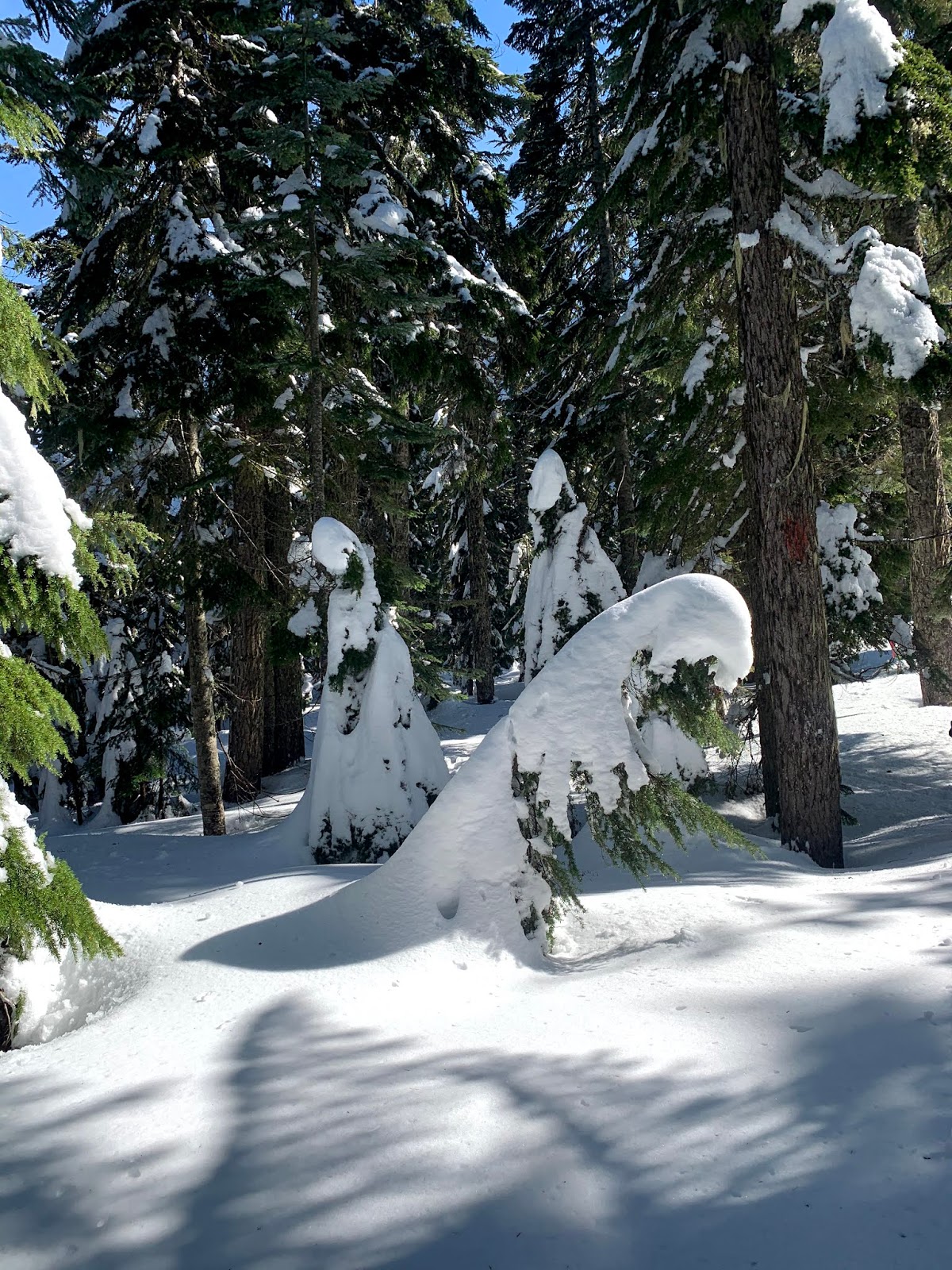
I broke trail the entire way up to Glacier Vista.


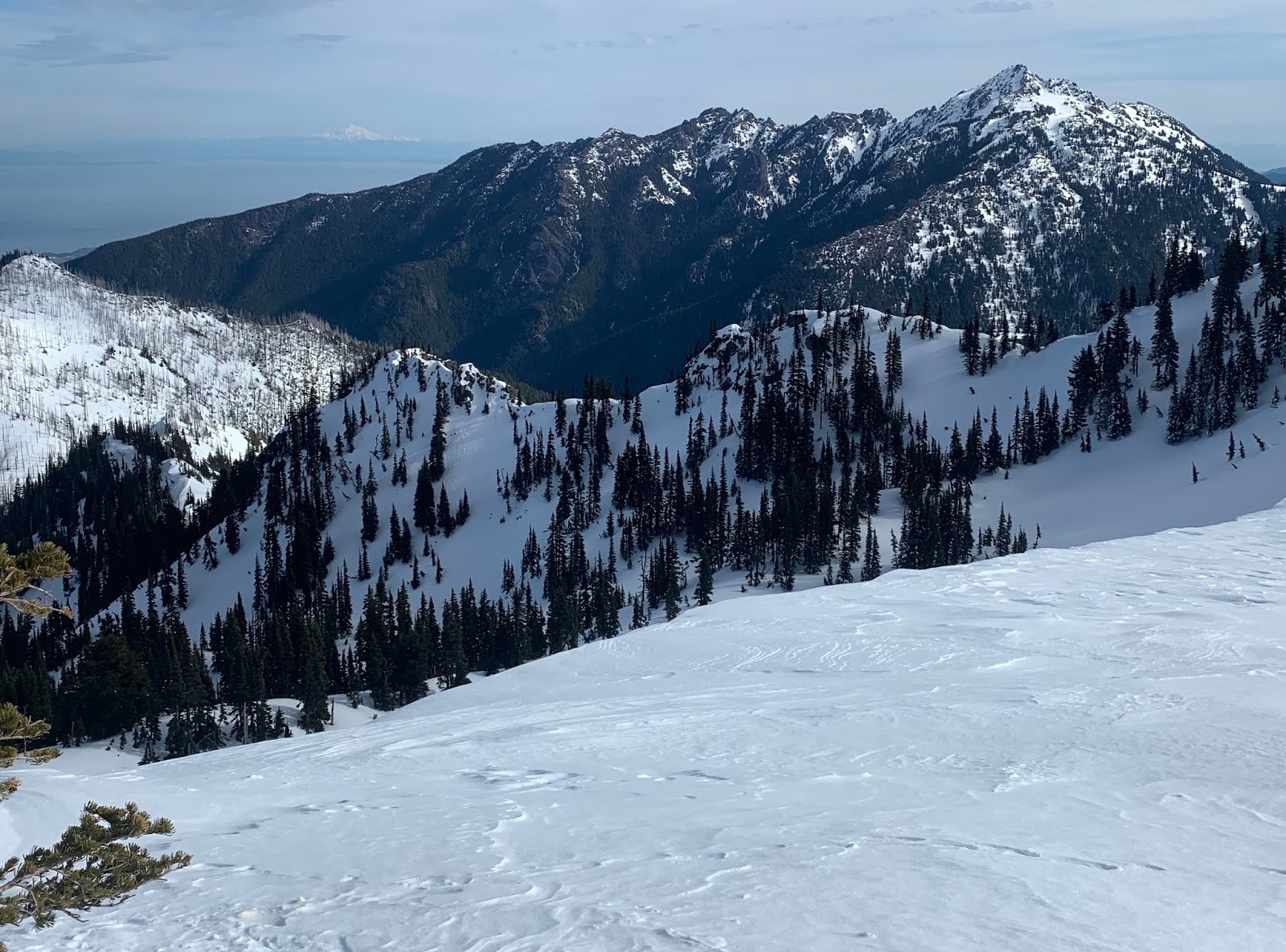
To the west: Iron, Copper and Pyramid Peaks on the side of Mt Rainier


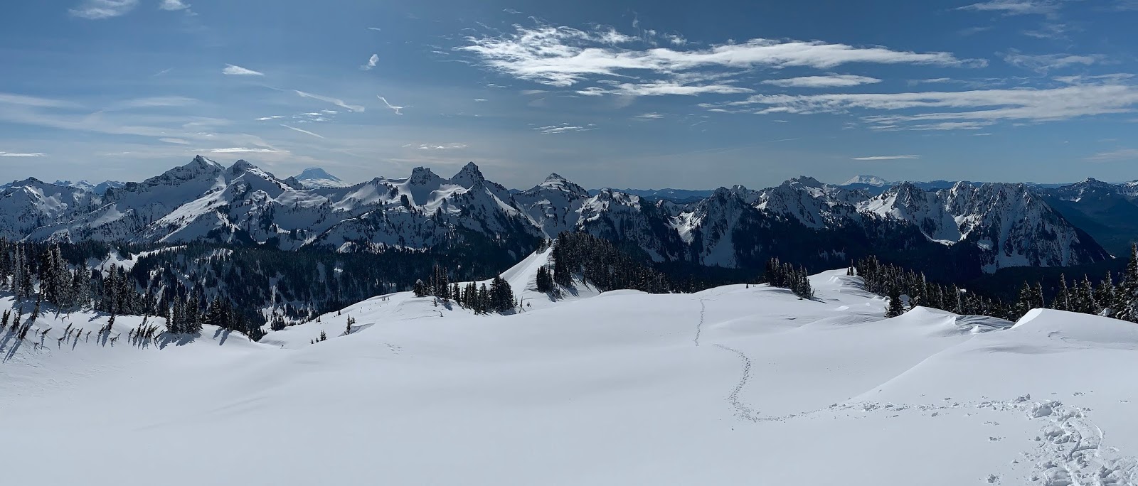
Looking back to the Tatoosh Range, with Mt Adams and Mt St Helens to the distant south.

I see my trail is not straight, but meandering as I enjoy the solitude of this landscape toady.

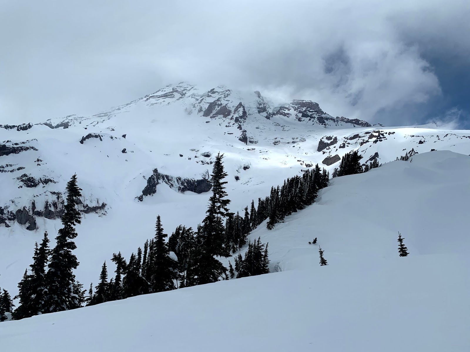
Was interesting to watch the clouds gather around Mt Rainier as I continued up to Glacier Vista.


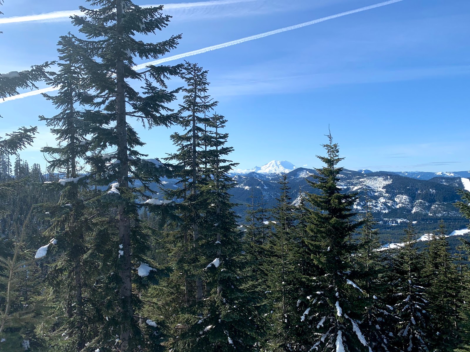
Another view to the south, I could now see the Goat Rocks and Mt Hood far to the south

So quiet, I could hear some rockfall coming off the mountain.

View of Mt Rainier from Glacier Vista, lots of clouds and lots of new snow covering the glacier.

With an avalanche risk of considerable above tree line, and having seen lots of rollerballs come down as I was driving up to Paradise, I opted not to go up to Panorama Point (which is an avalanche slope). Heading back towards Paradise, looked back to see my sole steps in the snow. I would not see anyone else on the snow until I was almost back to the parking lot.


I love this short hike, the view up is of Rainier and this glorious view is in front of me as I return back down!!!


small water flow near Christine Falls on the drive back down towards Longmire
Christine Falls


downstream from Christine Falls

Friday, February 21, 2020

Hurricane Hill Winter Hike

Drove up to Hurricane Ridge at Olympic National Park to snowshoe up to Hurricane Hill. The rangers said the route was well packed down and I would probably not need to use my snowshoes. I hiked the entire way with micro spikes without post holing. Gorgeous day, 6 miles round trip with an overall elevation gain of 1,000 ft.
Pano of the Olympics from near the Visitor Center looking south:

close up of Mt Olympus
From the parking area, I hiked down the closed Hurricane Hill road, a short ways down, I had this view of the ridge line that goes up to Hurricane Hill (center of photo) to the north
to the west is the Bailey Range


About 1.5 miles from the Visitor Center, the closed road ends and the trail up to Hurricane Hill begins. A short ways up from the end of the road, I looked back and took this pano to the south:
Mount Angeles to Mt Olympus to the Bailey Range.

To the north: the trail heading up the ridge towards Hurricane Hill, Mount Angles to the right.

Looking back from further along the ridge line.
As the trail began to go up Hurricane Hill, I could see a lovely blue color under a cornice.


Pano from the top of Hurricane Hill looking southward: Mt Baker, Klahhane Ridge, Mount Angeles, Olympics, including Mt Olympus

Mt Baker behind Klahhane Ridge and Mount Angeles


To the north is Canada, San Juan Islands, Mt Baker and below Port Angeles
Shallow snow atop Hurricane Hill, the elevation marker was partially exposed.

As I started to descend, I could see another hiker heading up.


I love hikes, where the way back down is into incredible views!!!
 Cornices and another view of Mount Angeles


Wednesday, February 19, 2020

Kendall Knob Snowshoe

Went back to Snoqualmie Pass to take a friend  up to Kendall Knob for the first time. Snow was softer than yesterday, so I felt more comfortable in snowshoes. 8 miles round trip with 1,800 ft gain.


view to the west
Sunshine and icicles on a bluebird day. 

Kendall Peaks
Last section over to Kendall Knob and the views


Rampart Ridge, Gold Creek Pond, Lake Keechelus and Mt Rainier to the east and south
wind blowing the snow off Rampart Ridge


such a beautiful spot to take a break


zoom of Mt Rainier
looking back towards Kendall Peaks


being surrounded by gray jays


Gorgeous views on the way back