
 We drove out to the 29 Pines SnoPark in the Teanaways to snowshoe up Indian Creek (or the ridge between Indian Creek and Jack Creek. Our route was 4.5 miles with 800 ft of gain. From the SnoPark, we walked 0.6 miles back down along the road. We missed the turnoff to the closed road going up the ridge at 0.3 miles from where we parked. We didn't see any other people on our trip this morning.
  We saw what looked like a connector route to the closed road, put on our snowshoes and headed up this way.
 There was a small creek to cross before reaching the closed road, my companion waded across the creek, I was able to jump across,
 when I landed, one foot went into a hole and I slipped into the snow. Fortunately, I did not fall backwards into the creek. We decided when we completed this ridge hike we would not return this way.
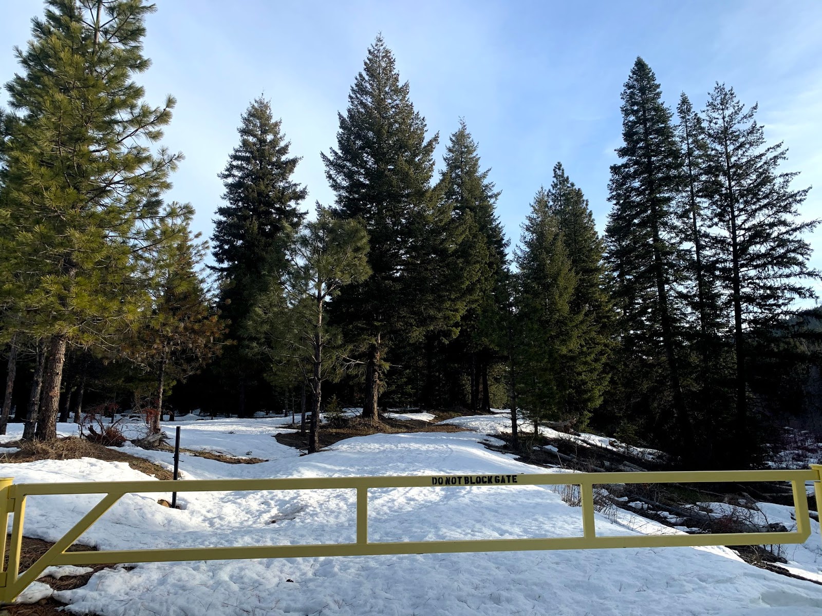
 It was easy to follow the closed road up along the ridge.
 Besides an old set of ski tracks and a set of footprints, we followed what looked like coyote prints for quite a ways.
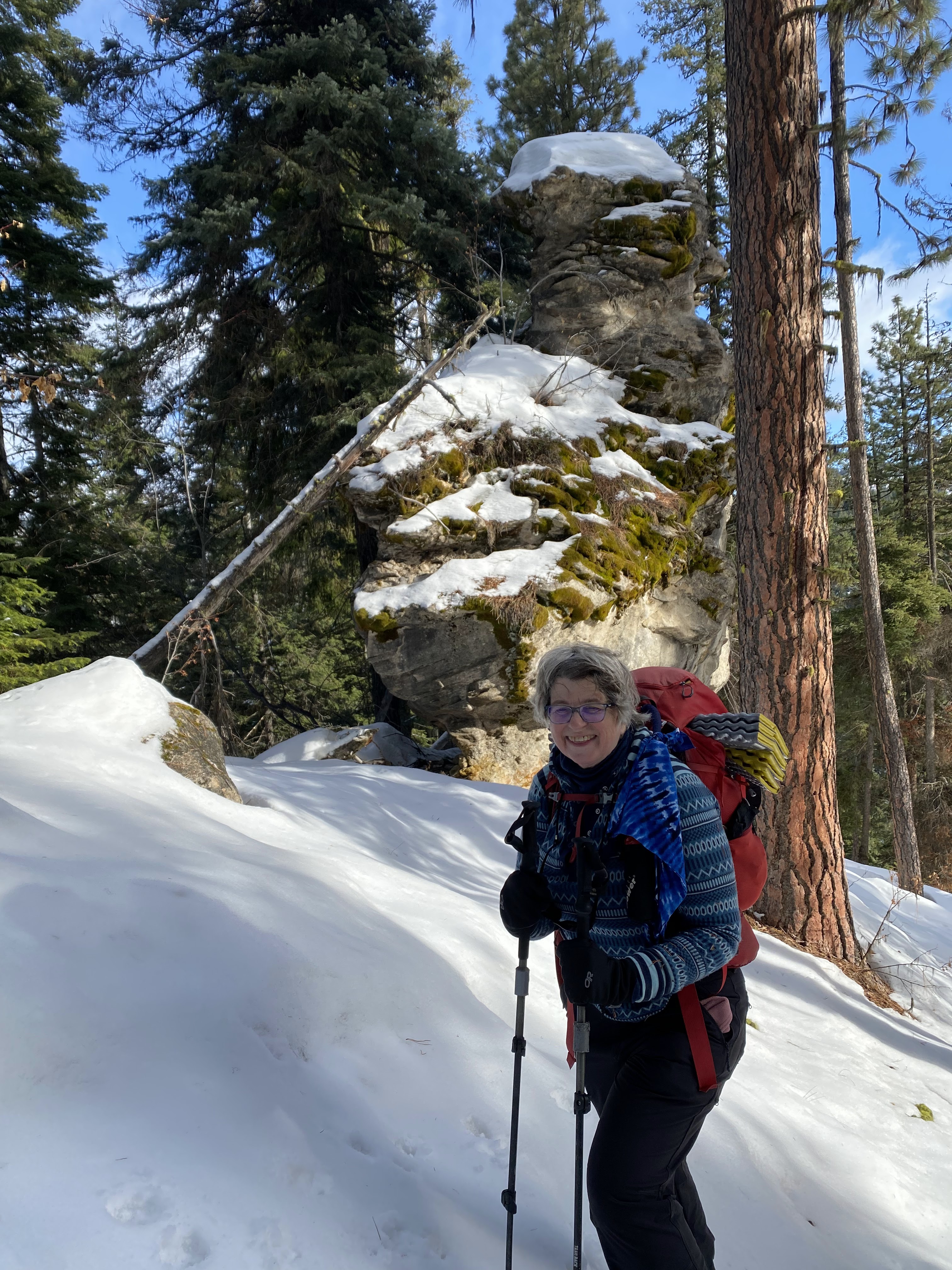
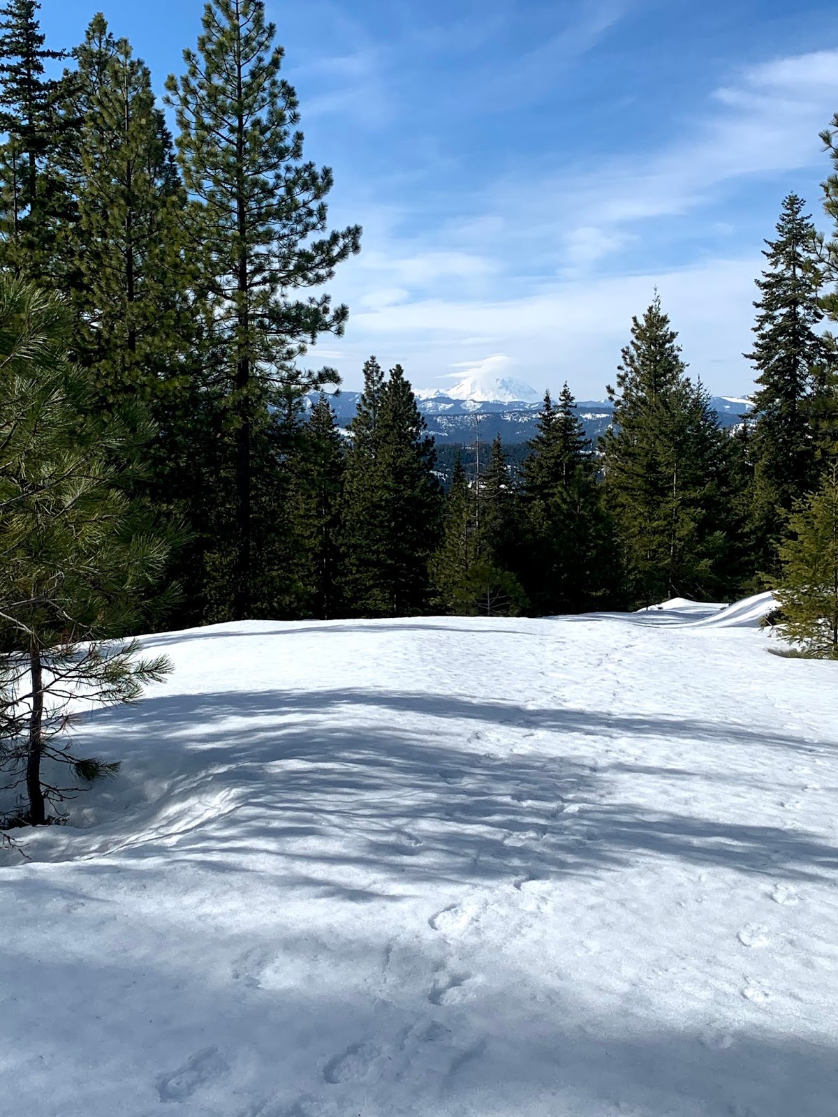
 Although the day was cloudy, we could see some snowy hillsides through the trees.
  On our way down, we were able to go cross country to join a connecting closed road to the original road we began on, to make a bit of a loop.
 Further down, we saw what appeared to be either large coyote or maybe small wolf prints in the snow.
Another peekaboo view on our way back down. Our snowshoe was a bit slow as the snow kept sticking and clumping to the bottom of our snowshoes. We got a good leg workout on this short trek.


