Drove to Packwood and up FSR 1260 in the Gifford Pinchot National Forest to hike to Packwood Lake. I hiked almost to the south end of the lake for a hike of 12 miles round trip with about 800 ft of overall elevation gain. This hike is in the forest, a nice way to keep cool on a sunny day. Early on in the trail, I had this peek of Mt Rainier through the trees.

2 miles from the trailhead, the trail enters the Goat Rocks Wilderness.

Shortly afterwards, I crossed this small stream.

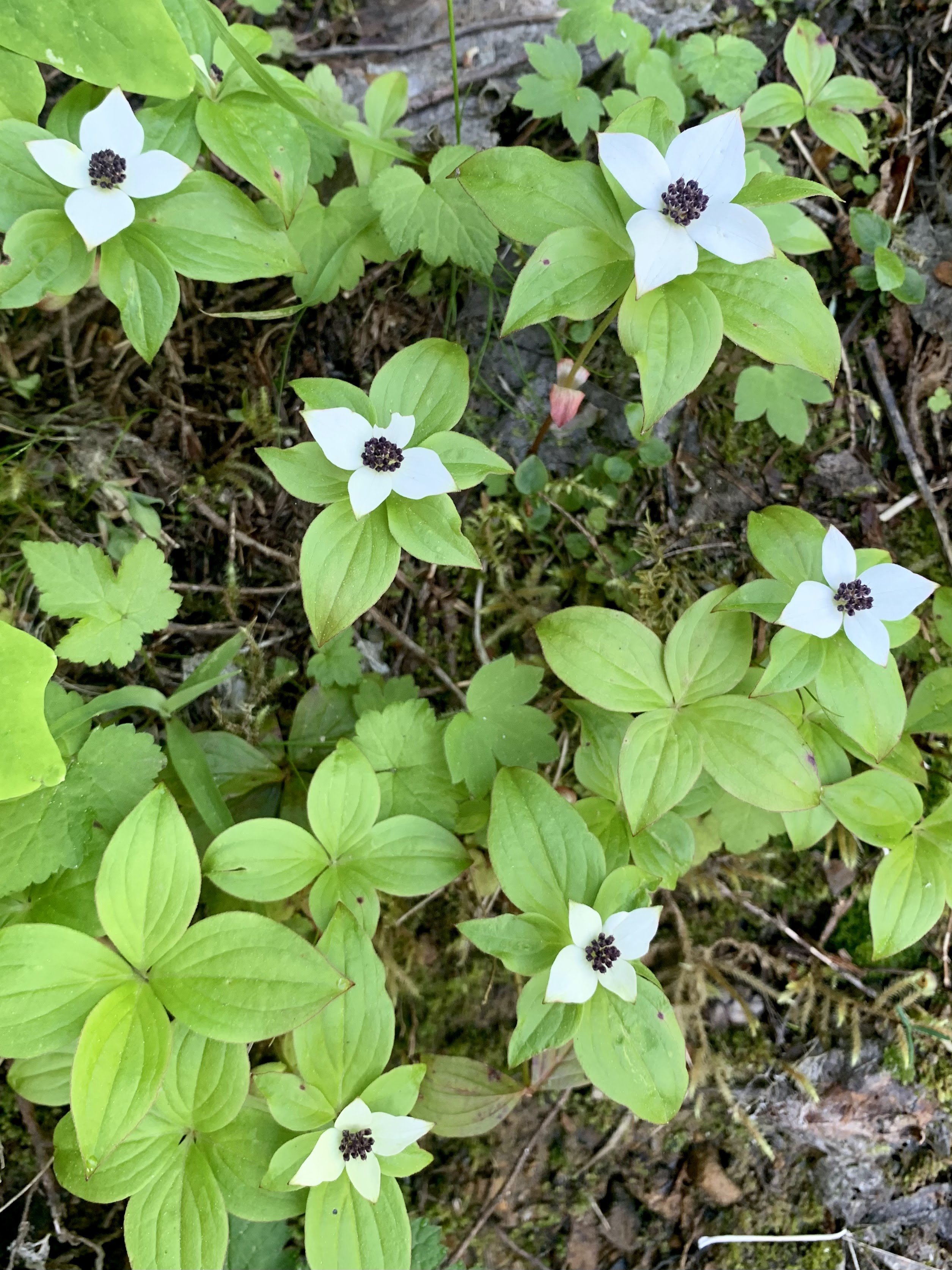
Beargrass was in bloom along the trail.

About 4 miles from the trailhead, the trail leaves the Goat Rocks Wilderness before reaching the lake in another 0.25 miles. View of Packwood Lake near the ranger house.

About 0.2 miles further is a 1910 Ranger Station that is being restored.

Right after the old Ranger Station is a large bridge over Lake Creek

view downstream of Lake Creek from the bridge

View of Johnson Peak and Packwood Lake from the bridge

partial zoom of Johnson Peak and Agnes Island in Packwood Lake

zoom of Johnson Peak

view a little further down the trail

There were several streams over the trail on the east side of the lake.

About 3/4 mile from the ranger house, the trail re-enters the Goat Rock Wilderness. Another view along the lake.

From the east shore looking west

zoom of Canadian Geese on the lake

Streams and crossings as the trail continues south along the lakeshore.

Before the trail reached near the south end of the lake, I found a boot path from a camping spot to the edge of the lake, where large downed trees in the lake provided a spot to look north towards Mt Rainier. It was windy and the water in the lake was choppy as I took my photos. I took my lunch break back on shore.

zoom

Another view from the bridge as I hiked back.
some of the wildflowers and fungi seen along the trail today:

 We drove out to Packwood to hike up to Packwood Lake in the Gifford Pinchot National Forest. We hiked part way around the lake for a 10.5 mile round trip hike with 800 ft of overall gain. We only saw 7 other hikers on the trail. The entire hike is in a lovely forest, going up over a ridge and then down to the lake.
 Some of the seasonal streams were dry, some full of moss.
 Part of the trail goes through the Goat Rocks Wilderness.
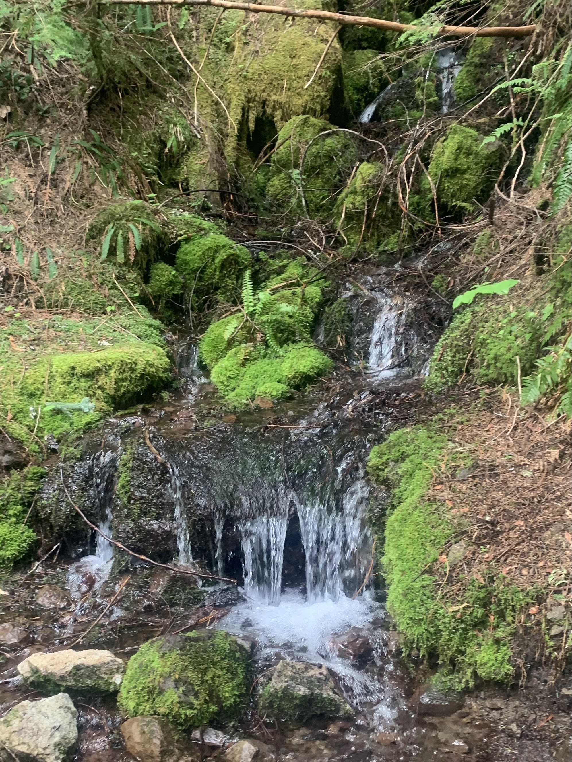 One of the streams with water still running.
 There were lots of huckleberry and other bushes along the trail.
 First view of Packwood Lake looking south
 View of Packwood Lake from the bridge over the outlet
 View from the bridge over the outlet looking downstream
  We continued around the east side of the lake, stopping for views along the trail at some empty campsites.
 There are some large trees here.
 another campsite view
 We crossed a few streams with lots of luscious greenery.