Sunday, June 30, 2013

Bandera Mountain & Mason Lake Hike Washington

On the west side of Snoqualmie Pass are the hikes to Bandera Mountain (5200 ft elevation) and Mason Lake.  We took in both hikes for a 10 mile hike with 3500 ft elevation gain.
The trail starts with a gentle climb through the forest and passes the falls.
 The trail continues to climb in the cool forest.
 At about 2.5 miles the trail divides, to the left a gentle climb to Mason Lake, to the right the steep climb up to Bandera Mountain. We headed up to Bandera, this section gains 1000 ft in one mile.
 Plenty of opportunity to pause and enjoy the views, Mt Rainier is seen to the south.
 At the top of the ridge there are some boulders to scramble over.
From the summit of Bandera, you can see the Olympic Mountains across Puget Sound to the west.
 The Cascade Mountains continue to the North, Mason Lake is seen below.
 More of Mount Rainier can be seen along with Mount Adams.
After enjoying our lunch and the views at the top of Bandera Mountain, we hike down the trail and took the side trip to Mason Lake. A great place to soak our feet and look up to to top of Bandera Mt.

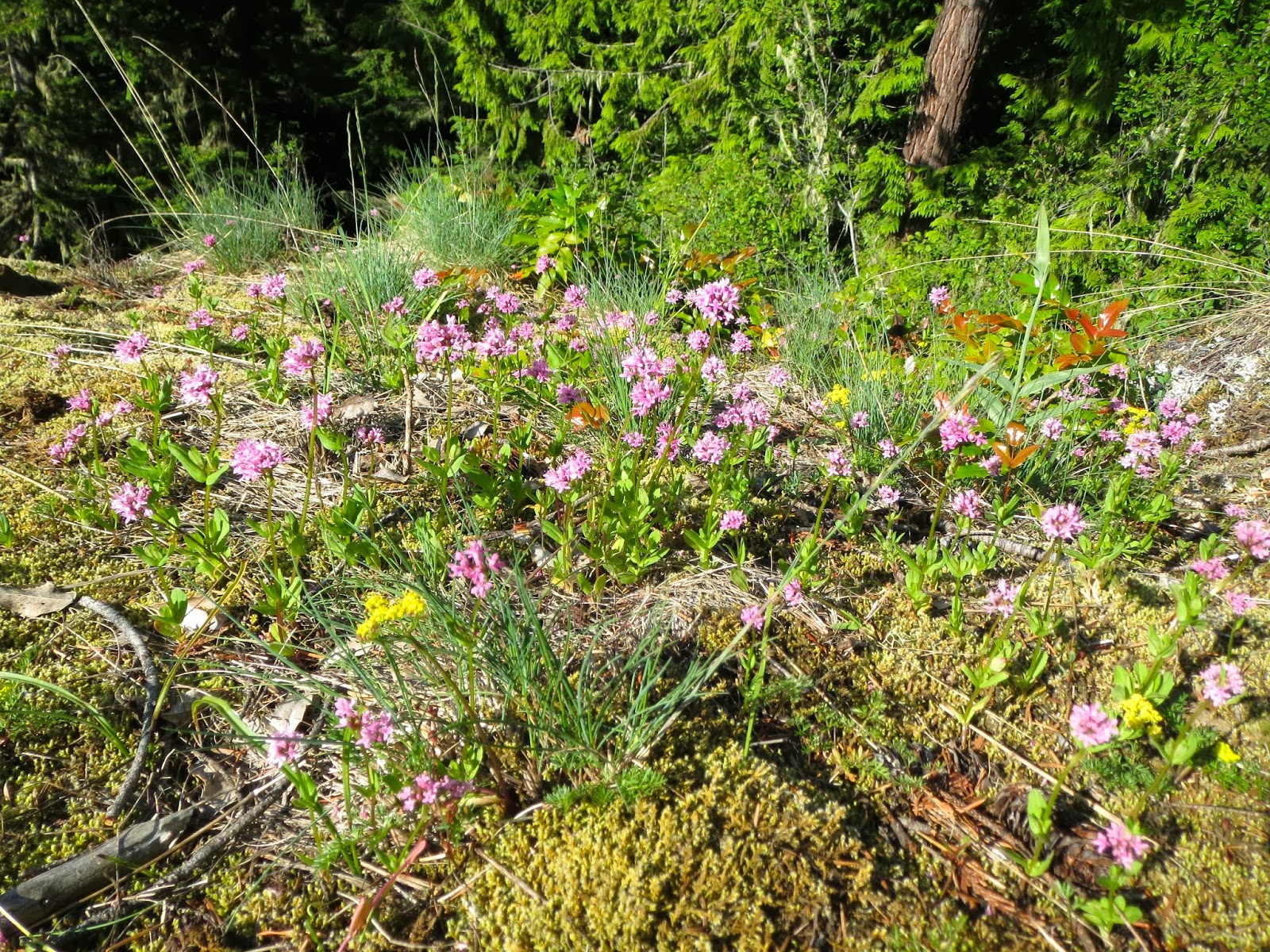
Lots of wildflowers along the hike.


Saturday, June 22, 2013

Mount Townsend Hike Washington

In early summer, we try to find hikes that have great views and are essentially snow free. 
Mt Townsend in the Olympic National Forest is 6280 ft high and has gorgeous views on clear days. The forecast was for partly cloudy skies, so we hoped for the best.
the hike is 8 miles round trip with 3000 ft elevation gain.
The first part of the hike is in the forest, where we met this deer on the trail.
 Switchbacks take you up the mountain, waterfall in the background.
 As we climbed up the mountain we crossed a few snow patches.
Mount Townsend is on the edge of the Buckhorn Wilderness.
At the summit, the views were limited, as a cloud settled on the mountain for the day. 
We did encounter some mountain goats as we were eating our lunch.
 They stayed at the top for over an hour.
 Great day for wildlife and wildflowers.


Saturday, June 15, 2013

Deer Ridge & Blue Mountain Hike in Olympic National Forest and National Park

The Deer Ridge Trail Head starts in the Olympic National Forest near Sequim.
We hike 13+ miles with an elevation gain of almost 3500 ft.
The trail starts in the forest with lots of rhododendrons in the first mile.

 After about 2.5 miles of hiking, you climb into an open area looking back East,
we could see Puget Sound and the Cascade mountains in the distance
 After entering Olympic National Park, the hike takes you along the south side of Deer Ridge 
with great views of the Olympic mountains.
 Deer at Deer Park
In the summer, when the snow has melted off the road, you can drive up here from the west side.
 From the campground at Deer Park there is a short 1/2 mile hike up Blue Mountain
In the distance to the North, lie the Strait of Juan de Fuca and Vancouver Island in Canada
 Beautiful views from the summit. Mt Baker across Puget Sound and the San Juan Islands
 a little further south, the North Cascades
 On our return trip, the trail yielded even more spectacular views of the Olympic mountains
We saw lots of wildflowers


Saturday, June 8, 2013

North Fork of the Skokomish River Hike

A beautiful low elevation hike in the Staircase area of Olympic National Park.
We hiked about 11.5 miles for the day. First up to Big Log camp 5.5 miles out on the east side of the North Fork of the Skokomish River. This only had 900 ft elevation gain. A pleasant walk in the forest with several log crossings over creeks.

 we enjoyed the small waterfalls on the creeks and the large cedar trees.

At 5 mile camp there were places to sit in the sun, eat lunch and watch the river.
 We hiked back along the same trail until we came to the new bridge crossing over the Skokomish River, and continued on the trail on the west side of the river (the Staircase Rapids hike).
I thought there were better views of the river on this side.


Saturday, June 1, 2013

Mount Teneriffe Loop Hike in Washington

This hike is in Washington Dept of Natural Resources land near North Bend
Best to hike in the late spring when most of the trail is snow free and Teneriffe Falls (aka Kamikaze Falls) is full of water. Our loop hike was 12 miles with an elevation gain of 3800 ft
The hike to the falls is 3 miles out with about 1400 ft elevation gain
The first mile is on the gentle Mount Teneriife Road
After about 20 switchbacks, you come to the base of the lower falls
At three miles you reach the upper Teneriffe Falls, best seen in the Spring snow melt
Then to the right of the falls, we followed the old Kamikaze trail up toward the peak
This steep portion of the trail climbs 2400 ft in 2 miles or less
There were some icy snow fields we crossed before we reached the top, 
but the views were worth the climb, even on this cloudy day.
Because my inexpensive poles malfunctioned, 
I was too nervous to return the way we came up,
 so we descended from the peak toward the logging road 
(this section was not as steep as the icy side we climbed up)
View of Mount Teneriffe in the distance along the Mount Teneriffe Road Trail.
The road is not pleasant to the joints. It is 7 miles long, less steep than the Kamikaze Trail and it bypasses Teneriffe Falls. Despite the pole malfunction, we had a great hike!