Drove up to Mt Rainier National Park to do two hikes. In the morning, parked at the west most Reflection Lake to hike the Pinnacle Peak Saddle Trail and head up to Plummer Peak and Denman Peak. I did about 4.5 miles with 1,700 ft overall elevation gain.
Before starting the hike, I took this photo of Mt Rainier at Reflection Lake
The trailhead is across the parking area from the west most Reflection Lake. The maintained trail ends at the Pinnacle Peak Saddle (about 1,070 ft of elevation gain), but there are several boot tracks up along the Tatoosh Ridge.
The lower section is forested, but there are several open areas to view Mt Rainier along the way.
In the upper section, the trail crosses several scree fields, where I heard pika chirping, saw a marmot run across the trail and had some rocks fall down the slope onto the trail.
Wide angle photo heading up towards the saddle: Pinnacle Peak, Plummer Peak and Denman Peak
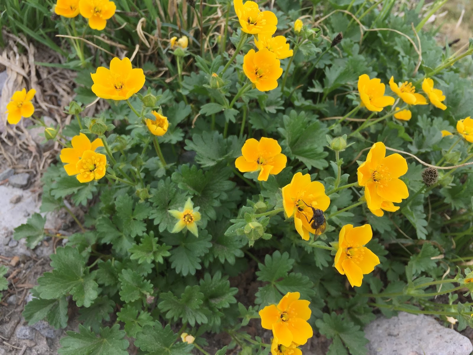
There were still wildflowers in bloom along the trail.
Pinnacle Peak Saddle in site, Plummer Peak to the right.
From the Pinnacle Peak Saddle looking north to Mt Rainier
Pano from the Pinnacle Peak Saddle looking to the south, very hazy to the far south making it difficult to see the Goat Rocks, Mt Adams and Mt St Helens today. Plummer Peak to the right

The boot track to Plummer Peak is to the right, it is well defined.
From Plummer Peak, looking down at the steepest section of this trail and across to Mt Rainier
Mt Rainier and to the right in the valley far below: Reflection Lake where the trail began
Pano from atop Plummer Peak looking west: Tatoosh, Wahpenayo, Eagle, Chutla, Lane and Denman Peaks in the Tatoosh Range
Pano from atop Plummer Peak looking east: Pinnacle, the Castle, Foss, Unicorn, Boundary and Stevens Peaks in the Tatoosh Range
From atop Plummer Peak looking down into the Butter Creek Research Natural Area.
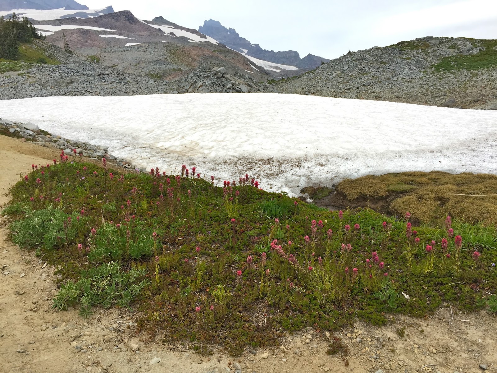
After descending Plummer Peak, I followed the boot track toward Denman Peak (which drops down an additional 200 ft before reaching Denman Peak). There were lupine in bloom here.
Trail approaching Denman Peak.
I wasn't sure if this was the only way up Denman, but decided I wasn't comfortable heading up this track on my own, so I hiked back to the trailhead, continuing to enjoy the views and flowers.
some of the other wildflowers and flora seen along the trail today:

 For my second hike today at Mt Rainier, I choose the Skyline Loop Trail starting from Paradise. I choose the Deadhorse Creek Trail on the way up to join the Skyline Loop. I think my hike this afternoon was 5.8 miles with about 1,700 ft of overall elevation gain.


 Back near the visitor center, I decided to soak in the views before the clouds completely obscured the mountain and heading home.