Thursday, March 31, 2016

Griff Creek and Madison Creek Falls Hike

 We drove out the parking area for Madison Creek Falls today to start our hike. We would walk 2 miles along the closed Elwha Road to the ranger station and the start of the Griff Creek Trail (5.6 miles round trip with 3,100 ft of elev gain). This can be a shorter hike: 3.6 miles rt with 1,500 ft elev gain to the 1st viewpoint or 4.6 miles rt with 2000 ft elev gain to the second viewpoint. There is also a boot track that goes beyond the "end of the trail" and I think some people may scramble up  to the very top. We went a little bit beyond the end of the trail today. And when we returned to the car, did the short 250 ft walk to Madison Creek Falls. Overall we hiked about 11.25 miles today.
 Above is the Elwha River from the parking area.
To the left is the closed road heading south to the Olympic Mountains and the Elwha Ranger Station.
View of the area where the road washed out. I hear they are hoping to have the road open by Memorial Day.


We had some nice views of the Elwha River along the road walk.


 After 2 miles of road walking, we walked behind the Ranger Station to the trail head. This is a very nice forest walk that goes up onto one of the foothills in the Olympics.

 View of Unicorn Peak.

Panorama view for the Rock Viewpoint. I think we are looking at Griff Peak, and Hurricane Hill and Hurricane Ridge in the far distance.

 Same area another 500 ft up at the second viewpoint area. I believe Lake Mills could be seen from here, before the dams were removed.

 We discovered there weren't any views at the "end of the trail", so
we followed a boot track a little further up the hill. I was not up for scrambling up the rocks to the left today, so we enjoyed our view in the shade during a lunch break.
Wide angle view from along the boot track. I believe we are looking at Griff Peak or Hurricane Hill 

 We saw a few deer bounding through the forest on our way down the trail, they were too fast to take a photo, but I was able to get a picture of these two back on the road.


Madison Creek Falls


Some of the flowers and plants we saw along the trail today:


Monday, March 28, 2016

Dosewallips River Hike

Drove out to the Dosewallips River Road to hike. This is located off of Hwy 101 along the Hood Canal at Brinnon. The "trail" begins where the Dosewallips River took a large chunk of the road out in 2002 at 9.8 miles along the Dosewallips River Road. However, there is also a stream going across the road at about 8.5 miles along the road. Medium to high clearance vehicles seem to have no trouble going over this washed out area, but everyone should decided for themselves. The driver I was with did not feel comfortable continuing, so we parked here and walked the additional mileage each way. From the further parking area it is about 5 miles to the Dosewallips campground with trails continuing much further into Olympic National Park. We did the short 1.5 mile Terrace Loop Trail before the trails divide. Overall hike today was 14.8 miles with a minimum of 1,060 elevation gain. Those who carried GPS had our overall up and down elevation gain at 1,800-2,000 ft.
 Above and to the left are photos of the stream crossing the road at the "newer" washout area.


Once pass this washout, the road is nice.

 This is where the road was washed out in 2002. And where the Dosewallips River Trail begins.
 There is a bypass trail that begins about 150 ft east of the washout on the north side of the road. It climbs up a couple of switchbacks before descending down to the other side and rejoins the old road.


There are several streams along the way, rushing to join the Dosewallips River.

 We passed some large rock cliffs along the way.


 After the road enters Olympic National Park, the Dosewallips River enters a tight channel for a series of beautiful cascades.
Some wide angle shots of these areas:


 Further upstream, the river bed widens and the river moves more sedately.
The Dosewallips Campground

 Dosewallips Ranger Station
 Log crossings that leads to the trails beyond the ranger station.
 This is a nice river trail, lots of beautiful trees, moss and ferns.


 Some more views of the Dosewallips River as we returned to the trailhead in the afternoon.


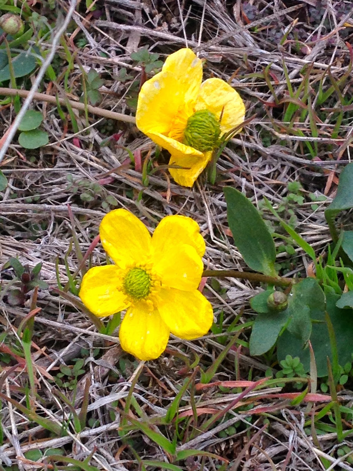
 Only saw a few wildflowers in bloom today.

Friday, March 25, 2016

Whiskey Dick Wildlife Area Spring Hike


We drove out to the Whiskey Dick Wildlife Area in Central Washington to go hiking today. This is Washington State land located between Kittitas and Vantage on the north side of I-90.  Between Feb 1 - April 30th, the roads are closed to motor vehicles to protect the wintering elk.  We parked at the first parking area to hike along the dirt roads. The way was blocked by barbed wire. There was a small opening on right side to duck through. We hiked for 11 miles with an overall gain of 1,500 ft  up and down the rolling hills


rThe road was a mixture of hard packed dirt, soft mud and dry mud.

Early on in the hike, we saw a herd of elk running over the hills.


Looking to the east, and hills we would hike up over and around.
About 1/2 through the hike we came to a fork in the road and choose to go to the right on the south side of these hills.


 More hills….


and another one…


There were interesting rocks with bright colored lichen,


 and petrified wood in the road,

 
 more petrified wood,


and more petrified wood.


We stopped walking along the road and followed an animal track up to the top of one of the hills. The Columbia River flowing past Vantage to the east.

 We found a large cairn on the hill top. Great spot to enjoy a lunch break and the views.
Pano to the east
 Pano to the west.

 To the far northwest, we saw the north Cascades,
 to the far southwest, snowcapped Goat Rocks.

 View of our trail back to the beginning.
Some of the wildflowers and plants we saw on our hike today: