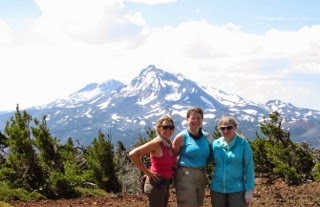
 Although the weather forecast was for mostly cloudy, we decided to head up to Mt Rainier to hike up to Summerland and Panhandle Gap in Mt Rainier National Park. We were rewarded with clear skies and great views in the morning. This is a 12 mile round trip hike with 2,950 ft of elevation gain along part of the Wonderland.
The trailhead is east of the White River Campground. The trail starts in the forest with a gentle incline for the first mile or so before climbing. There are a few openings where views of rocky ridges can be seen.
 There are couple of pretty forest streams.
About 3 miles from the trailhead, the trail crosses Fryingpan Creek on a log bridge.
Soon after crossing the creek, Mt Rainier appears in view. Soon a series of steep switchbacks take you up to Summerland
Summerland is about 4 miles and 2,100 ft of elevation gain from the trailhead.
Pano from the east side of Summerland: Mt Rainier and Goat Island Mountain.
After Summerland, the Wonderland continues to climb and rise, and the scenery becomes more rocky.
 We started to see some fall colors as we neared the snow fields, Panhandle Gap in the distance.
 Lots of interesting, rocky ridges along the trail.
Another view
By the time we reached Panhandle Gap it was covered in clouds and stayed that way while we were there.
 When we returned to Summerland, we saw many marmots.
 As we hiked out, the clouds were coming to cover Mt Rainier.


