Thursday, August 31, 2017

PCT through the Goat Rocks Wilderness

 I've been wanting to do this section of the PCT through the Goat Rock Wilderness since meeting hikers who were finishing it when I went to Shoe Lake a couple of years ago. I found a hiking friend who was willing to attempt 30 miles and 5,700 ft of elevation gain in a day with me. We camped at Walupt Lake and started off at 4:45 AM from our campsite using headlamps to go up the Nannie Ridge Trail. I was amazed at how many frogs/toads? were sitting on the trail. We also heard an owl hooting and flying overhead.


 We watched the sun rise as we hiked up Nannie Ridge. From Walupt Lake to the PCT is 4.6 miles with 1,800 ft of gain.


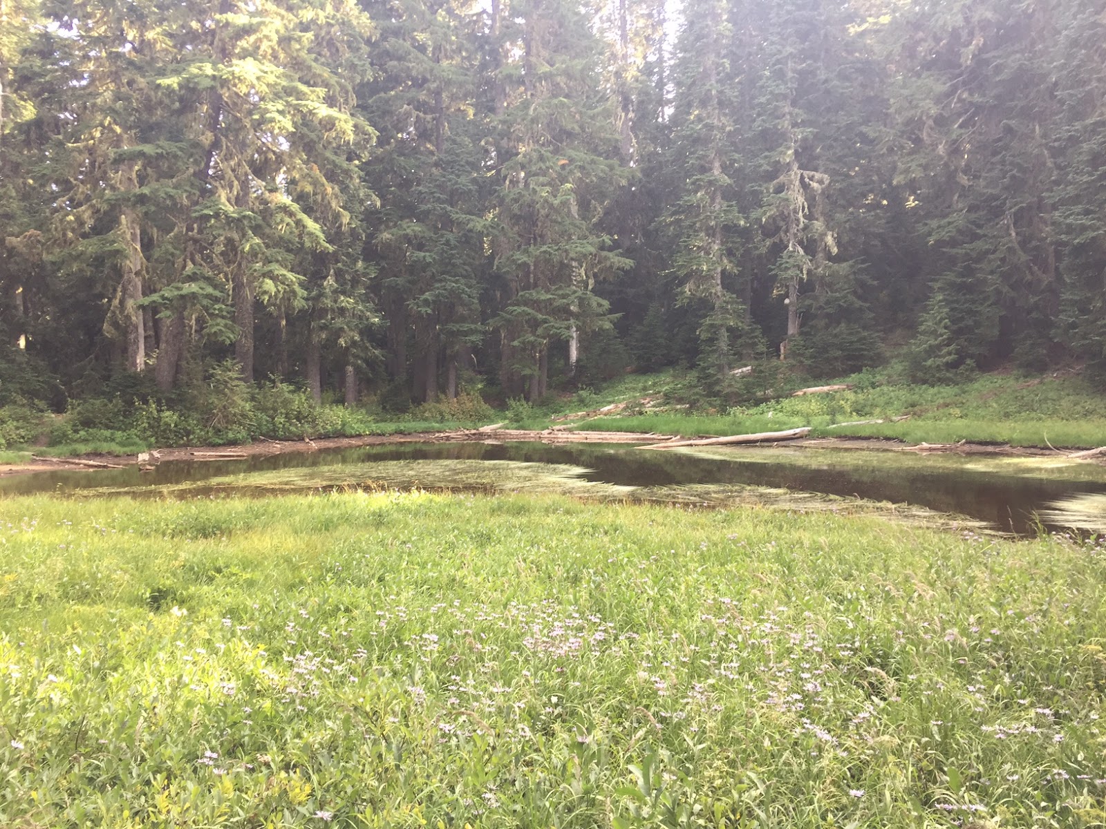
Morning reflection on a pond along the Nannie Ridge Trail

View of Mt Adams and Nannie Ridge on the way to Sheep Lake.

 Sheep Lake


Gentian
 We took a break when we reached the PCT.
Our next section was to Cispus Pass: 2.5 miles with 600 ft of gain.
 This was a nice section to stretch our legs and enjoy the views.


For 0.9 miles, the PCT crosses through the Yakima Indian Reservation, on the east side of the Goat Rocks.

 There were still wildflowers in bloom here.
Looking east down the Klickitat River Basin.
 From Cispus Pass, the PCT crosses back to the west side and then goes around the upper/east side of Cispus Basin. The trail drops 400 ft over 2.2 miles.
 There were fields and fields of Pasque flowers here,

 and a lovely waterfall.
 Looking back at Cispus Basin and Gilbert Peak (?)
The trail climbs 1,200 ft over 2.8 miles to the side of Old Snowy Mountain.
 Beautiful views of Mt Adams (and also of Mt St Helens) as the PCT travels high above Snowgrass Flat and Lily Basin.


Panorama to the west: Mt Adams, Mt St Helens, Goat Ridge, Hawkeye Point, Goat Lake and Mt Rainier.

Snow scoured landscape as the PCT traverses across the side of Old Snowy Mountain.
Hawkeye Point and the Cirque holding Goat Lake. When I hiked to Goat Lake last month, it was covered in ice.


We took the 0.4 mile horse route along the side of Old Snowy, instead of the old hikers route up onto of Old Snowy. We had 3 snow fields to traverse.
Love the views along this trail and the turquoise tarns.

 I thought this was the most difficult spot, coming off the northern most snow field the path was loose dirt that was difficult to get foot holds in.
 The Knife Edge: a gorgeous 1.5 mile section of trail between Old Snowy and Elk Pass, the trail drops and regains 200 ft.
 We took our time along this section, to both be careful with the loose dirt and rock on the trail as well as enjoying the views.
 To the east: the Devils Horns
 To the south our trail from Old Snowy Mountain


 to the north: our continuing trail to Elk Pass and Mt Rainier.
Such a fabulous trail!!!


Taking a break at Elk Pass, Egg Butte and Johnson Peak (?)  in the distance.
From Elk Pass to Tieton Pass is 4.8 miles with 1,800 ft loss (there are a few ups as well as downs along this section).
Looking back up towards Elk Pass.


 There were several streams with wildflowers in bloom as the trail travels to Lutz Lake.


 Views of Tieton Peak and the Devils Horns
 as the trail continued to descend we entered the forest for 4+ miles.
From Tieton Pass to the turn off to Hidden Springs is 2.8 miles with 700 ft of gain.

 We passed a couple of ponds along this section of trail.
From the Hidden Springs turnoff to the Shoe Lake trail is 0.8 miles with 500 ft of gain.


It was getting dark after we reached the Shoe Lake Trail. We stayed on the PCT and continued the rest of the hike out to White Pass with our headlamps.
The next section was 1.1 miles with 500 ft of gain. We saw Mt Rainier through the clouds before it got too dark. We weren't able to see Shoe Lake in the basin below the trail because of the darkness.
After Shoe Lake it was 6.4 miles to White Pass with 2,200 ft loss. The first 1.3 miles along the side of Hogback Mountain to the saddle was along a steep exposed slope, we were careful walking here. Then the trail enters a forested area, dropping down to the trailhead at White Pass. What a fabulous hike this was!!!


Tuesday, August 29, 2017

Grove of the Patriarchs

For my second hike on the east side of Mt Rainier National Park, I did the short 1 mile hike to the Grove of the Patriarchs. This hike along with the Silver Falls Loop Hike can be done together as there is a 1/2 mile trail connecting the two. (They are also connected to the Cowlitz Divide Trail and the Eastside Trail making lots of combinations of longer hiking possible.)
This hike is just west of the Stevens Canyon Entrance of Mt Rainier NP.
It goes through a mixed forest of conifers and vine maples along the west side of the Ohanapecosh River. Then the trail crosses a suspension bridge to an "island" in the Ohanapecosh River.
 This is one of the bounciest suspension bridges I have crossed.
The Ohanapecosh River is crystal clear. I saw some hikers cooling off in the water.
 On a hot day, it was refreshing to be hiking in the shade of these large trees.
 Roots of a fallen conifer.
 Some of these trees were too tall to get a photo to the top.
 The roots of another fallen conifer.


And the trail takes you back across the suspension bridge.

Silver Falls Loop Hike

 Had time on a road trip to stop and do a couple of short hikes on the east side of Mt Rainier National Park. First, I drove to the Ohanapecosh Campground to hike the 2.7 mile loop to Silver Falls ( with 350 ft of elevation gain). I did the short 0.5 mile hike to Silver Falls from Hwy 123 last year. So I wanted to do the longer loop this time.
The trail starts near the Visitor Center, I decided to hike it counterclockwise. The entire trail is in the forest and parallels the Ohanapecosh River.
 View of Silver Falls from the east side of the trail.
 Views from the bridge crossing the Ohanapecosh River.

Looking down the Ohanapecosh River from the bridge.
 A short distance on the west side of the trail after crossing the bridge there is an overlook of Silver Falls.

 The trail continues along the Ohanapecosh River above the falls for a short distance,
 before heading south through the forest back to the campground.
 There were some interesting rock formations on the west side of the trail.


There were some vine maples on the west side of the trail, this will be pretty in the fall when the leaves turn colors.