We drove to Leavenworth to get in a high elevation hike with very little snow on the east side of the Cascades this early in the summer. It was a tough hike. 12 mile round trip and 4,370 ft elevation gain. It was a good thing we were out on one of the longest days of the year, because it was slow going for us. Will worth the distance to drive and hike as the views and wildflowers were stunning! The trailhead is right off of Icicle Road about 9.5 miles from Hwy 2. We could see Mount Cashmere the entire hike.
The trail crosses Fourth of July Creek twice early on, and that is almost the only water available the entire hike. I carried 3 liters of water and drank all of it before the end of the hike. The hike starts climbing early on and keeps climbing for most of the hike. In the first 2 miles of the hike, you climb about 2,000 ft.
Photo to the right, as the trees open up we can see our destination, Icicle Ridge and a large rock formation that once held a fire lookout.
We would judge how high we were climbing, by where we were compared to Mount Cashmere across the valley.
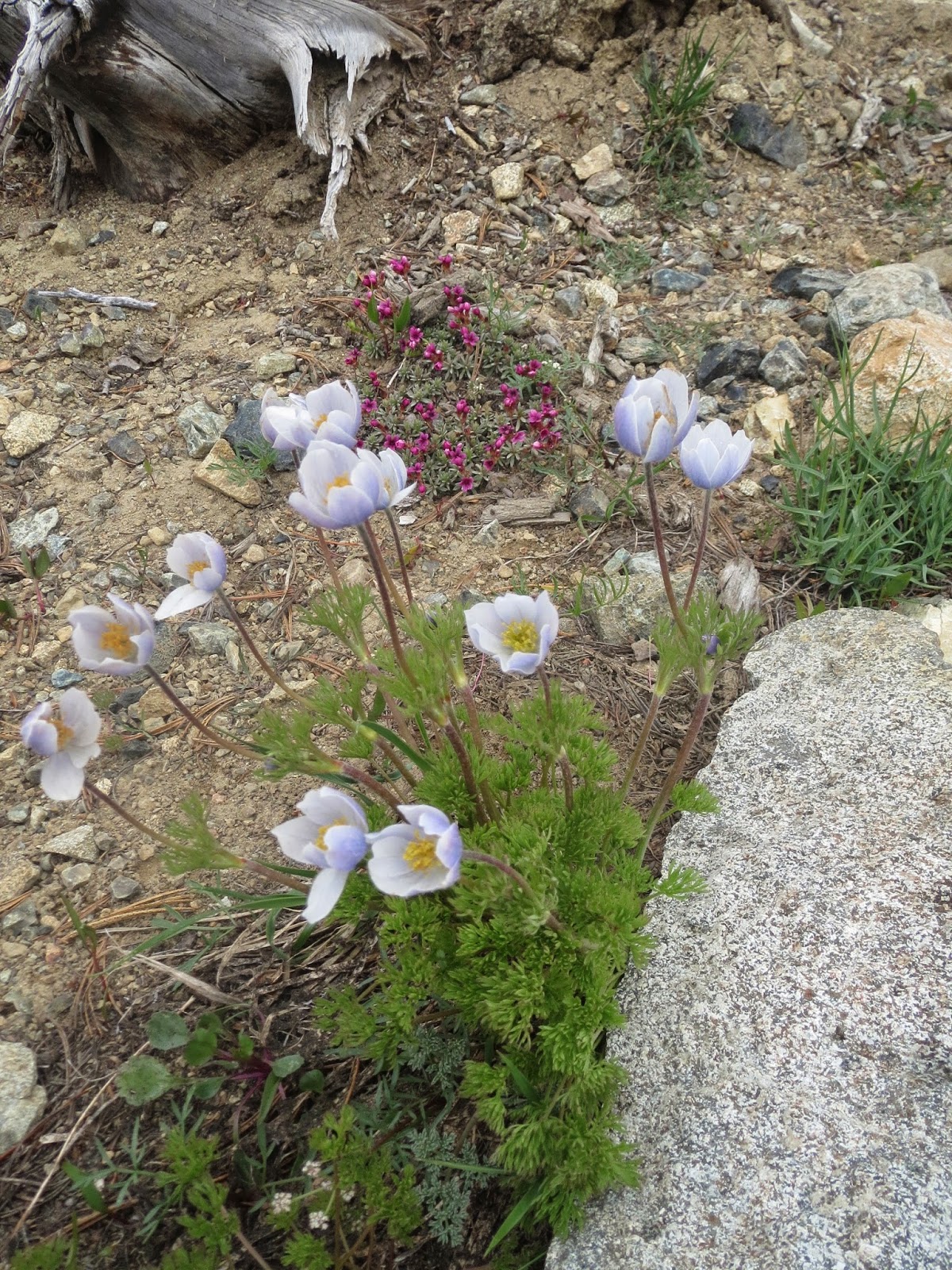
It was easy to stop and take lots of short breaks, photographing the numerous wildflowers along the trail. In the far distance, we could see waterfalls coming off the snow melt across the valley.
About 3.5 miles from the trail head, the trail takes a long traverse before resuming switchbacks. Here we could see the Stuart Range coming into view.
The trail continues through a burnt out section, our destination, the rock formation beginning to loom ahead.
As the trail goes through open meadows, we found a couple of streams from small springs or snow melt. It felt great to get our heads wet.

After 5.7 miles and 4,100 ft elevation, the trail reaches Icicle Ridge. Turn left and hike 0.2 miles to the next sign.
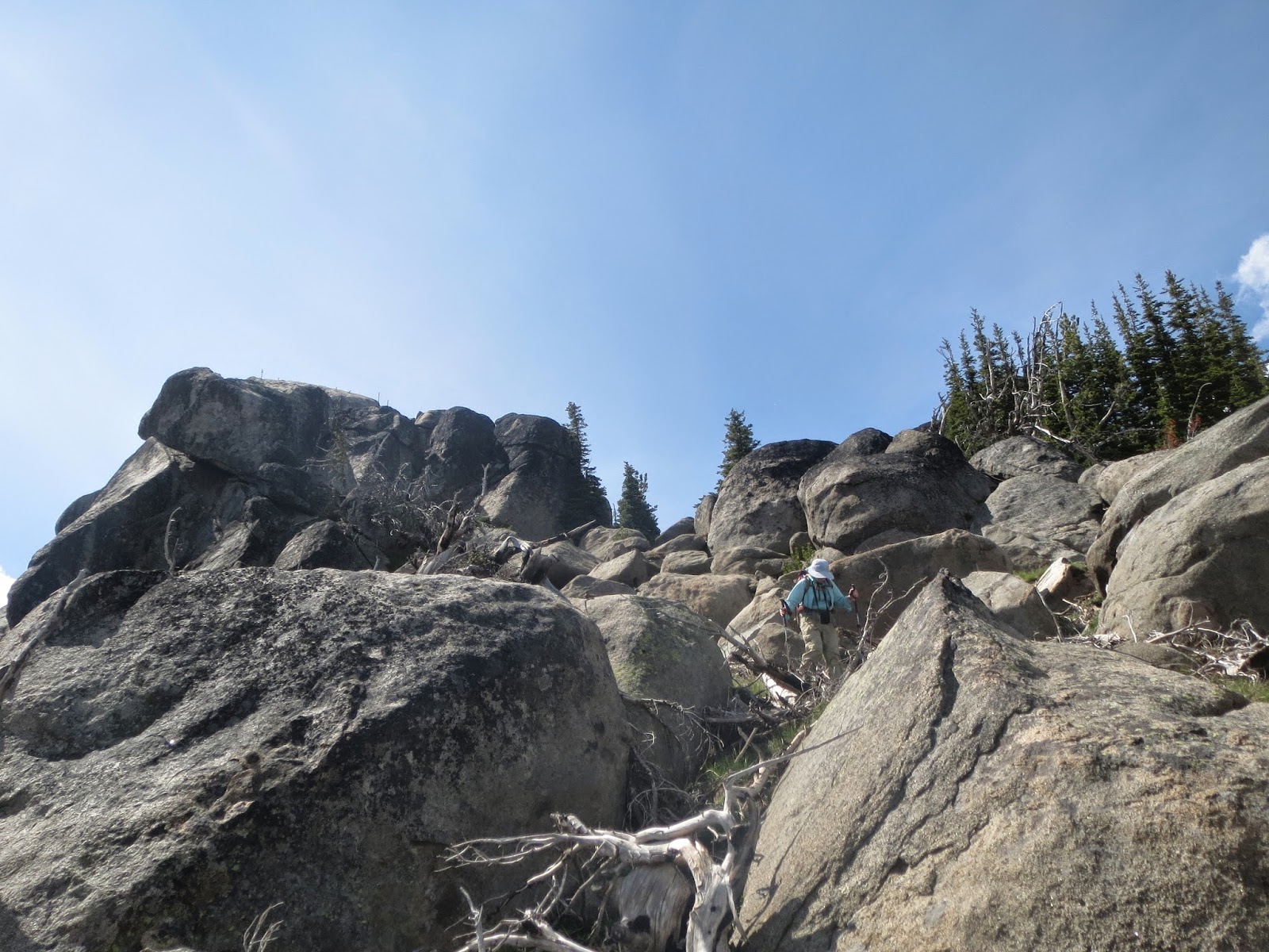
The sign points to the left, through a patch of snow to reach the old lookout site and the large rock formation.
There is a foot path for most of the way up the rocks.

This rocky ledge continues around the far side of the boulder. We sat here to eat our lunch and enjoy the views.
Next photo: looking across to Mount Cashmere and all the way down to Icicle Creek 4,370 ft below
Panorama looking south to west to northwest (Glacier Peak in far distance):

Panorama from Glacier Peak to the north to the east:
Some of the many wildflowers we saw today:


 There was some water on the trail, but we were able to keep our boots dry.