We headed east of Snoqualmie Pass to the Teanaways for a great conditioning hike with lots of wildflowers in June. We opted for the Stafford Creek Trail to Navaho Pass. This hike to Navaho Pass is an 11 mile round trip hike with 3,000 ft of elevation gain, once at the pass we headed up to Navaho Peak, an additional mile up with 1200 ft of elevation gain. Our total hike was 13 miles and 4,2000 ft of elevation gain. And there were lots of wildflowers to enjoy along the way. The first four miles are a mixture of gentle climb with a few switchbacks and a more moderate climb.
The trail follows along Stafford Creek for the first four miles.

There was some water on the trail, but we were able to keep our boots dry.

At four miles, the Stafford Creek trail joins the Standup Creek Trail. There is a nice area to sit by the creek here before the trail begins to climb a bit steeper on the way up to Navaho Pass.
Lots of wildflowers here near the creek.
About a mile further up the trail, there is a large field filled with wildflowers. Many backpackers set up camp here. From the meadow the trail climbs steeply up to the pass for 1/2 mile or so.
Photo on right, trail up to Navaho Pass, Navaho Peak seen in the far distance.
Getting closer to the pass.
From Navaho Pass, looking down on the trail through the upper meadows.
At Navaho Pass, the Enchantments in the background. We sat here to enjoy the views and our lunch before continuing the steeper climb up to Navaho Peak.
Panorama looking east to south to west from Navaho Pass
Panorama looking west to north to east from Navaho Pass
This side trail to Navaho Peak starts to climb steeply immediately.
Almost to the peak, we only had to cross one small snowfield, I was glad I had my poles.
We all made it to the top!
Panorama from Navaho Peak
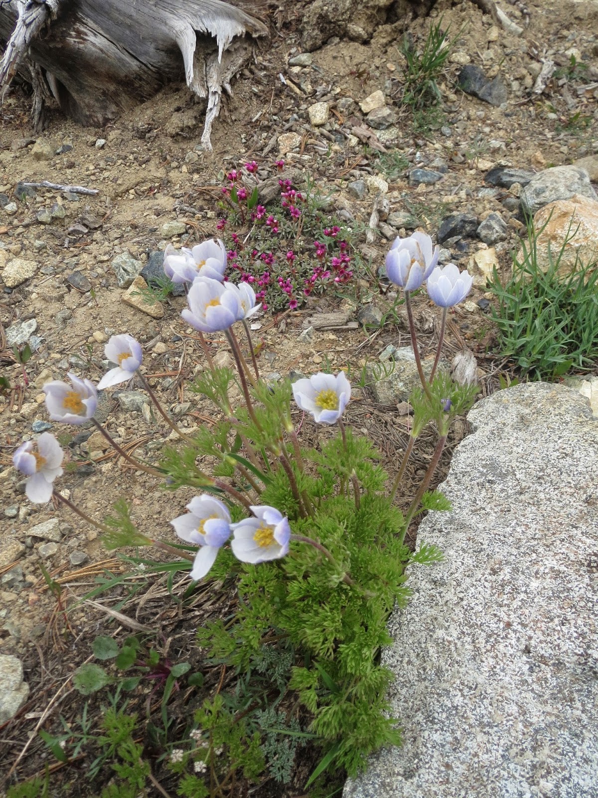
Some of the many wildflowers we saw today:


No comments:
Post a Comment