We drove out to the Many Glacier area of Glacier National Park to hike the Iceberg Lake Trail this morning. We parked in the main area (not at the trailhead in the campground), so we hiked about 10 miles round trip with 1,400 ft of gain.
The first 0.2 miles is very steep, but the trail gains elevation at a more gradual incline for the remainder of the hike.
The majority of this hike is out in the open, with views in every direction and many, many wildflowers in bloom.
I'm not sure which peaks are which, so I will just post lots of pictures (which do not do justice to the beauty and grandeur of this place)
Iceberg Lake is located around the corner to the left of the far ridge line of Ptarmigan Wall.
There are many creeks from the snow melting.
About 3 miles from the trailhead we had a glimpse of Ptarmigan Falls through the trees (probably the best view from along the trail).
Looking down from the top of Ptarmigan Falls
The trail continues over the bridge above Ptarmigan Creek
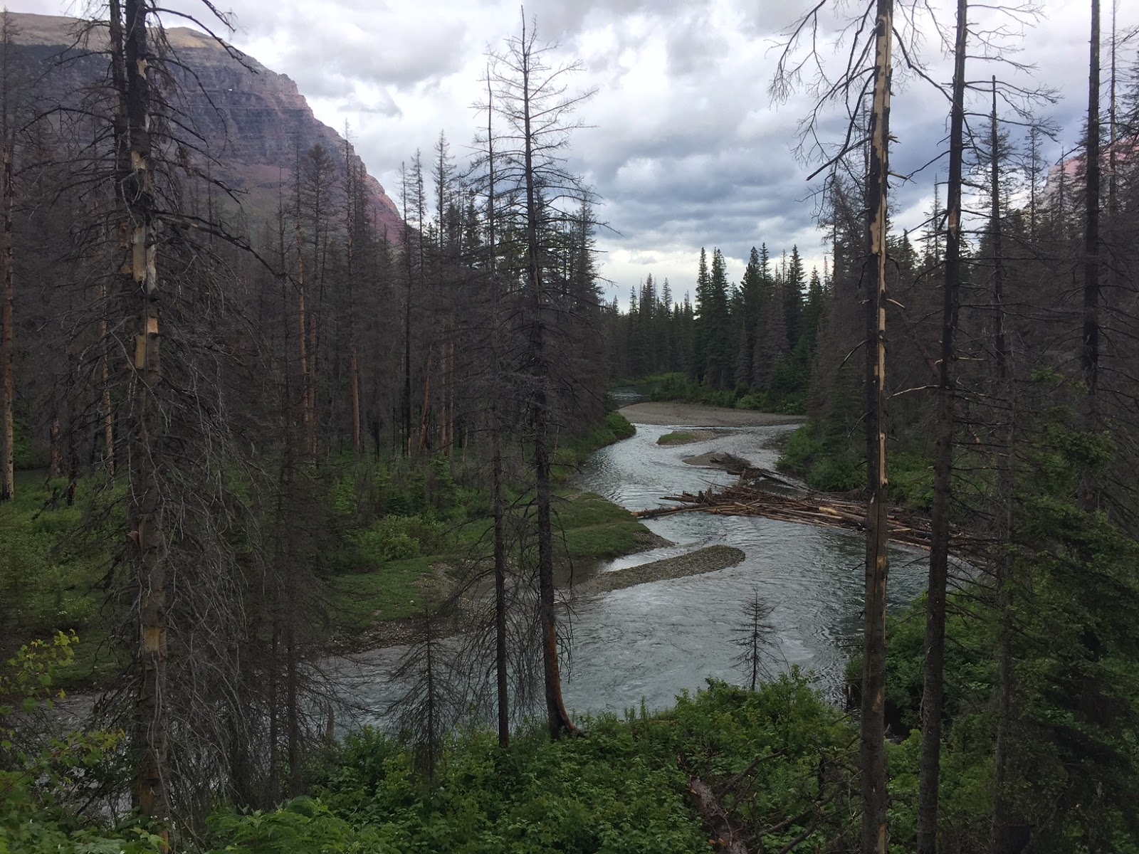
Upstream of Ptarmigan Creek from the bridge crossing
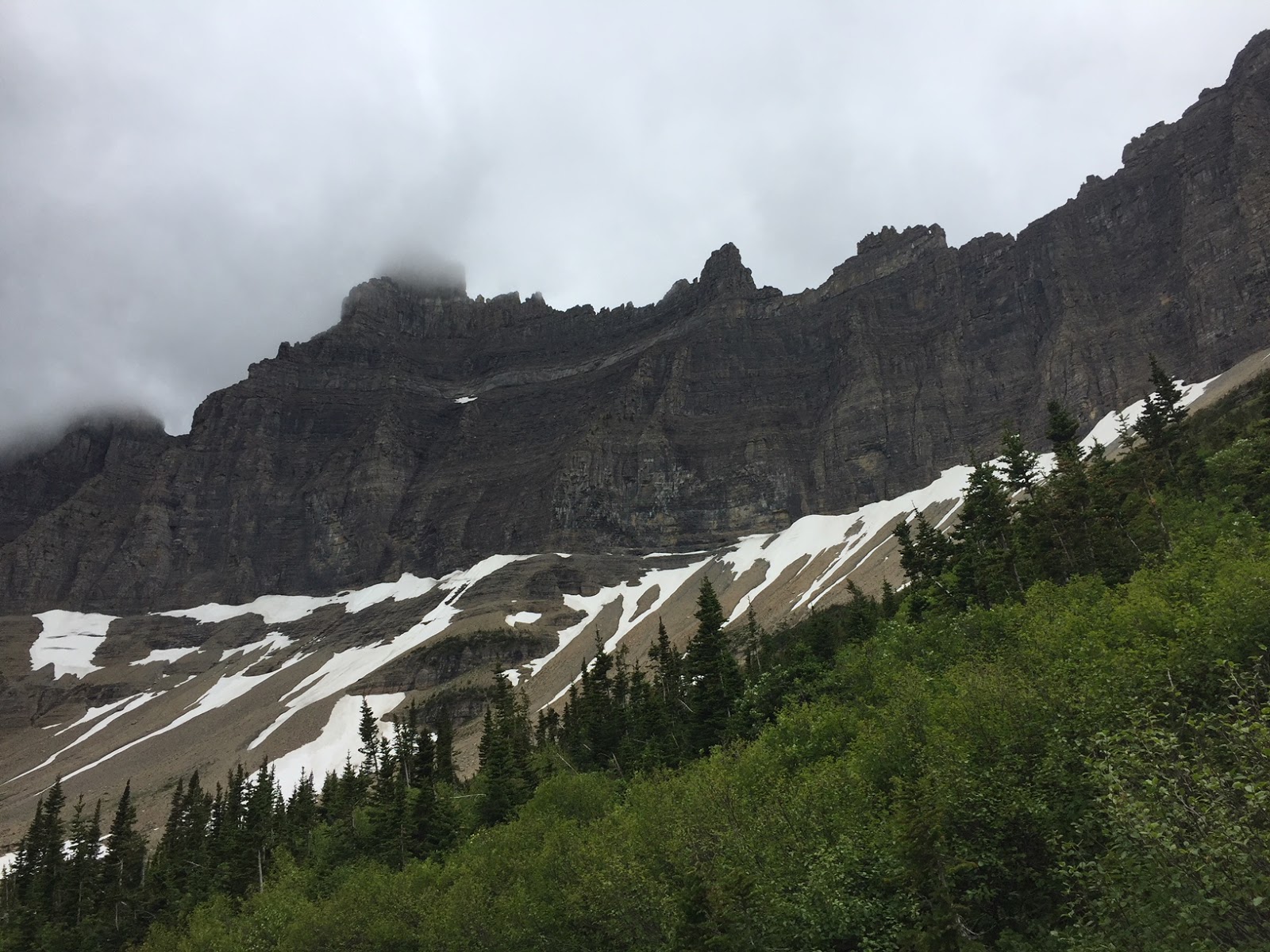
Iceberg Peak is obscured by clouds.
Continues views from here to the lake

A small lake at the foot of B-7 Pillar and Ptarmigan Wall
We had a couple of snow fields to cross as we neared Iceberg Lake.
Lots of glacier lilies in bloom
Icebergs floating in Iceberg Lake
(last week the lake was completely covered in ice. We were so blessed to see it partially melted)
Pano of Iceberg Lake, a wonderful spot for an early lunch break!
The views were a little better on our hike back down the trail.
We saw some mountain goats high up on Ptarmigan Wall near the high snow spot!
Wildflowers and views, a glorious day hike!
a few of the many wildflowers we saw in bloom along the trail today:


 Small ground squirrel pausing in the rain