We did the Angel and Covel Creek Falls Trail in Lewis County. We choose to start at the Burley Mt Trail off Forest Service Road 28.
We did 2.6 miles with an overall gain of 700 ft.
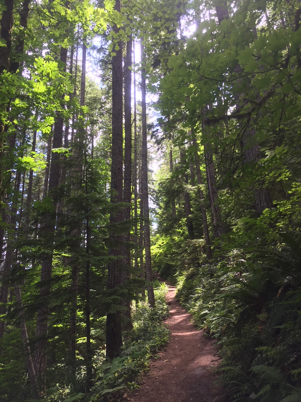
From the trailhead, the trail gains 400 ft in 0.5 mile where it comes to a junction of a loop. We choose to go counterclockwise on the loop.
The next 0.5 mile is fairly level (dropping 200 feet before reaching the falls), the trail travels along the base of a large rocky cliff.

There are several small "caves" at the base of these cliffs.
At the next trail junction, turn left 0.1 miles down to the base of Covel Creek Falls.
The trail travels behind these falls with a 75 ft drop.
View of Covel Creek Falls from the other side. This is a popular trail.
After Covel Creek Falls the trail ascends 300 ft in a series of switchbacks up to the next junction in 0.4 mile. At the junction, the trail to the right goes up to Burley Mt, and the trail to the left descends down to Angel Falls.
The trail drops 200 ft in 0.2 mile to reach Angel Falls

Angel Falls has a 150 ft drop
Cross the creek and continue 0.5 mile over a fairly level trail to the first trail junction.
Stay straight on the trail to return to the trailhead in 0.5 mile
There were a few wildflowers in bloom, here are some of the ones we saw:


No comments:
Post a Comment