Headed out to Johnston Ridge on the north side of Mt St Helens National Volcanic Monument to hike the Boundary #1 Trail out to Harry's Ridge and up to St Helens Lake through the rock arch.
We did about 11 miles round trip and 1,900 ft of overall elevation gain.
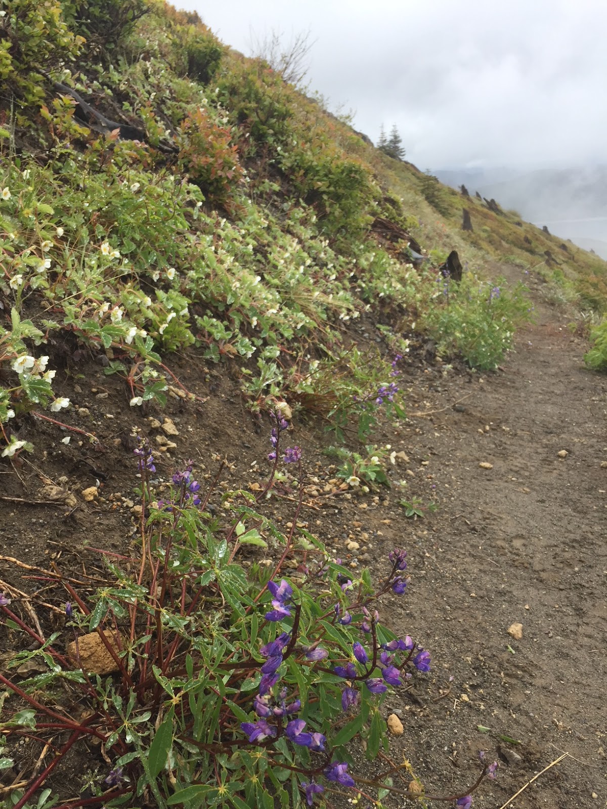
It was very cloudy when we arrived, but we were happy to see the wildflowers in bloom.
Very limited visibility in the morning, but we were nice and cool on this exposed trail today.
There was lots of morning dew
As Harry's Ridge was covered in clouds, we decided to head up to St Helens Lake first. We had 3 snow fields to cross along the trail.
Fortunately the trail goes up and around this snow field on an exposed slope
First views of St Helens lake was very cloudy.
I attempted to cross this snow field, but was not comfortable with how exposed and steep this slope was.
We followed a boot track that took us up and around this snow field.
The large rock on the left is the side view of the rock arch.
The trail goes up and through the rock arch.
View of St Helens Lake from the other side of the rock arch, we only saw a couple of beargrass in bloom.
We continued along the trail above St Helens Lake: pano view
We had thought of continuing on to Coldwater Peak, but with thick clouds hanging over the peak and what appeared to be a couple of snow fields over the trail, we decided to head back down to Harry's Ridge.
The way the clouds moved around, we weren't sure if we would see much of Spirit Lake.
Clouds beginning to lift off of Spirit Lake
We saw lots of strawberry blossoms all along the trail today. There should be lots of strawberries in a couple of weeks
First view of Harry's Ridge as we approached it on the way down from St Helens Lake
By the time we were up on Harry's Ridge, the clouds were high enough for a great view of Spirit Lake.
We enjoyed a break up on Harry's Ridge, this was as high as the clouds went up Mt St Helens.
We were able to see Loowit Falls and the bottom of the crater edge, across the Pumice Plains.
For a short time, the clouds lifted enough for us to see Mt Margaret.
Clouds lifted a bit more on Mt St Helens as we returned along the Boundary Trail.
The east side of the Devil's Elbow Trail is open, but the west side of the trail is temporarily closed.
Our best view of Mt St Helens today.
Back near the parking lot, we could see the rock arch high as a tiny hole up on the ridge across the way.
Some of the wildflowers we saw in bloom along the trail today:


No comments:
Post a Comment