This morning we saw the sky was still clear around Mt Rainier. Even though the forecast was for clouds and rain moving in by late morning, we decided to hike out to the 3 peaks of Burroughs Mountain, starting at the Sunrise parking lot in Mt Rainier National Park. The loop hike we choose to do today is about 9.5 miles with 2,600 ft elevation gain (lots of ups and downs).
We decided to start hiking to First Burroughs via the Sunrise Rim Trail, this way we would have some of my favorite views of Mt Rainier in front of us while we hiked. This section of the trail also has lots of wildflower.
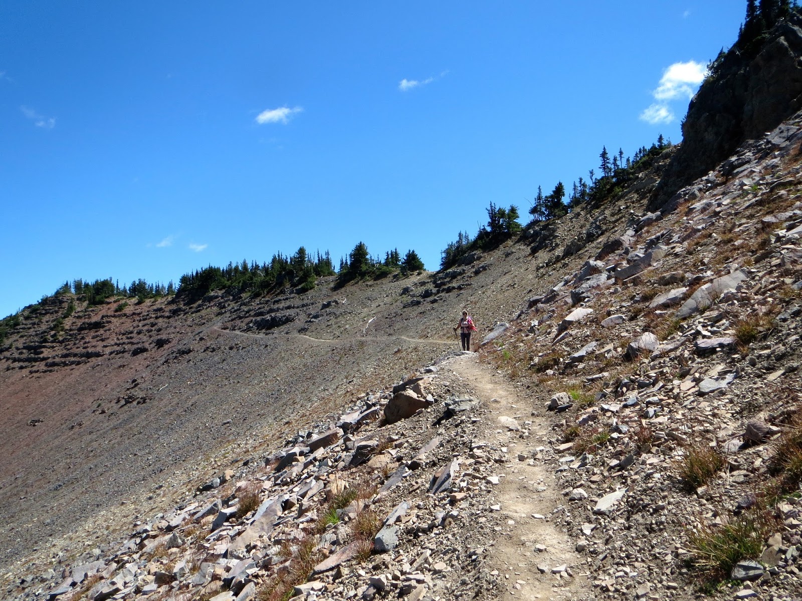
Early in our hike there were only a few small clouds near the summit.
We took a short side trail off of the Sunrise Rim Trail to hike around the south edge of Shadow Lake.

Leaving Shadow Lake, the trail starts to climb on its way to the Emmons Overlook.

From the Emmons Overlook, the trail continues to climb up towards First Burroughs, with Mt Rainier nearly always in view.
This section of the trail is 2,000 ft above Glacier Basin, offering wonderful panoramic views!
Continuing to hike toward First Burroughs, Second Burroughs is seen to the right of Mt Rainier

A chipmunk enjoying the views as the clouds continue to roll in over Mt Rainier.
Nearing the top of First Burroughs:
View from the top of First Burroughs (7,106 ft), looking toward Second Burroughs (our next destination only 1.1 miles away.

We only stopped on top of Second Burroughs (7,402 ft) long enough to get our photo taken. The views here are fabulous and it is only 3 or 3.5 miles from Sunrise, depending on which way you hike to it.
Wide angle shot from Second Burroughs: to the right the saddle between Second and Third Burroughs and Third Burroughs our next destination, about a mile away.

Hiking down from Second Burroughs towards Third Burroughs.

There were lots of wildflowers in bloom, even at this high altitude.

Hiking up Third Burroughs, Second Burroughs is behind us (looking east).
On the way up Third Burroughs, we saw this mom and baby mountain goat.

Almost to the top of Third Burroughs, the clouds are descending over the summit, but we can still see most of the glaciers and Little Tahoma Peak. Below Little Tahoma Peak lies Emmons Glacier, Inter Glacier lies in Steamboat Prow, and to the right is Winthrop Glacier.
On the top of Third Burroughs (7,828 ft). We were here for quite a while by ourselves.
Panorama from the top of Third Burroughs looking south:
Panorama from the top of Third Burroughs looking north:

While we were admiring the views and taking photos of flowers atop of Third Burroughs, a nice young man from Illinois hiked up and took our photo. By this time, most of Mt Rainier was covered in clouds.
Between the clouds, we had views of the crevasses on Emmons Glacier and

of the crevasses on Winthrop Glacier, which extends far down the mountain, these were seen below us as we stood on Third Burroughs.
By the time we started our hike back toward Second Burroughs, Mt Rainier was hidden in the clouds and we were hiking in a cloud.
There was a herd of 15 mountain goats on the saddle between Second and Third Burroughs.
when we reached the top of Second Burroughs, Mt Rainier was completely hidden in the clouds.

We chose to return to Sunrise by taking the other trail off of First Burroughs toward Frozen Lake, then the Sourdough Ridge Trail. As we were descending from First Burroughs we saw another herd of mountain goats in the distance at the base of Mount Fremont.

View from the Sourdough Ridge Trail looking down on Shadow Lake.
We saw lots of wildflowers down the side of the trail.
As the trail neared Sunrise, there were several overlooks of Huckleberry Basin to the north.

We had a great hike today!
Some of the many wildflowers and plants we saw on the trail today: