This morning we drove out to the small parking area in front of Canyon Vista Campground, near Flagstaff, to hike to Fisher Point via Sandy's Canyon. Overall, we hiked 7 miles round trip with 280 ft loss/gain. We later saw there is a new, larger parking area about 0.5 mile away (closer to Fisher Point).
 Part of our trail was also on the Arizona Trail.
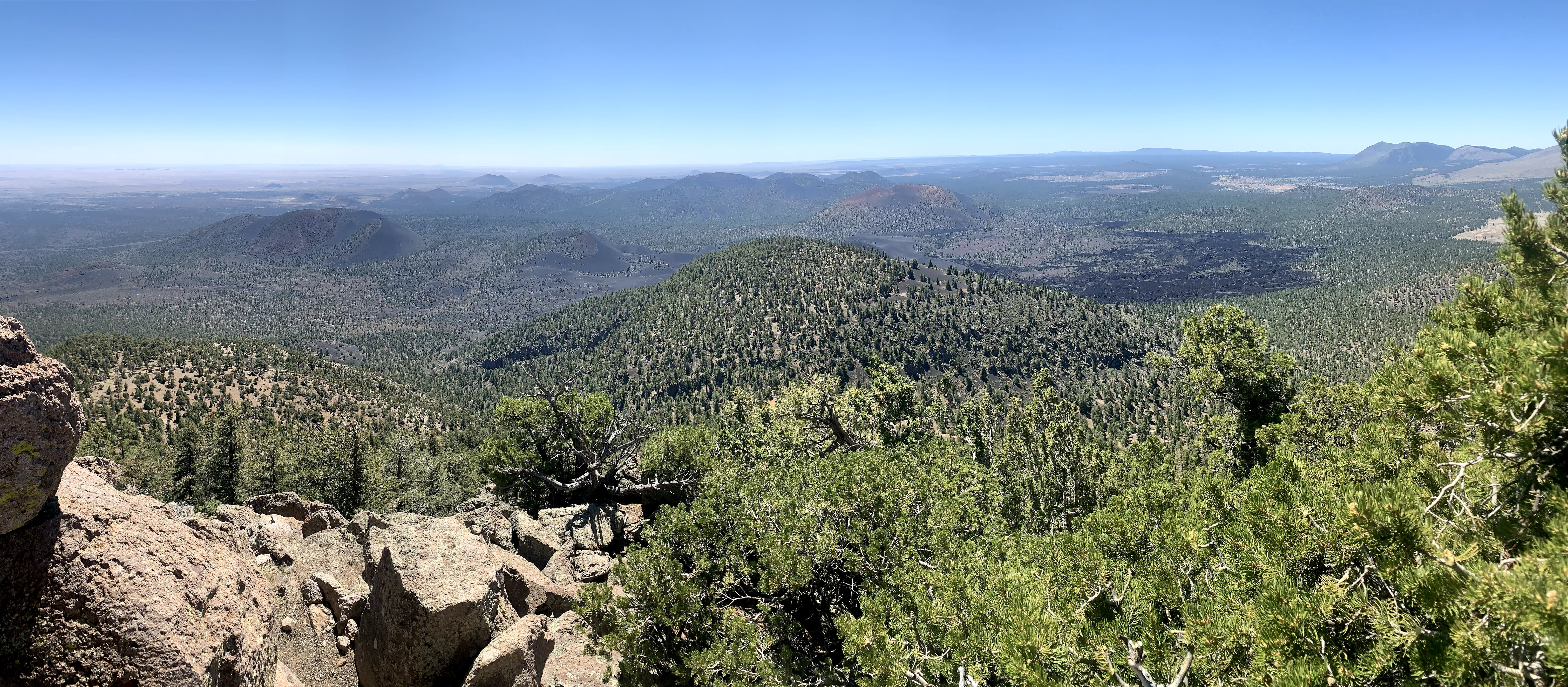
 View over looking Sandy's Canyon, the San Francisco Peaks in the far distance.
 We had an early start to beat the heat, the moon was still up in the sky.
 Large boulder along the trail.
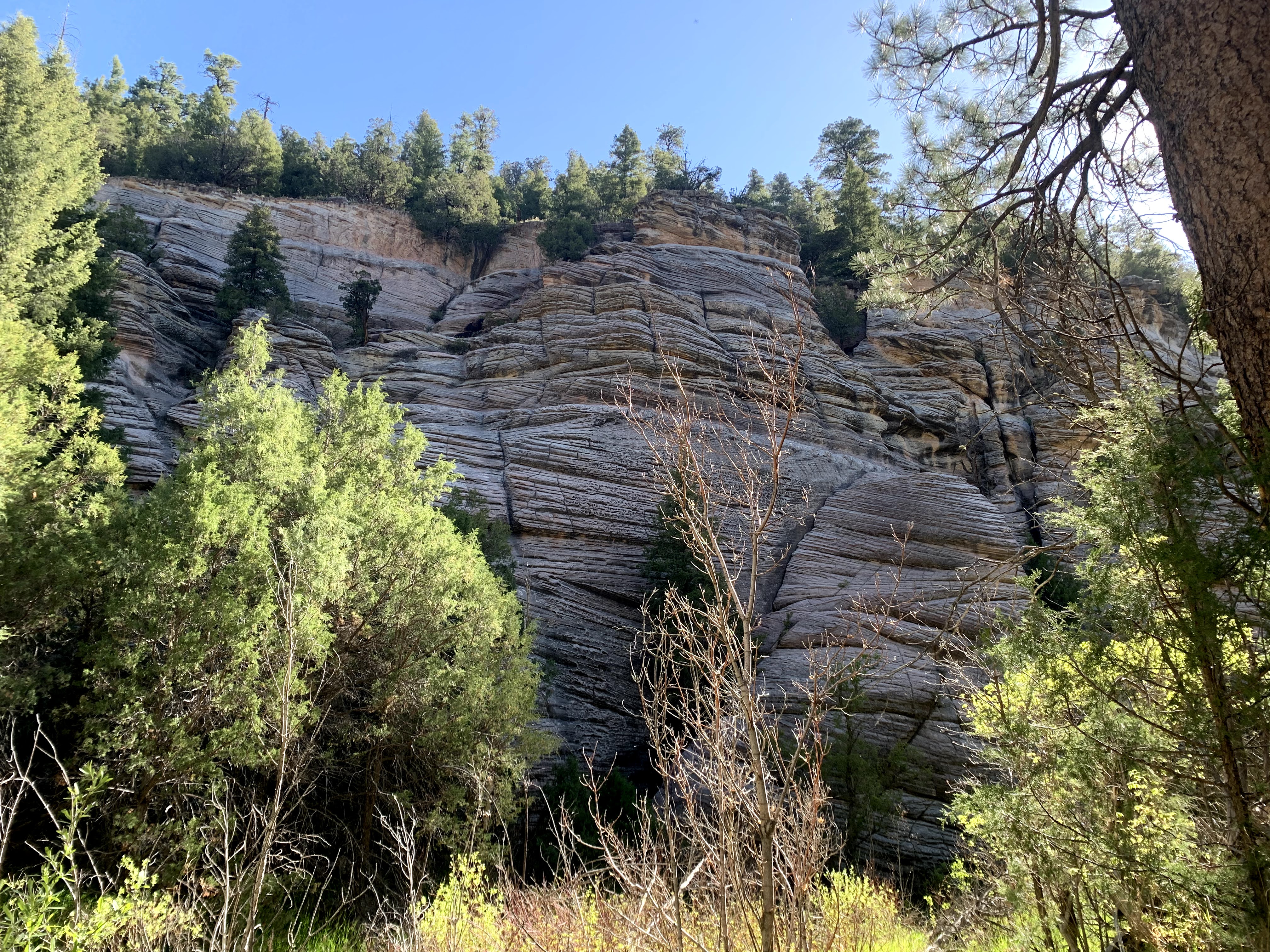
 Lovely rock formations as part of the canyon wall as we got closer to Fisher Point.
 small cave at the base of Fisher Point
 Beyond Fisher Point, we continued along this part of Walnut Canyon for about 0.75 mile
 a niche in the canyon wall
 inside the niche, it looks like a fire ring has been built
 Further along we found a larger cave.
 The cave narrowed inside,
 and narrowed even further, a thin person could fit, but I could not.
 Looking our from the front of the cave.
More interesting rock formations along the canyon walls as we continued hiking up the canyon.


 walnut trees in the canyon
 back at Fisher Point
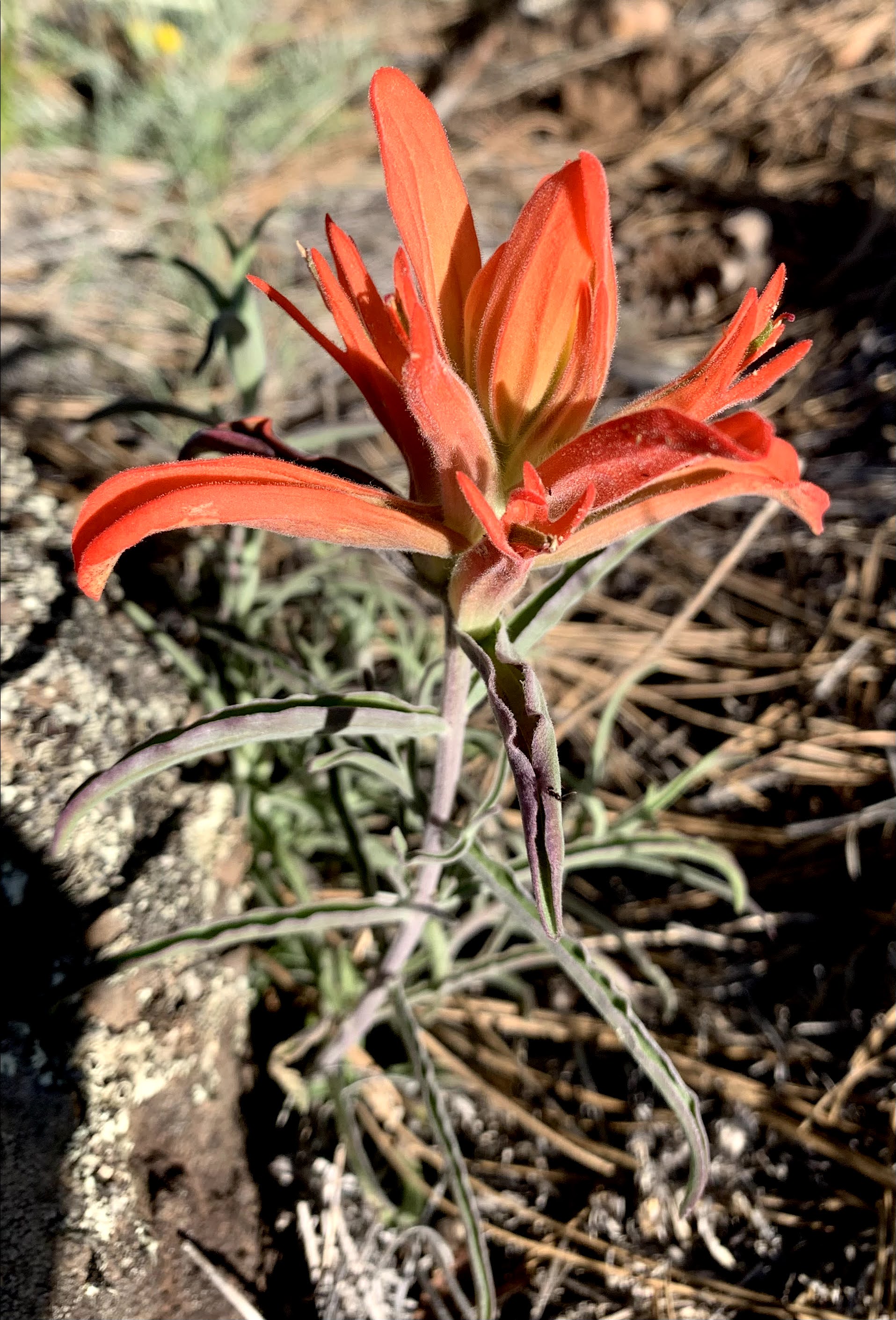
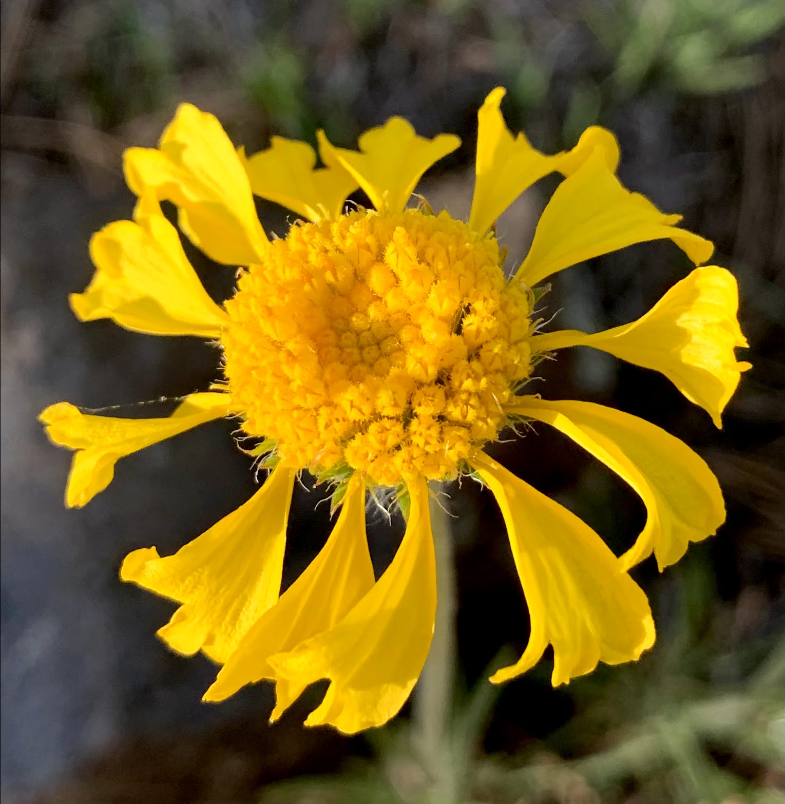
some of the wildflowers we saw along the trail today: