Headed out to hike up Mount Rose today, had a great view of the southern Olympics across Hood Canal on the drive out this morning. Mount Rose is the short on to the far left.
We planned to hike up to the summit and back, forgoing the loop for a 5.8 mile hike with 3,500 ft elevation gain, but in the snow the trail can be very different, particularly when following other people's tracks. We ended up doing some bushwhacking and coming out on the far end of the loop trail. With back tracking and wandering, our gps said 8 miles. It was a fun adventure on a beautiful day!

The trailhead is located on a short turn off on FSR#24, before reaching the Staircase area of Olympic National Park, right off of Lake Cushman. The trail from the parking area to the trailhead is nice, wide, flat and very short.
We crossed a bridge and watched the water flowing down in rapid cascades.
Once on the trail, it goes up and up and up through the forest.
There are lots of beautiful trees. At 1.1 miles, the trail enters the Mount Skokomish Wilderness after gaining 1,200 ft.
I hadn't noticed on previous trips up here, that on a clear day, you could see Mt St Helens from the second bench area.
The trail gains another 950 ft in elevation over 0.7 miles to reach the junction of the summit/ridge loop trails. We opted to go clockwise, as that is usually the most frequented route in the winter. This way the summit is reached in another 1.1 miles with and additional 1,250 ft of elevation gain.
Shortly after the junction, we began to see snow. It became deeper the higher we hiked. The snow was fresh and soft enough we did not need to use microspikes.
I did not find orange tape on branches marking the way as in previous years. Perhaps the tracks we followed up today, choose a different route?!?!?!?
Here we could see Mt Rainier through the trees across Hood Canal and Puget Sound.
Further up, we saw Mt Ellinor between the trees.
There was quite a bit of new snow near the summit, but we were following a nicely packed track and did not need to use our snowshoes.
We found a ridge line that seemed to go down in all directions. I did not find the "summit" sign or nearby rocky outcroppings. I think the tracks we followed may have taken us up to the Summit/Ridge Loop to the east of the summit.
From this ridge line, we had Mt Ellinor peeking out to the east,

and a slight forested rise to the west. I walked toward this rise, but the snow was very deep here and we would have needed to go down and then up again. We were happy with our location, so we sat, ate our lunch and enjoyed the views.
From here, we could across Lake Cushman, Hood Canal and Puget Sound to see Mt Rainier, Mt Adams and Mt St Helens.
zoom of Mt Rainier
zoom of Mt Adams
zoom of Mt St Helens
Panoramic view from our lunch spot
Another view of Mt Rainier as we headed back down Mt Rose.
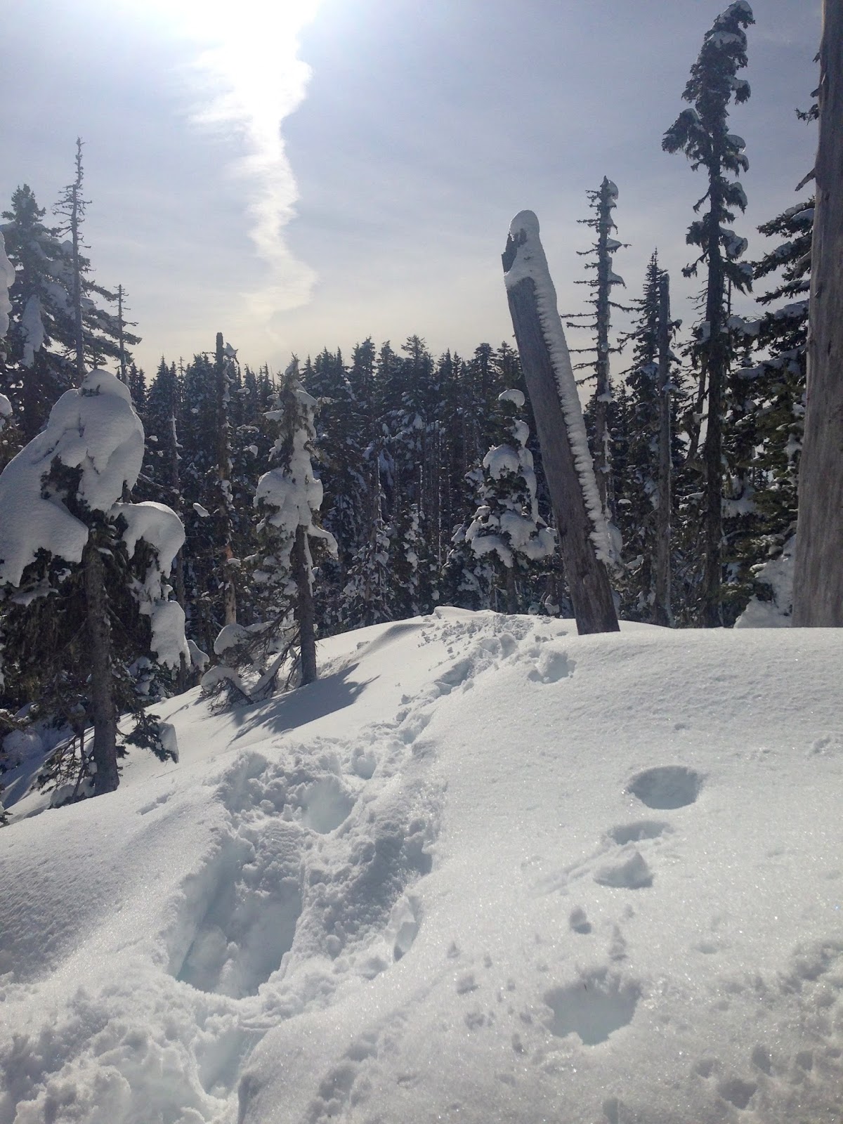
Somehow, we lost our tracks from the way up. We decided to bushwhack towards the east, staying away from the steep slope down. I knew we would join up with one end of the loop trail or the other. Because we were crossing fresh snow, we put our snowshoes on.
Eventually, we found the east side of the loop trail, with lots of well marked orange triangles to lead us back down!
On this side of the loop, there are a couple of log crossings with water pouring down.
some fun icicles
another creek crossing
We had a great workout today!!!


 From a view point, looking back down the trail we ascended. About 600 ft in less than 0.5 miles


