
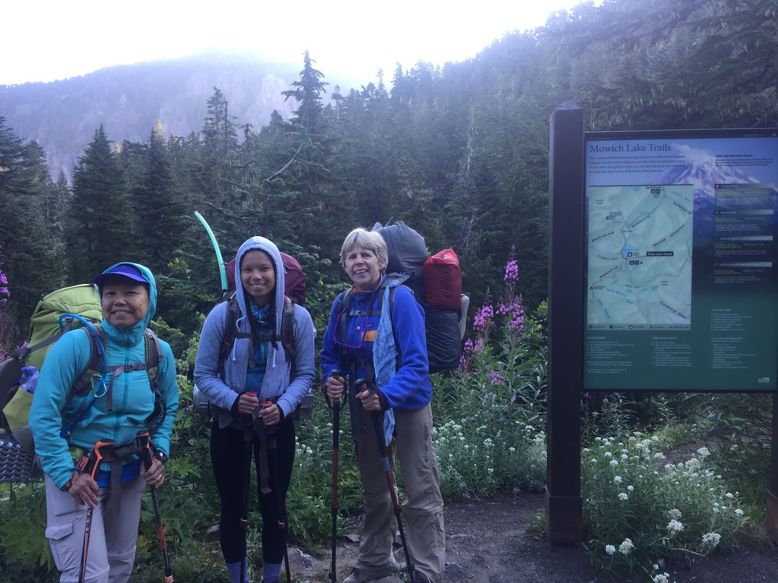
 We did a fun 3 day backpacking trip making a loop from Mowich Lake over Ipsut Pass to the Carbon River and back up Cataract Valley and through Spray Park to return to Mowich Lake. We added in a day hike to Mystic Lake and back. Overall 26 miles and 7,500 ft of elevation gain.
Day 1: We hiked 8.2 miles from Mowich Lake over Ipust Pass (100 ft loss/gain), down 2,500 ft to Carbon River, then 800 ft gain up the Carbon River to Carbon River Camp.

Pano of Mowich Lake from the southeast shore

 We hiked 0.5 mile around the west side of Mowich Lake to begin our hike on a portion of the Wonderland Trail (clockwise).
 View from Ipsut Pass. The trail descends 2,700 ft on the way to the Carbon River (3.6 miles). The majority of the descent is in the first 1-1/2 miles!


 We reached the bottom of this section of the trail to find an outdated sign as a section of Wonderland Trail has been washed out on the west side, and we had a bit more milage by crossing the Carbon River and continue along on the east side of the Carbon River before crossing back over to reach camp.

We crossed the Carbon River over the lower crossing. Very happy that the log bridge was in over the Carbon River.

A hazy view of Mt Rainier in the far distance.

 Another lovely section of the trail on our way up the Carbon River to the suspension bridge, 500 ft of elevation gain over 1.1 miles in the forest.
We found nice signage at all the trail junctions.

 Carbon River Suspension Bridge is 200 ft long and quite bouncy. We crossed one person at a time as is suggested.
 View of the Carbon River and the snout of the Carbon Glacier from the suspension bridge.
From the west side of the suspension bridge it was a short distance to the side trail to Carbon River Camp.

A log bridge over Cataract Creek took us to Carbon River Camp where we stayed for two nights.
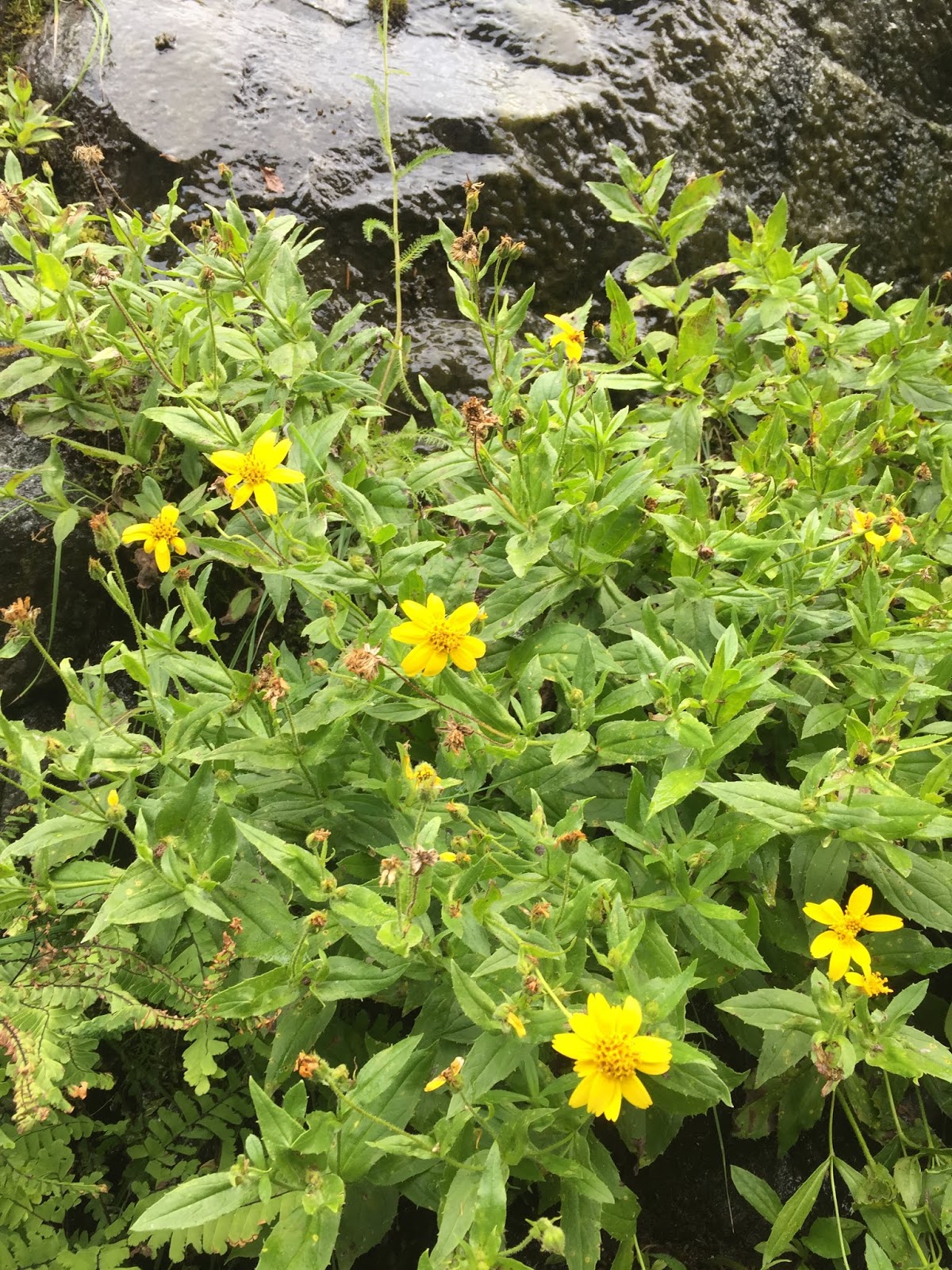
some of the wildflowers and fungi we saw on the first day:


 Day 2: We left most of our gear at camp, and took a 9.5 mile round trip day hike to Mystic Lake with 3,200 ft of overall gain.
We started the hike by recrossing the Carbon River Suspension Bridge,
 and continued on the Wonderland Trail heading southeast (clockwise)

sign warning to stay on the trail and not to get close to the glacier.

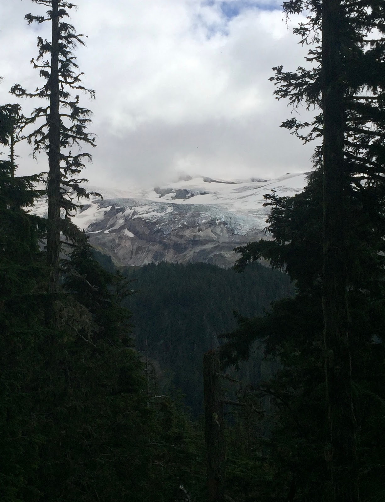
The Carbon Glacier is the largest glacier by volume in the lower 48 states at 5.7 miles long and 700 ft thick.
Wide angel view of the lower end of the Carbon Glacier as seen a bit further up the trail.


The trail goes along the edge of the Northern Crags, where we had great views of the Carbon Glacier.

After crossing the large scree field, and reentering the forest, we found a sign marking where the Wonderland Trail had been washed out and closed. I am grateful to the workers who built this newer section of the trail!

After one mile and 900 ft of elevation gain, we reached Dick Creek, a good place to get water.

There was a rope to assist hikers going up the other side of Dick Creek.

 View across the Carbon Valley looking back toward Cataract Valley and Mother Mountain in the distance.
A lovely cascading stream along the trail.

A series of switchbacks lead up from Dick Creek to a crossing of Moraine Creek in a gain of 900 ft in about 1/2 mile.

The trail then goes through Moraine Park at a more gentle incline.
 Here we would get some great views of Willis Wall on Mt Rainier.
A nice place to stretch our legs. There were few wildflowers still in bloom, gentian, corn lilies and pasqueflower seed heads.
 A large ridge lies between Moraine Park and Mystic Lake, the trail steeply climbs up and then down 300 ft before dropping 300 ft on the other side.
 The 0.8 mile to Mystic Lake sign lets you know you have reached the high point of this section of the Wonderland Trail at 6,080 ft.
 There were wonderful views of Mt Rainier as the trail winds it way down this ridge.
 Truely a "Wonder"land trail.
 First sight of Mystic Lake
Pano of Mystic Lake and Old Desolate to the north


Pano of Mystic Lake at Old Desolate from further down the trail. We found a great place to lake a lunch break near here.

Pano of Mystic Lake and Mineral Mountain in front of Mt Rainier to the south.

 We were blessed that the weather remained fabulous as we hiked back to camp, continuing to enjoy the views.
 There were lots of ripe huckleberries to enjoy in Moraine Park.

 Lenticular cloud over Mt Rainier as we reached the end of the Carbon Glacier.
 and again crossed the Carbon River Suspension Bridge on our way back to camp.
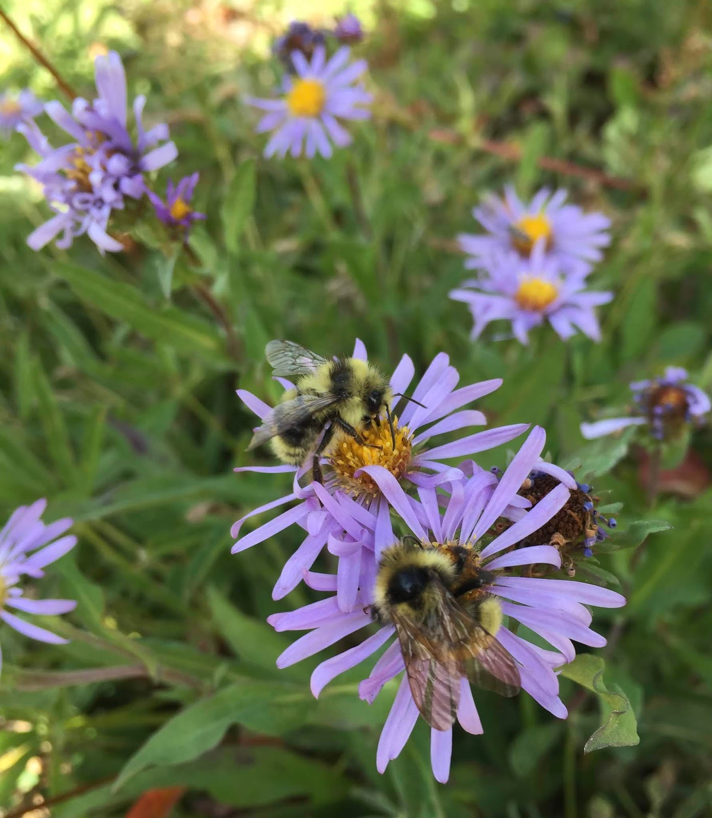
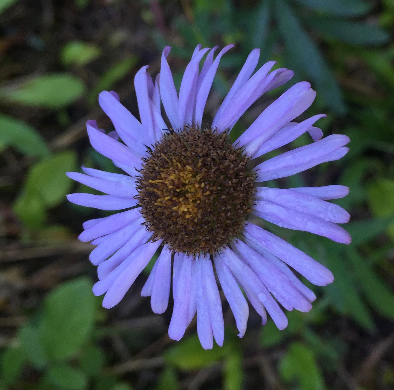
some of the wildflowers seen in bloom today


Day 3: We returned to Mowich Lake via Cataract Valley and Spray Park, 8.4 miles with 3,400 ft of overall gain.
The trail gains 3,200 ft in 4.2 miles, reaching the high point of 6,400 ft between Seattle and Spray Parks.


 There were many bushes filled with ripe huckleberries for us to enjoy.
We passed many cataracts that give Cataract Vally its name
 Looking back down into Cataract Valley as the trail climbs up.
 There were plenty of places to get fresh water.


A little natural reminder in the trail of how much I love to hike.


 View of Mother Mountain to the north from 6,400 ft.
Heading down into Spray Park
 The trail descends 1,500 ft over the next 2 miles


 Having been to Spray Falls several times before, we decided to bypass it today.
The last two miles of trail loses and gains 200 ft.

a brief view point along the trail shows Mt Rainier is still covered in clouds, a nice view of a glacier along Ptarmigan Ridge.


