Tuesday, November 29, 2016

Narada Falls to Reflection Lake and Mazama Ridge Snowshoe

 Decided to head up to Mt Rainier National Park to go snowshoeing after the recent snowfall. We started at the Narada Falls parking lot went to Reflection Lakes then up to wander around Mazama Ridge for a while. Probably hiked about 4.5-5 miles with 800-900 ft of elevation gain.
We were the first ones on the trail today. We could see the indentation in the snow for the trail that was between Narada Falls and Reflection Lakes.
 Small falls on the Paradise River
 The Paradise River is beautiful in the snow.
Another small water fall along the Paradise River, this one is just before the trail joins the Stevens Canyon Road.

The avalanche risk was moderate today, and the snow minimal on the slopes above the Stevens Canyon Road, so on the way to Reflection Lakes, we followed the road.  Here looking down to Narada Falls and the parking area below.
Pano at Reflection Lakes. This morning Mt Rainier was hiding behind the clouds.

 We saw several birds in the snow covered trees.

 We hit the Lakes Trail through the woods from Reflection Lakes the trail was covered in fresh snow but the trail could be seen from an indentation in the snow. However, when we turned up toward Mazama Ridge there was no indication of the High Lake Trail. We had fun exploring and breaking trail. Not sure where we ended up on Mazama Ridge.
Before our turn around time, we found a nice open area to sit and enjoy lunch:
 Before we turned around, the clouds began to lift and we could see the Tatoosh Range to the south.

 As we followed our tracks and snowshoed back towards the Lakes Trail, we could see the clouds continuing to lift,
 and had distant views of Peaks and
 of Mt Rainier.
 Lovely snow today.

 Back at the Narada Falls Parking lot, we could see Eagle Peak


Took the short hike down to the viewpoint below Narada Falls.


View of the Paradise River above Narada Falls


Tuesday, November 22, 2016

Summit Lake

Went to Summit Lake just north of the Carbon River in the Clearwater Wilderness and were surprised to find out we had the entire hike to ourselves. The weather was better than predicted, we had some sun, occasional views of Mt Rainier and no rain showers! it is 2.5 miles to the Lake and another mile to do the loop around the lake, so 6 miles with 1,300 ft of elevation gain.
We found snow along the trail a short ways into the hike.
There is a small waterfall under the bridge on the trail.

View of Bearhead Mtn from Twin Lake. This is where the trail divides, to the left: Summit Lake and to the right: Bearhead Mtn. We went left.
 A frozen pond a short ways up the trail.
 As the trail neared Summit Lake, we had a glimpse of Mt Rainier between the trees.
Pano as we neared Summit Lake. We decided to hike clockwise around the lake, going up the steeper section of the ridge first.

 A frozen pond near Summit Lake (the ice was very thin) be careful as the snow covers the edges of the pond.
 View of Summit Lake to the north, as we begin to climb up the ridge.
 When we first reached the top of the ridge, Mt Rainier was covered in clouds, but we had a nice view of Bearhead Mtn and Coplay Lake.
Pano from the ridge looking west towards Puget Sound
 Pano from the ridge looking east to south


 It was fun to watch the clouds moving across Mt Rainier.


 There are several spots along the trail where there are views of Mt Rainier hiking down the ridge.
 Wide angle of Summit Lake looking eastward. Far in the distance on the left, we saw Mt Stuart.


 What a beautiful day this turned out to be. We found it slippery on the way down the ridge, so used our micro spikes.


Pano from Summit Lake, where we stopped for a lunch break before hiking out.


Sunday, November 20, 2016

Little Mashel Falls

We drove up on Hwy 7 just past Eatonville to Pack Forest to hike to the 3 waterfalls along the Little Mashel River.  The hike we did today was about 5.75 miles with 500 ft of overall elevation gain/loss.
From the parking lot near the Administration Building, we walked along Road 1000 northward to a Y in the road a little over 1-1/2 miles. Took a left at the Y (road 1070, but we did not see any signage). We walked a short ways until we saw "FALLS" written in blue on a rock, this is the Falls trail. Soon it reaches a junction, turn left at the junction.

After a short distance the trail reaches a Y. Go to the right for Middle Little Mashel Falls, but first, we went down to the left (there is a short wooden bridge on that trail).


This leads to the turn off on the right to Lower Little Mashel Falls.


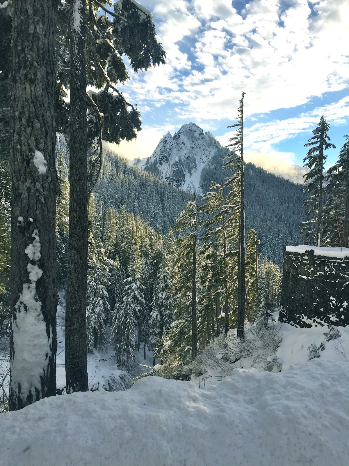
We enjoyed the mossy forest walk.
Note: along along the route there are signs warning of the danger of slippery rocks and recent fatalities.
View of Lower Little Mashel Falls from the trail.
There is a steep, slippery, root filled boot path down to the bottom of the falls with a cable line in place.


Be careful, as the cable was very worn in places.

Wide angle view of Lower Little Mashel Falls (40 ft)


We returned back up the trail to the junction with the main falls trail. There was no signage for Middle Little Mashel Falls, but where the sign of the tree showed Upper Falls to the right, the trail to the left takes you down to Middle Falls.
This trail down to Middle Little Mashel Falls was the easiest to access.


View of Middle Little Mashel (or Bridal Veil) Falls from near the end of the trail. (Higher up the trail we saw a cable going down a very steep section to the falls, but there is no need to take that way down)
The trail continued down to the base of the falls, it was slippery in the mud, but not as steep as the path down to the Lower Falls.

View of of Middle Little Mashel (or Bridal Veil) Falls from the base of the falls (120 ft), the spray was very strong today.


We returned to the falls trail to hike up to the Upper Falls, this portion of the trail was narrow and eroding in places. It did not appear as well trodden.
Shortly downstream from the Upper Falls, when Little Mashel River is high,  water spills over before the falls creating another fall. This was across the river, which was too high for us to easily cross today.


zoom of this spillage fall
Shortly after this, the trail had eroded enough where we needed to bushwhack to reach a good view of the Upper Falls.

Upper Little Mashel (or Tom Tom) Falls (25 ft)

We saw a variety of fungi and some flowers along the trail today: