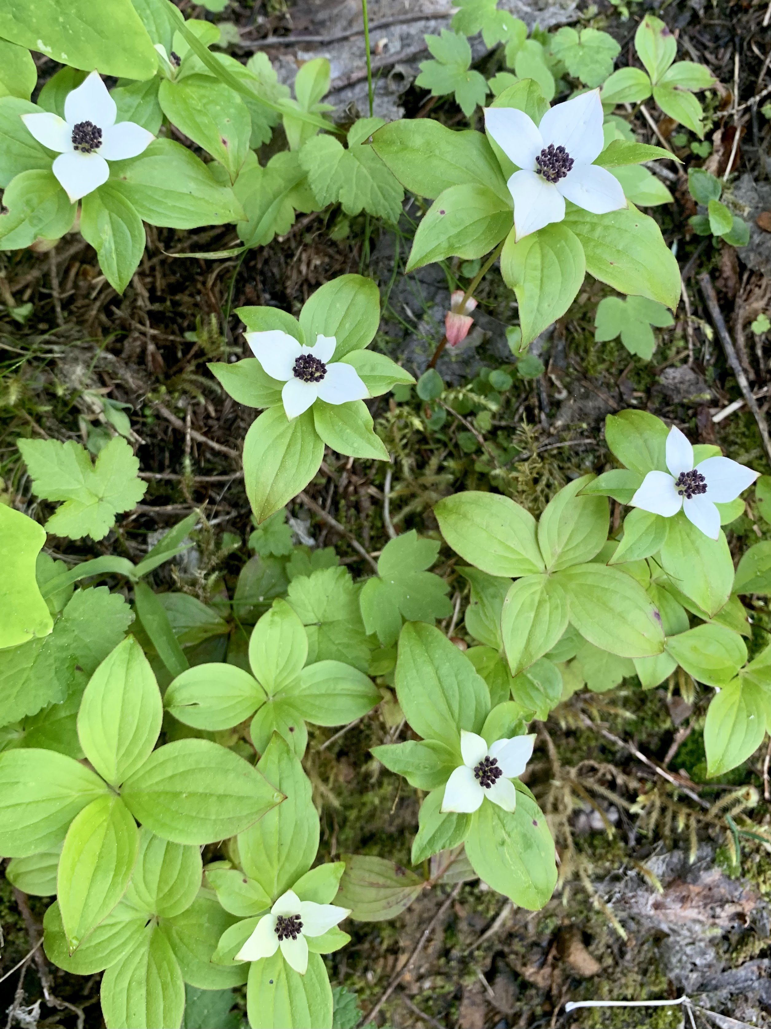
Drove up to Johnston Ridge at Mt St Helens National Volcanic Monument this morning to hike the Boundary Trail to Harry's Ridge, 8 miles round trip with 1,200 ft of overall gain. So lovely to see the wildflowers blooming and some mountain goats along the way. I had the trail to myself until I was coming back down from the Harry's Ridge and then only a few hikers out this morning. Near the beginning of the trail, I saw penstemon, paintbrush and lupine in bloom.
 Lots of paintbrush and penstemon a bit further down the trail.
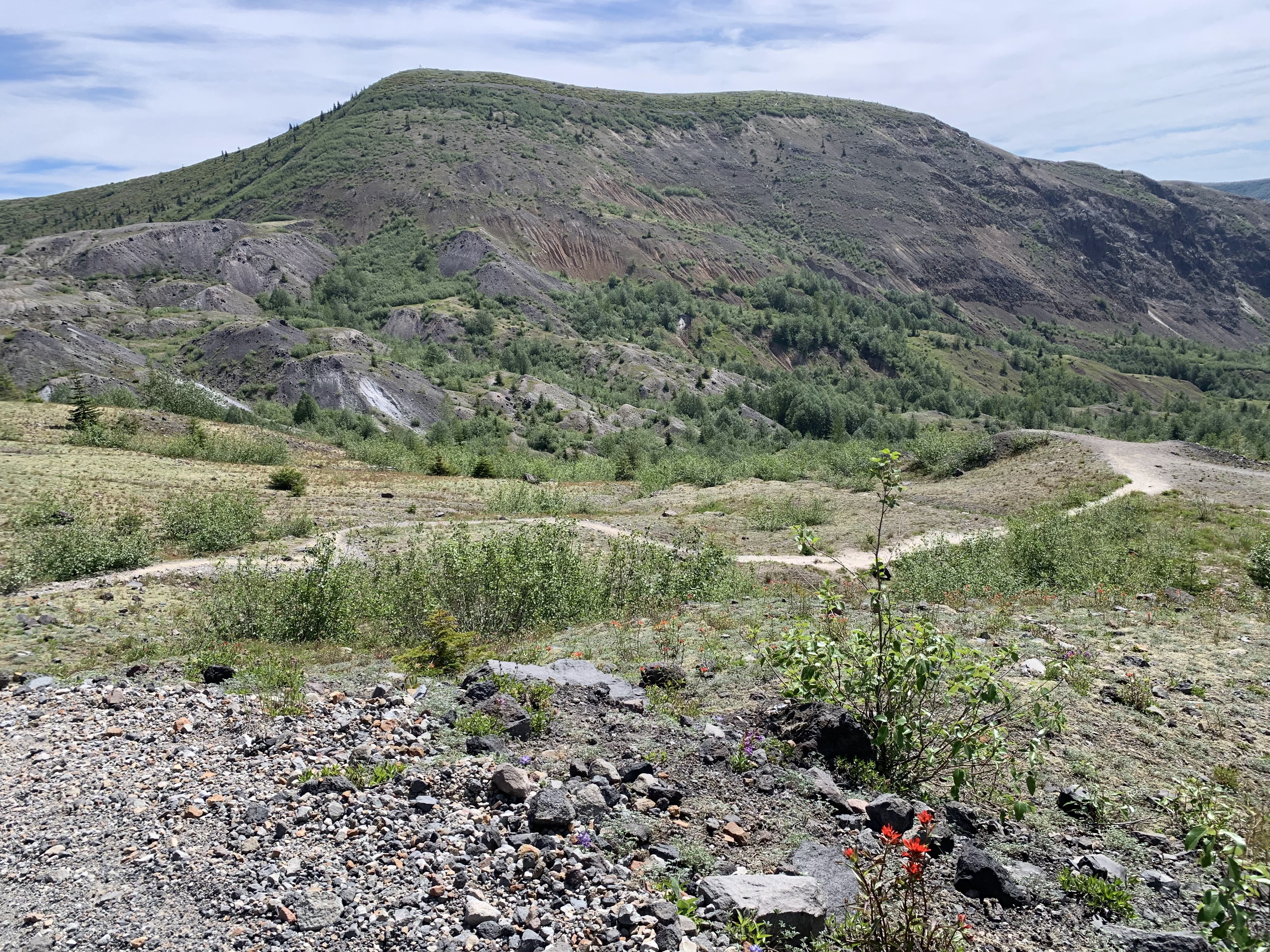
 View of Coldwater Peak to the north
 In the shadow on the west side of Devil's Elbow, I saw some mountain goats. I spent quite a while watching them and trying to get zoom photos.
zoom photos of the mountain goats


 I also saw a couple of ground squirrels near the trail.
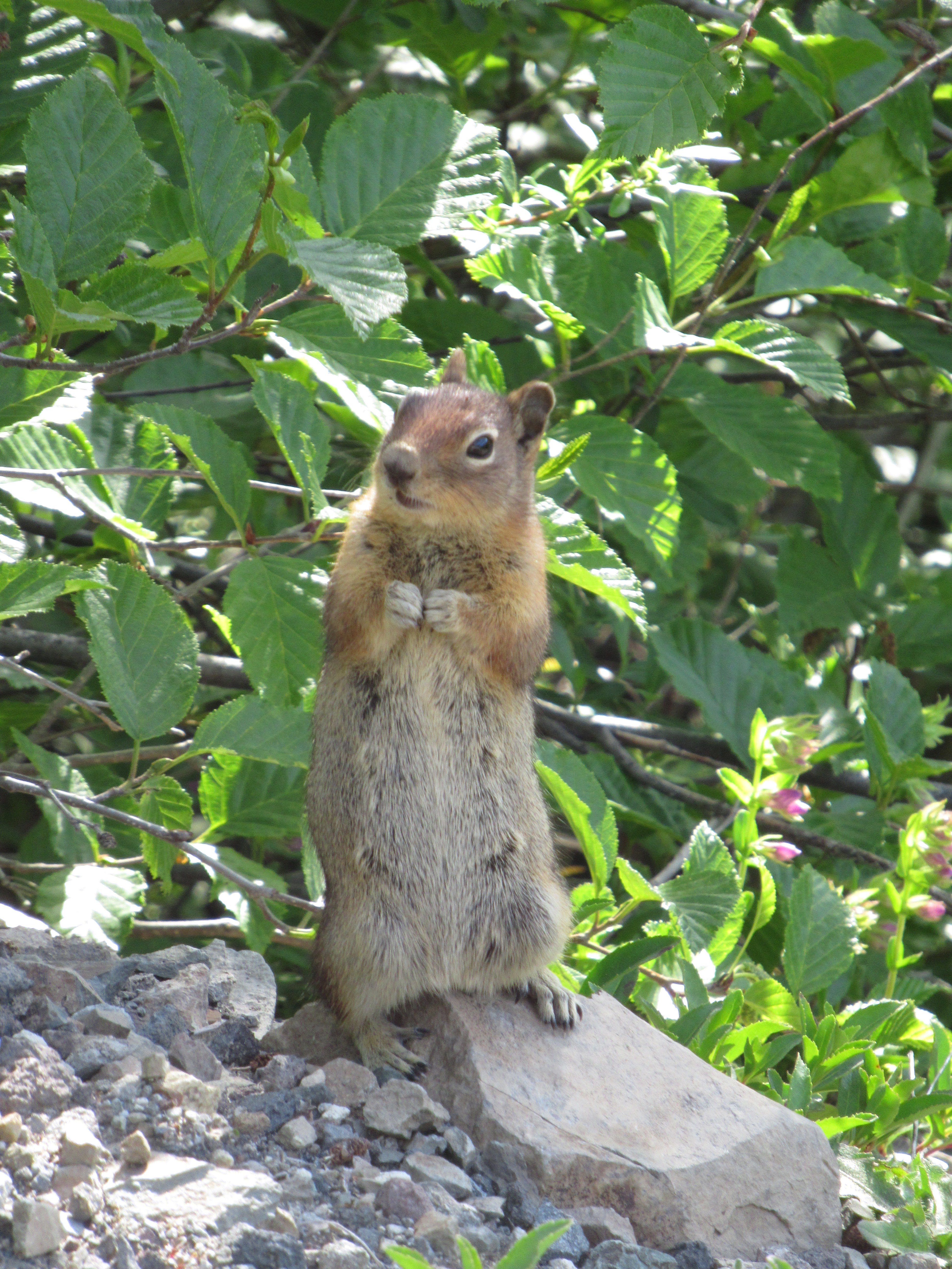
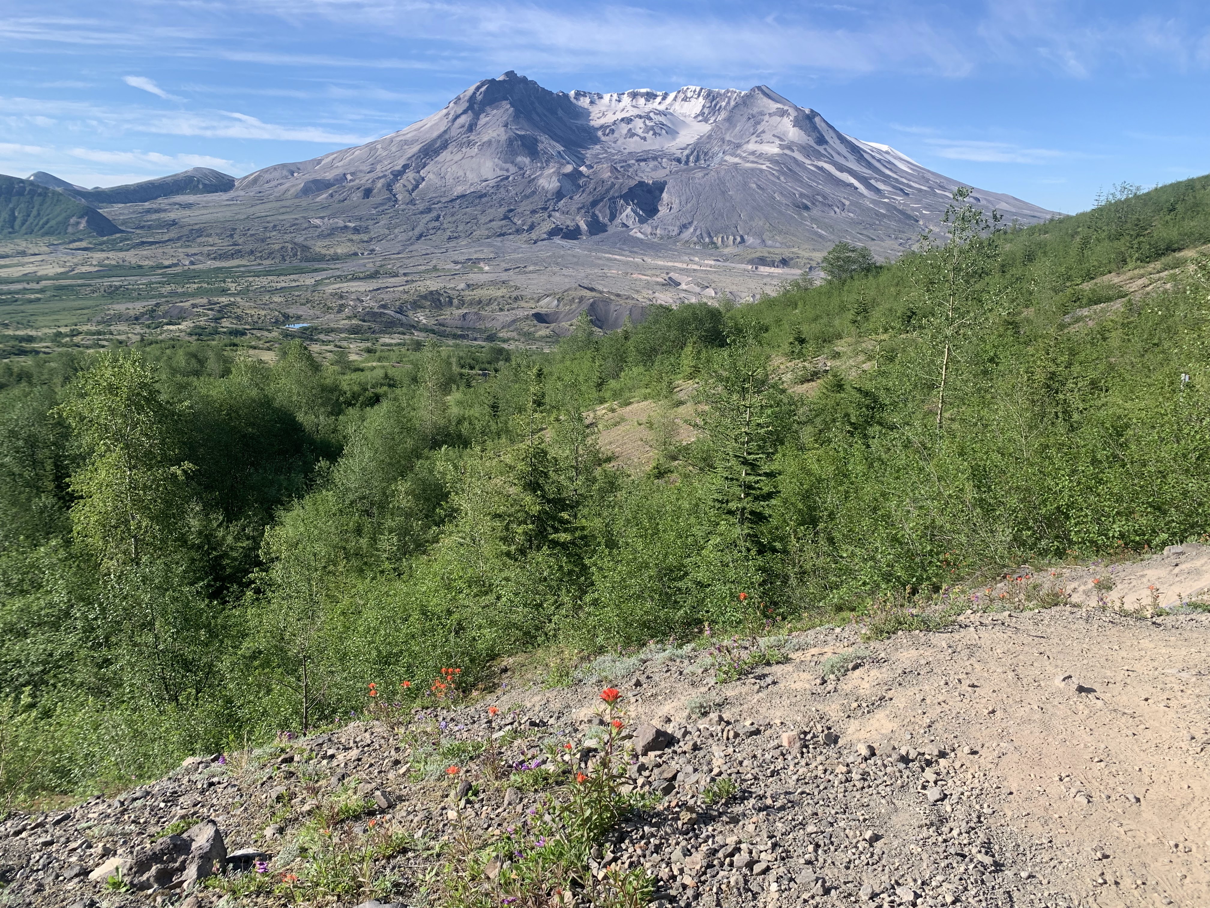 Mt St Helens from the east side of Devil's Elbow
 View of Harry's Ridge to the east.
The side trail up Harry's Ridge starts from the far north end, Mt St Helens can barely be seen peeking out to the right side.
 Arnica in bloom along the trail, Mt Margaret in the background.
 As the trail continues up Harry's Ridge, Mt St Helens begins peeking out on the left side.
pano from the top of Harry's Ridge looking east to south with Spirit Lake, Mt Adams, Mt Hood
and Mt S Helens
 zoom of Mt Adams
 zoom of Mt Hood
  I continued hiking down the south end of Harry's Ridge for a ways. View form where I stopped and turned around.
 I was so busy looking at the mountain goats on my to Harry's Ridge, that I didn't notice this big patch of lupine until I was hiking back to the parking area.
some of the wildflowers seen along the trail today: