
 We drove up to the Onion Valley Trailhead to hike up to Kearsarge Pass in the John Muir Wilderness, 9.5 miles round trip with 2,600 ft of gain. It was cloudy when we started, but we had blue skies before we reached the pass. Lots of PCT hikers from around the world on the trail today.
 Some mountain views as we begin hiking up the trail.
 The trail enters the John Muir Wilderness about 0.75 miles up the trail.
 The trail is mostly out in the open, with some sections through the trees.
 We reached Little Pothole Lake at 10,000 ft about 1.5 miles from the trailhead.
 The clouds were moving fast across the mountains today as we continued to climb up the trail.
 Gilbert Lake at 10,400 ft was about 2.2 miles from the trailhead, as seen from the east shore.
 view of Gilbert Lake from the north shore
 A short distance from Gilbert lake is a short spur trail to view Flower Lake about 10,500 ft.
 Lovely mountain peaks on this trail
 Heart Lake is about 3.5 miles from the trailhead and viewed from 11,000 ft.
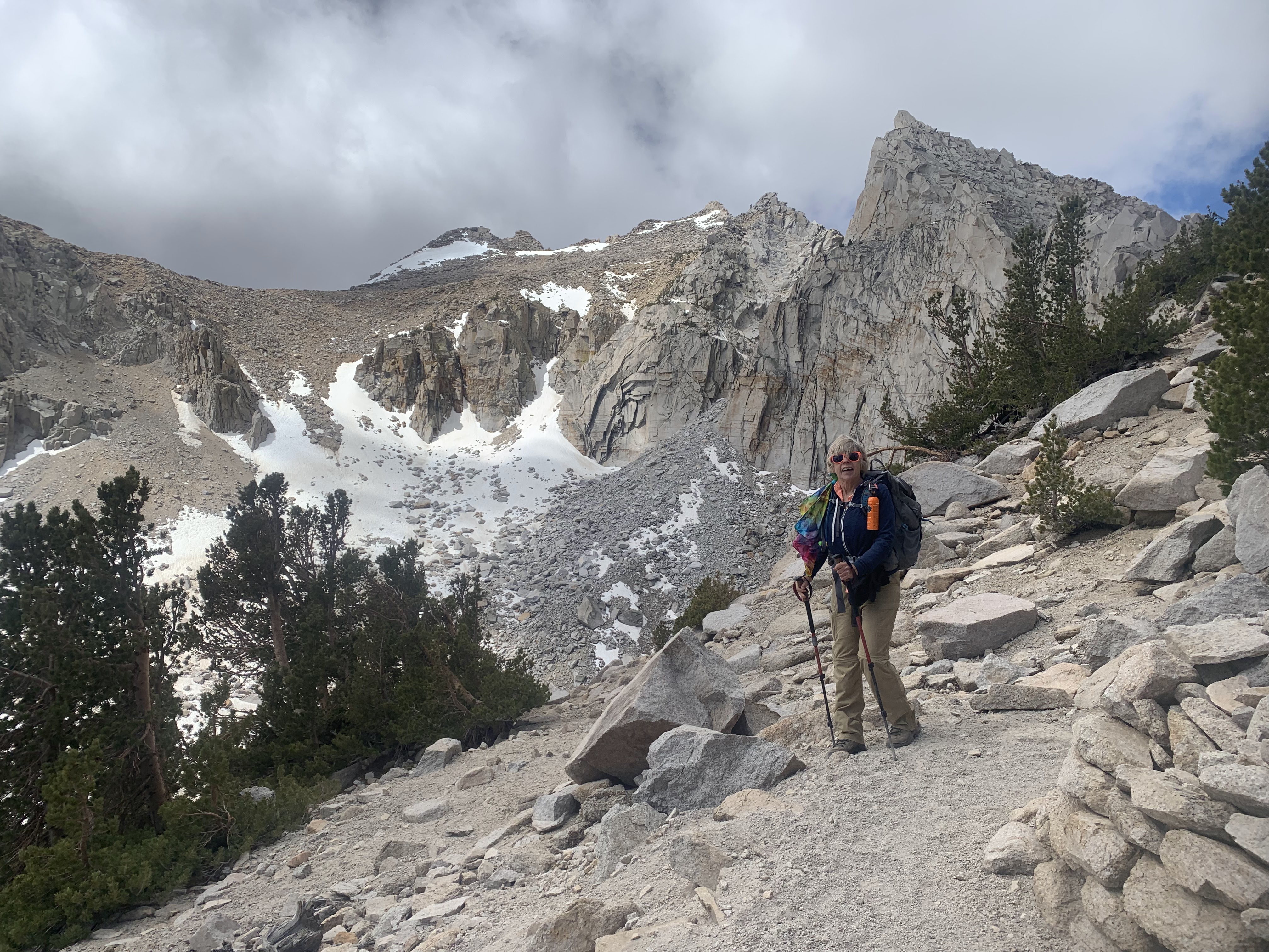 View between Heart Lake and Big Pothole Lake
Panorama view of Big Pothole Lake (at 11,300 ft) below the trail and Kearsarge Pass off to the far right.

 Another view of Big Pothole Lake a short distance up the trail.
 At Kearsarge Pass (11,760 ft)
Panorama view looking west from Kearsarge Pass (in King Canyon National Park)

 Below are the Kearsarge Lakes and Bullfrog Lake to the west
 view to the north from Kearsarge Pass
 view to the south form Kearsarge Pass
 view to the east from Kearsarge Pass, large Pothole Lake below
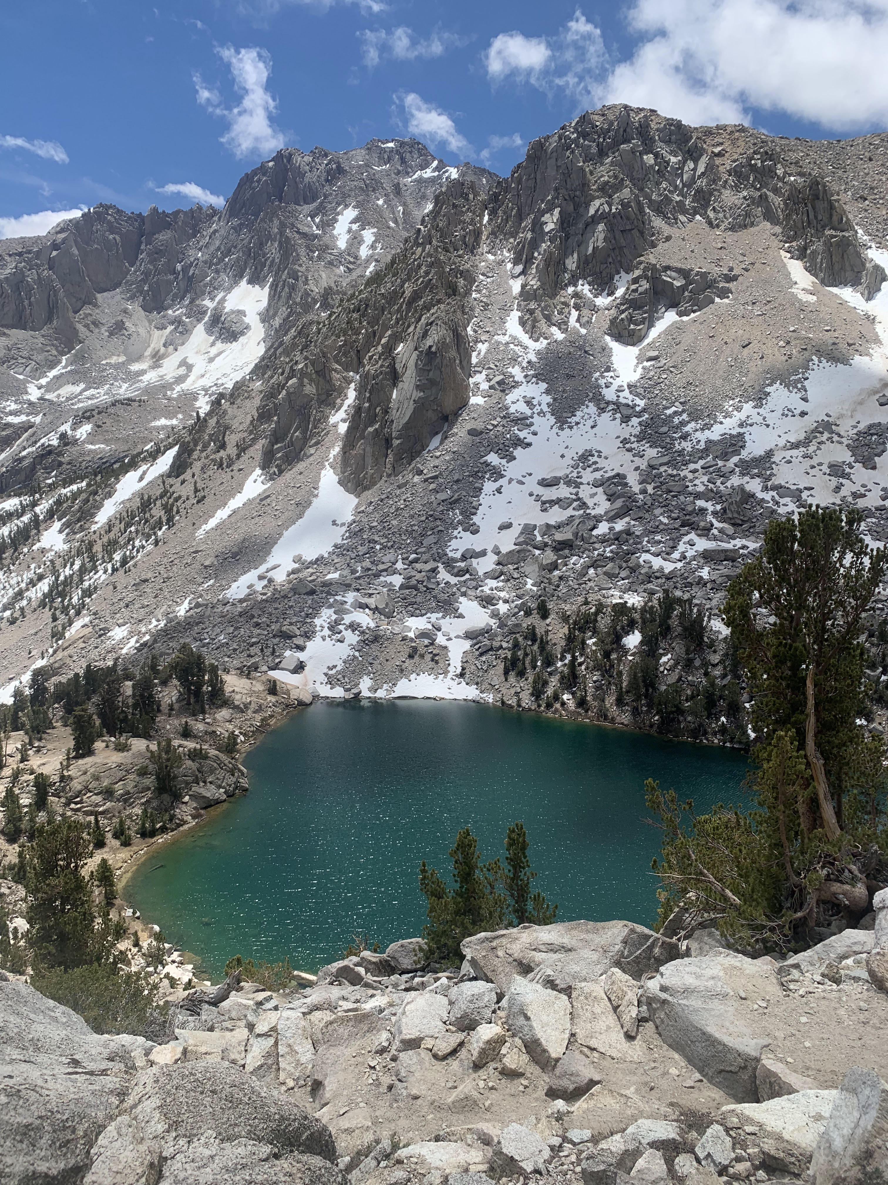 With blue skies as we hiked back down the trail, the views seemed new, here Heart Lake.
 buttercups in the meadow
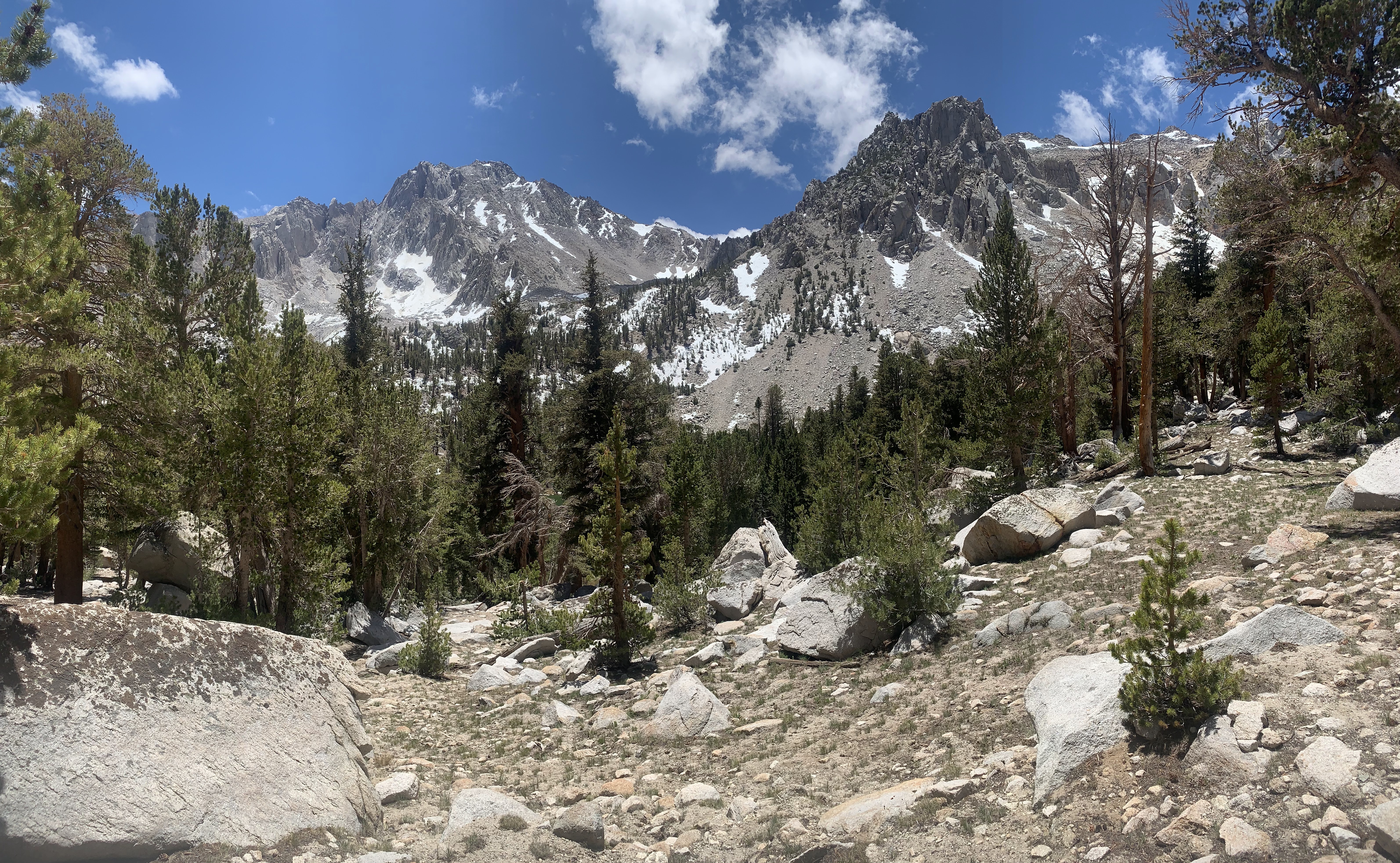 lovely mountain peaks against the blue sky
 Gilbert Lake from the west shore
 Gilbert Lake from the north shore
 waterfall as seen from the trail between Gilbert Lake and Little Pothole Lake
 Little Pothole Lake
 View back down from near the trailhead
wildflowers seen along the trail today:


No comments:
Post a Comment