Monday, December 31, 2018

Mount Rose

Decided to end the year with a good conditioning hike up Mount Rose in the south Olympics. This is a 6.4 mile hike, if you complete the loop on the top. Heading up to the peak going clockwise at the loop, the trail gains 3,500 ft in 2.9 miles.

There was one downed tree at the beginning of the trail.


lovely cascades at the second bridge near the beginning of the trail

The trail is mostly in the forest, we had some peekaboo views of Lake Cushman as we hiked up the beginning part of the trail.

The snow became consistent on the trail near the start of the loop at 3,050 ft of altitude (1.8 miles up the trail). We headed up the loop going clockwise.

There were some nice icicles hanging off the boulders.

Lovely tree standing on a boulder.


logs over the creek crossing
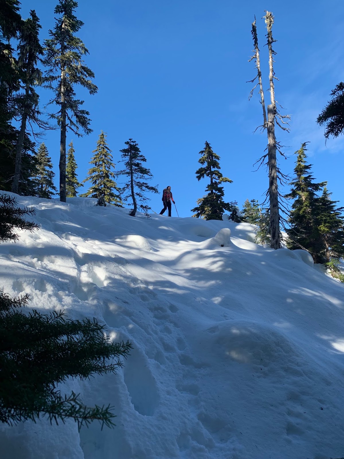
There was a fairly well packed down route in the snow from previous hikers. Snowshoes were not needed on this track, but it was icy, so we were glad we brought our microspikes

 lovely little creek


 As we gained elevation we had some peekaboo views of Mt Rainier and


Mount Elinor.
We did end up off the main tracks, following a single set of tracks up a steep section (this may be near the summer route)


This led us up to this gorgeous view of Mt Elinor


Before the final section heading up to the top of Mount Rose,


here there is a nice flat area with a view overlooking Lake Cushman with Hood Canal, Puget Sound,  Mt Rainier, Mt Adams and Mt St Helens seen in the far distance.


Another view as the trail heads up close to the summit


 The summit of Mt Rose at 4,300 ft is filled with trees, there is a rock cropping off to the side with some views of Lake Cushman to the southwest and


some of the southern Olympics to the north west.

 gray jay in the branches


We saw three eagles soaring above us as we were at the summit of Mount Rose.


This was the first time on Mount Rose I found a good set of tracks going down the loop on the other side of the summit, so we opted to go down that way. For a while the trail continues along a ridge, here we had peekaboo views of Mt Rainier,


 Copper Mountain and

 Mount Elinor, now in the clouds


One of the creek crossings on the way further down the loop trail.

Sunday, December 30, 2018

Ranger Falls and Green Lake

Drove out to the Carbon River entrance of Mt Rainier NP to hike up to Ranger Falls and Green Lake. This is a 9.6 mile round trip hike with 1,150 ft of gain. We did not need snowshoes nor micro spikes today.

The first three miles are along the closed Carbon River Road in an old growth forest..
There was a light dusting of snow along portions of the road walk.

 It was fun to watch the rain drops plop into puddles.
 Lots of water in Falls Creek

 View of Carbon River shortly before the trailhead up to Rangers Falls and Green Lake.
 From this trailhead it is 1 mile to Ranger Falls and an additional 0.8 miles to Green Lake. There was water running down the trail today.
 One one section of this trail there was one downed tree and lots of branches.
 More running water on the trail
Up ahead is the short side trail to Ranger Falls


 Ranger Falls


View of Ranger Falls from the railing


Log bridge over Ranger Creek
view of Ranger Creek just before the log bridge

Green Lake today


 some reflections in Ranger Creek near Green Lake


We started to see some blue sky as we were hiking back down the Carbon River Road

Thursday, December 27, 2018

Mount Walker


 Headed up to north Hood Canal area to hike up to Mount Walker. In the winter this is a 5.5 mile round trip hike with 2,000 ft of again.
In the winter, the gate up the forest road is closed, so the parking is at the gate closure. The first 0.25 mile is up the closed road to the trailhead.. The trail gains 2,000 ft in the next 2 miles in a steady incline through the forest.


Encountered a small amount of snow shortly before reaching the North Viewpoint.
 View of the Olympics from the North Viewpoint
 View of Hood Canal from the North Viewpoint
A half mile walk to the South Viewpoint

 South Viewpoint
 View of Quilcene Bay and Hood Canal from the South Viewpoint


I didn't see any other hikers until I reached the South Viewpoint. I encountered several other hikers as I was hiking back down the trail. A very peaceful hike today.

Friday, December 21, 2018

Reflection Lakes Snowshoe

We drove up to the Narada Falls parking area at Mt Rainier National Park to snowshoe up to Reflecion Lakes. With the high and unpredictable avalanche risks recently, we decided to take the route that did not cross any avalanche terrain. This was about 4 miles round trip with 800+ ft of elevation gain overall.

This route has not yet been marked by the ski patrol. We were the first ones out on this route today. The first part of the "trail" that goes along the Paradise River had a nice trough, showing were others had snowshoed.


The snow didn't seem as deep as when I snowshoes here one week previously.
View along the Paradise River


Fresh snow is so beautiful to snowshoe in!


Ruby Falls were very icy.


On reaching the closed Stevens Canyon Road, we could see the orange stakes and signs ready to be place.


 Lovely icicles on a large boulder along the road.


We continued up the closed road about 1/4 mile looking for the Lakes Trail junction.

The Lakes Trail is a less traveled way to Reflection Lakes in the winter, but has no avalanche terrain to cross. Between gps and remembering this route from previous seasons, we were able to find our way through the forest to Reflection Lakes. With the fresh snow, we were breaking trail this mile section of our snowshoe. In places we post holed 12" even with snowshoes on.

It was so quite in the snow. On a clear day, there would be a view of Mt Rainier here.

We knew we were getting close to the road before Reflection Lakes when we crossed this open area and seeing the Tattosoh Range in front of us.


First view of Reflection Lakes


We snowshoes along the edge of the lake, looking for a nice sheltered area to enjoy our lunch break. We had the lake to ourselves.


Pano of Reflection Lakes:
This stellar jay kept an eye on us throughout our lunch break.

Our snowshoe back was a little easier as we were returning on our previous made tracks.


View of the Tattoosh Peaks as we neared the parking area.