We choose another beautiful hike for the last summer weekend.
Lake Ann lies on the side of Mt Shuksan near the hanging glaciers Upper & Lower Curtis. The trailhead is near the end of the Mt Baker Hwy.
Artist Point can be seen to the right side of the trail sign.
The trail to Lake Ann is 8.2 miles round trip with about 1,900 ft elevation gain overall. We added a side trail to take us closer to view the glaciers for an overall 9+ mile round trip and a bit more elevation.

The trail starts in the forest and descends into a valley, dropping 900 ft before climbing 1000 ft to Lake Ann. Near the beginning of the trail you can see Mt Shuksan and off to the right, the ridge line we would go over to reach Lake Ann.
The trail soon enters the Mt Baker Wilderness. There we lots of ripe blueberries along the trail.
The trail descends 600 ft in about 0.6 of a mile, and enters the headwater basin of Swift Creek. I was happy that there were lots of creeks along this trail. The trail continues to descend another 300 ft through forest and meadows.
2.3 miles from the trailhead, the trail splits. To the left: Lake Ann To the right: down into the Swift Creek Valley.
Our trail continues through forest and meadows until it reaches a large rocky avalanche field.
The trail climbs 1000 ft through the rocky path. We saw lots of picas, but the scampered too fast for me to get a photo. With Mt Baker appearing over the ridge, there were lots of opportunities to rest and admire the view.
The last bit of the trail goes up through a meadow to a saddle, Lake Ann is on the other side of this saddle.

From the top of the saddle, looking south to Lake Ann and the Cascade mountains.
A short distance along the trail, there is a path to take you 100 ft down to Lake Ann.
We choose to continue on to a side trail (climber's path) toward Mt Shuksan to get closer to the glacier. We were so close to the mountain I had to use a panorama shot to get in the entire mountain top.
The side trail goes 0.7 miles out into the trees seen in the distance on right side of the large rocky prominence. Somewhere along this trail, we entered North Cascades National Park.
There were great views where the water melting from the glacier flows toward Baker Lake.
As we hiked along this path, we could hear boulders crashing down the side of the mountain.
Looking through the trees toward Lower Curtis Glacier. The trail did continue higher up, but the trail was very narrow, slanted, contained some boulders, so we decided to stop here.

Another view of Lower Curtis Glacier.

Upper Curtis Glacier
There were lots of waterfalls coming off the glaciers and down the sides of the mountain.
We returned to Lake Ann, hiked to the far side to sit and eat our lunch with this fabulous view.
Lake Ann from the south end.
Heading back to the trailhead. Mt Baker in the distance.
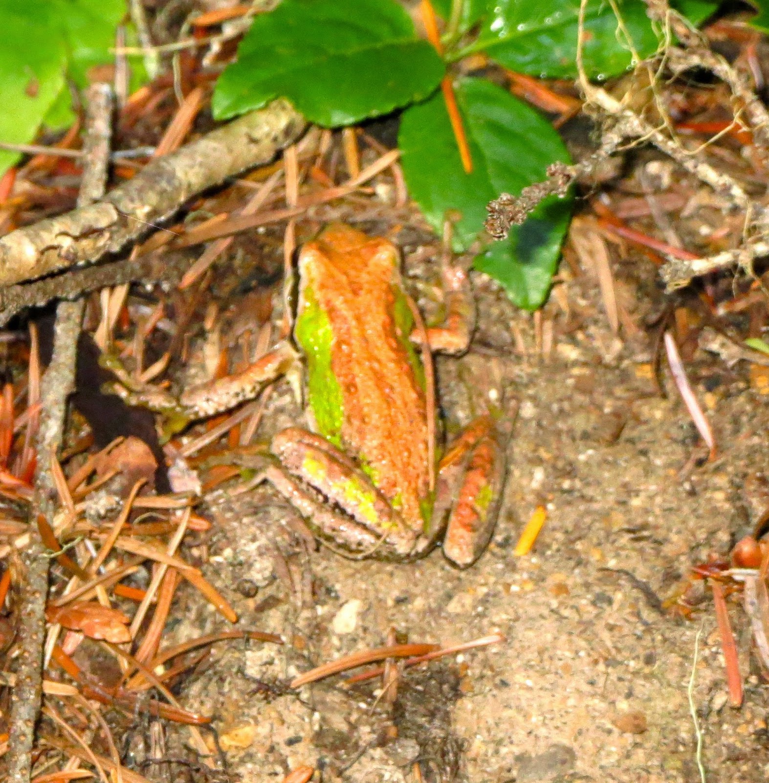
There were still a few wildflowers along the trail today:


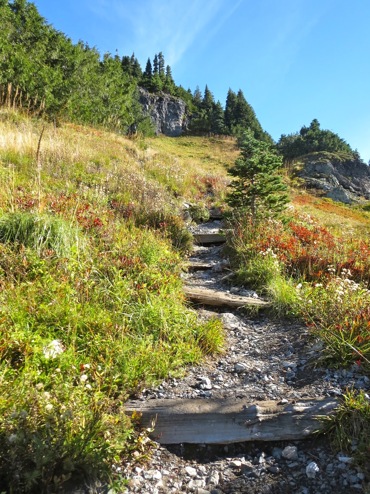 The trail enters another meadow and climbs steeply up to the saddle between Eagle and Chutla Peaks.

 Mt Hood and
 Mt St Helens
 As you round Eagle Peak, Mt Rainier begins to be seen.
 Someone had placed two logs together to make a bench in the shade, but on this fall day, we opted to sit on the rocks in the sun and enjoy our lunch and the views.


