

We planned to hike up to the summit and back, forgoing the loop for a 5.8 mile hike with 3,500 ft elevation gain, but in the snow the trail can be very different, particularly when following other people's tracks. We ended up doing some bushwhacking and coming out on the far end of the loop trail. With back tracking and wandering, our gps said 8 miles. It was a fun adventure on a beautiful day!
 The trailhead is located on a short turn off on FSR#24, before reaching the Staircase area of Olympic National Park, right off of Lake Cushman. The trail from the parking area to the trailhead is nice, wide, flat and very short.


Shortly after the junction, we began to see snow. It became deeper the higher we hiked. The snow was fresh and soft enough we did not need to use microspikes.

Here we could see Mt Rainier through the trees across Hood Canal and Puget Sound.


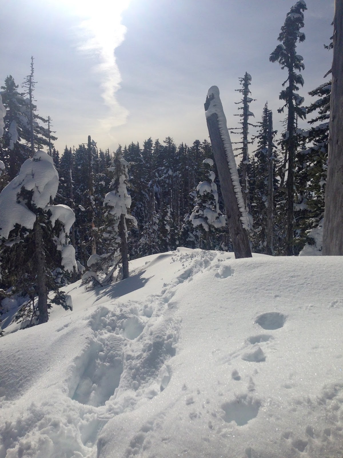
We found a ridge line that seemed to go down in all directions. I did not find the "summit" sign or nearby rocky outcroppings. I think the tracks we followed may have taken us up to the Summit/Ridge Loop to the east of the summit.

 and a slight forested rise to the west. I walked toward this rise, but the snow was very deep here and we would have needed to go down and then up again. We were happy with our location, so we sat, ate our lunch and enjoyed the views.
From here, we could across Lake Cushman, Hood Canal and Puget Sound to see Mt Rainier, Mt Adams and Mt St Helens.


zoom of Mt Rainier

zoom of Mt Adams

zoom of Mt St Helens
Panoramic view from our lunch spot


Somehow, we lost our tracks from the way up. We decided to bushwhack towards the east, staying away from the steep slope down. I knew we would join up with one end of the loop trail or the other. Because we were crossing fresh snow, we put our snowshoes on.


We had a great workout today!!!
No comments:
Post a Comment