
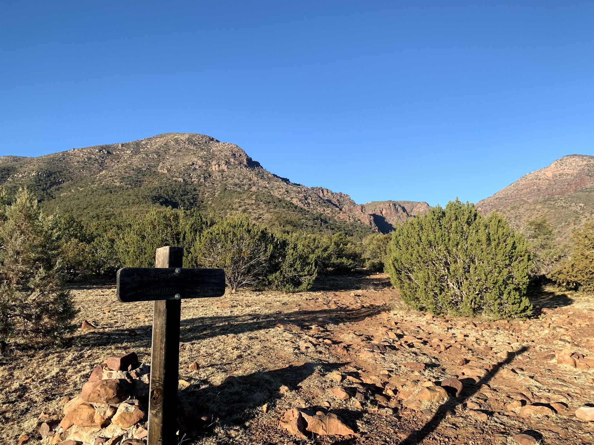
We drove up to the Mazatzal Wilderness in the Tonto National Forest to hike the Barnhardt Trail up through and above Barnhardt Canyon. We did not go to the end of the trail, but hiked 8.5 miles round trip with 1,700 ft of gain.

Near the beginning of the trail, we went through a cattle gate.

About 0.75 mile from the trailhead, we entered the Mazatzal Wilderness. The first part of the trail was through oak and juniper trees.

The trail climbs and follows the south side of the canyon.

There were a variety of rocks along the trail.

Lots of rock formations

and a variety of plants

The trail wound around the canyon outcroppings giving us a variety of views.

Something new to see around every corner

sun rising above the canyon walls

This plant was about 4 feet across and was growing right out of the side of the canyon wall

The trail took a sharp turn to the left around the rocky outcropping,

to reveal a perfect place to sit and take a break.

Continuing up the trail

About 3 miles up the trail, we reached a narrow crevice where the waterfall is located. There was a sheet of ice over this pool of water.

A very short scramble over a few boulders let us to the waterfall.

We continued up the Barnhardt Trail about 1.3 miles beyond the waterfall getting above Barnhardt Canyon

We encountered some small snow and ice patches along the upper parts of the trail. Snow was lingering on Suicide Ridge. We took a lunch break and then returned down the trail.

 We drove up to the Mazatzal Wilderness in the Tonto National Forest to hike the Barnhardt Trail up through and above Barnhardt Canyon. We did not go to the end of the trail, but hiked 8.5 miles round trip with 1,700 ft of gain.
 Near the beginning of the trail, we went through a cattle gate.
 About 0.75 mile from the trailhead, we entered the Mazatzal Wilderness. The first part of the trail was through oak and juniper trees.
  The trail climbs and follows the south side of the canyon.
 There were a variety of rocks along the trail.
 Lots of rock formations
 and a variety of plants
 The trail wound around the canyon outcroppings giving us a variety of views.
 Something new to see around every corner
 sun rising above the canyon walls
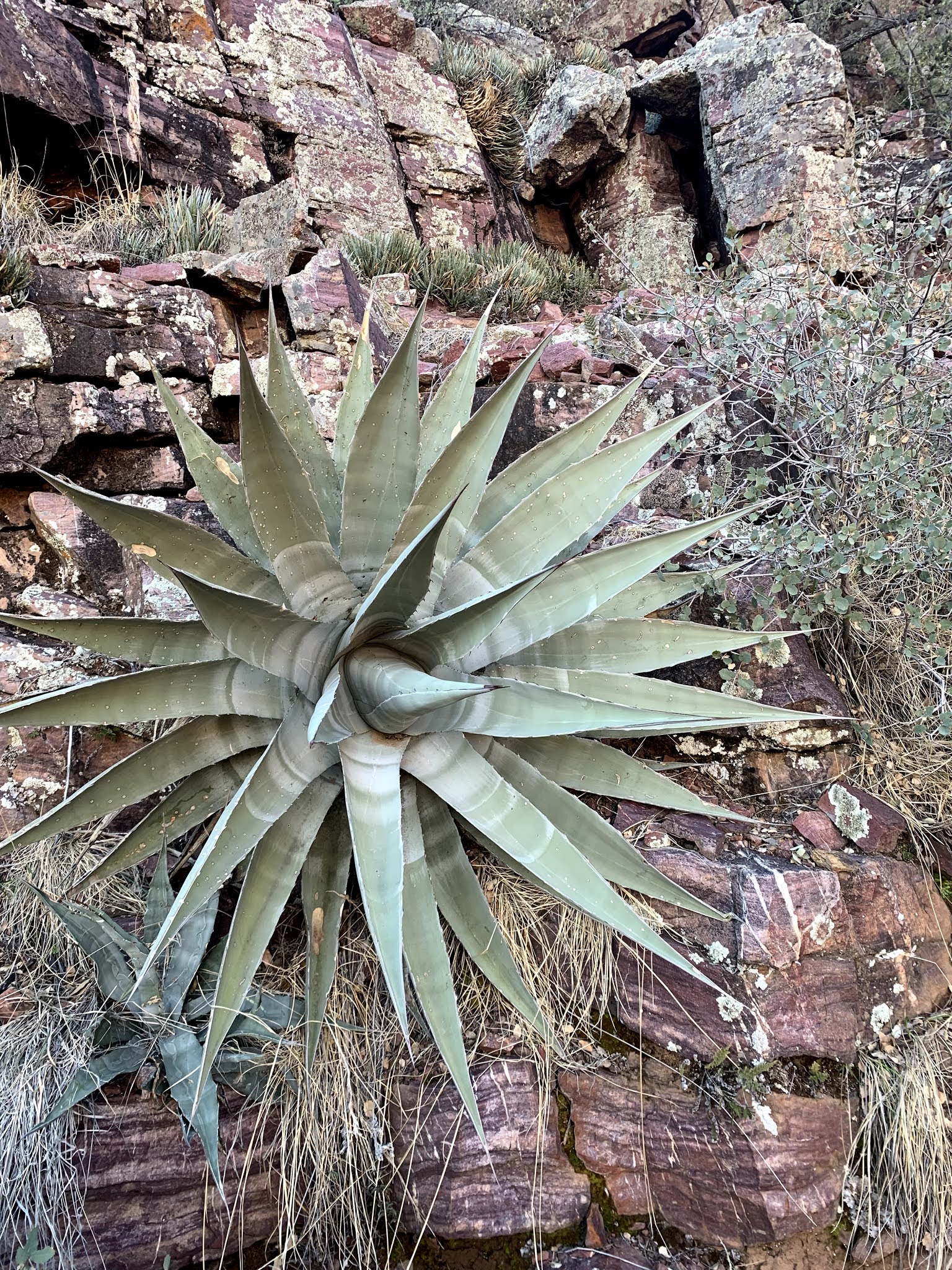 This plant was about 4 feet across and was growing right out of the side of the canyon wall
 The trail took a sharp turn to the left around the rocky outcropping,
 to reveal a perfect place to sit and take a break.
 Continuing up the trail
 About 3 miles up the trail, we reached a narrow crevice where the waterfall is located. There was a sheet of ice over this pool of water.
 A very short scramble over a few boulders let us to the waterfall.
 We continued up the Barnhardt Trail about 1.3 miles beyond the waterfall getting above Barnhardt Canyon

 We encountered some small snow and ice patches along the upper parts of the trail. Snow was lingering on Suicide Ridge. We took a lunch break and then returned down the trail.

No comments:
Post a Comment