This 8 mile hike with 200 ft of elevation loss/gain begins in the Makah Indian Reservation. The first two miles are in the forest. Part of the trail is board walked.
There is a lovely cantilevered bridge.
The skunk cabbage is in bloom.
After about a mile the trail becomes very muddy. But it seemed less muddy than when I've hiked here before.
There are a couple of places along the trail where there are glimpses of the Pacific Ocean.
There are now wooden stairs and a gravel path going down the cliff towards the beach. This is much nicer than the ropes down a slippery wet slope that was here before!
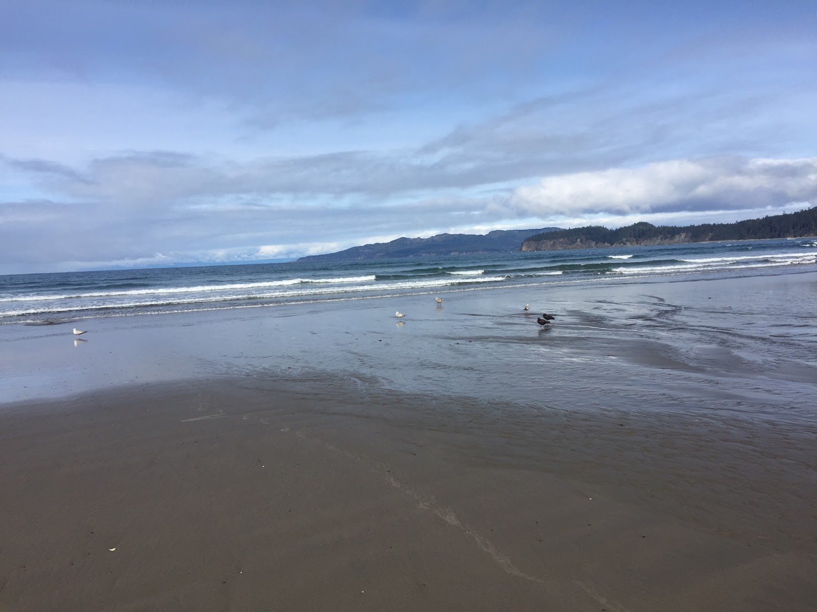
Shi Shi Beach, a nice 2 mile walk in the sand leads to Point of Arches to the south (seen in the distance).
Rocky point to the north of Shi Shi Beach.
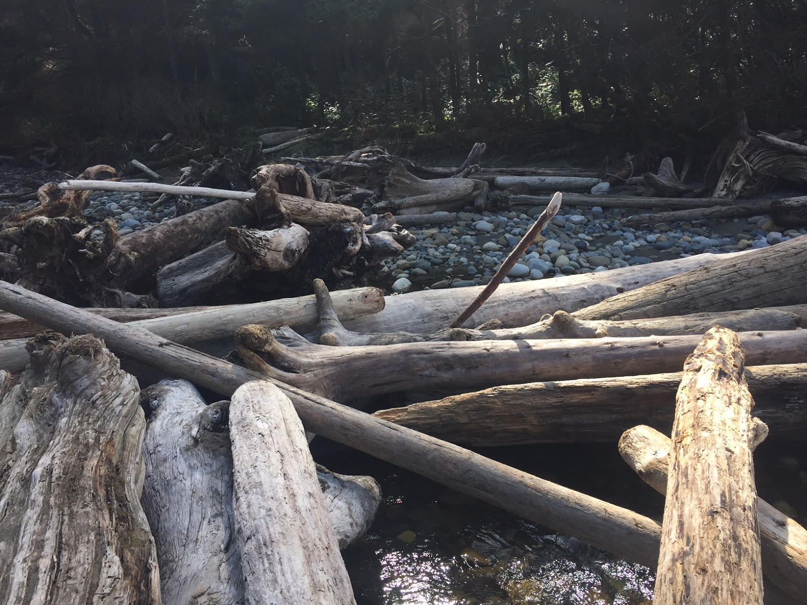
There is a creek 1.3 miles down the beach, as the tide was coming in and the creek running fast, we decided to go up the creek and cross on the logs over the creek.
Shore birds in the surf as we near the Point of Arches.
This was the first time I've seen these velella (or By the Wind Sailors). There were quite a few of them on the beach.
The tide was about 1/2 way up when we reached Point of Arches. The tide was too high to explore around the sea stacks.
We did find some anemones around the sea stacks closest to shore.
View of the bay to the south of Shi Shi Beach, we could see that it would soon be impassible as the tide was coming higher.
Another sea stack

The only sand dollar I saw on the beach today
we saw some oyster catchers napping on the beach as we hiked back
The sun came out and brightened the color of the water.
We climbed up the rocky point on the north end of Shi Shi Beach.
View of Shi Shi Beach from the rocky point
View of the small bay to the north of Shi Shi Beach.


No comments:
Post a Comment