We did a shuttle hike in Capitol Reef National Park today, leaving one car at the Grand Wash Trailhead on the east side and driving over to the west side of the Cohab Canyon Trail in Fruita. This was 9 miles one way with an overall gain of 1,640 ft.

The Cohab trail starts uphill steeply.
a sign reminds us to carry water as there is usually no water on this trail and it can get quite hot. We were fortunate to be hiking this trail on a cool spring day.
Looking back at Fruita as we begin ascending the Cohab Canyon Trail

The trail crosses a gap in the stone walls, where we would descend into Cohab Canyon.
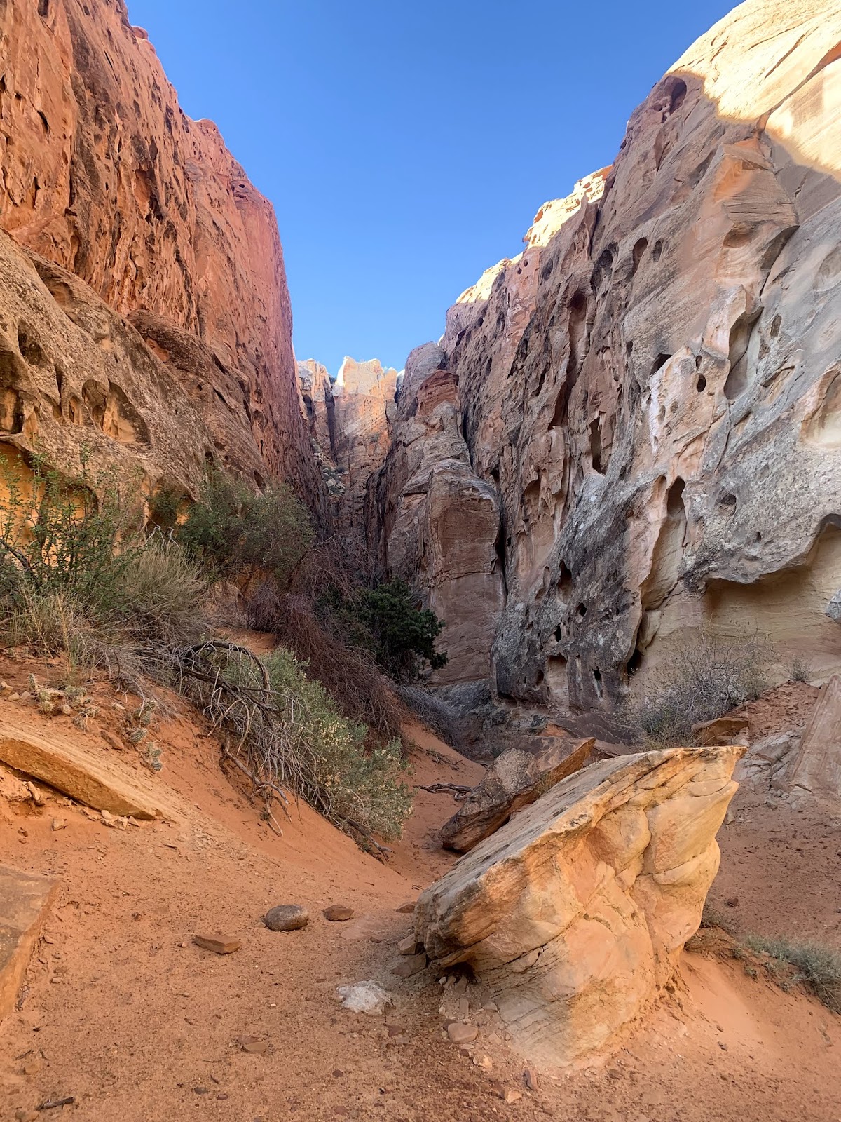
The canyon is filled with large interesting rock formations
There are many side canyons along the way.
We also saw wildflowers scattered along the trails
There were a variety of different rock formations eroded by wind and water
a balancing rock
view to the east through Cohab Canyon
1.1 miles from the trailhead, we reached a junction and headed upwards on the Frying Pan Trail.
The Frying Pan Trail quickly gains elevation up onto a plateau with grand vistas, here to the north
more wildflowers in bloom
We had a view to the northwest, of the gap we hiked through on our way into Cohab Canyon this morning.
panoramic view along the trail to the northeast
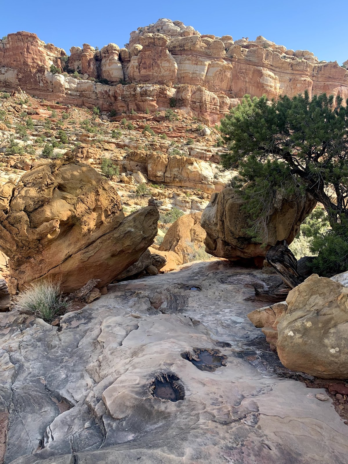
There were so many different rock formations
some rock formations looked like toadstools
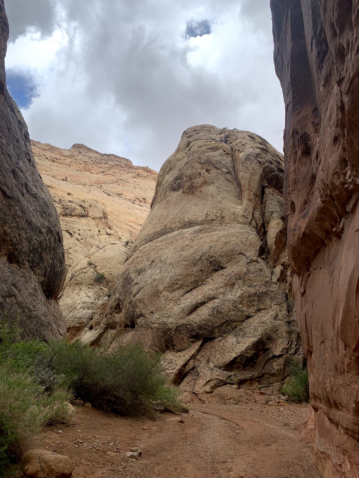
as the Frying Pan Trail meanders around different rock formations, we would see different panoramic views, here to the east

large balancing rock
view to the southwest
Mojave mound in bloom with claret cups
I think this bush with yellow flowers may be Mormon Tea Bush
There were many ledges we would walk over or under along the way
tiny lizard peeking out between the rocks
water had collected in the depressions in the rock from the recent rain storms
another vista
we walked around this large formation that shows several different layers of rock laid down over thousands of years
I believe Capitol Dome is in the distance
view to the south

The Frying Pan Trail is 3.5 miles long and connects with the Cassidy Arch Trail. Before continuing on to Grand Wash, we took the spur trail to Cassidy Arch

This side trail is on slick rock, with exposed drop offs, we were glad to do this before the rain started.
views along the spur trail to Cassidy Arch
Cassidy Arch, we would walk over and across the arch

While standing on Cassidy Arch, we looked across to where we stood to take the previous photo, it's a very long way down.
We then returned to the junction of the Frying Pan Trail to hike the Cassidy Arch Trail down to Grand Wash

view from the Cassidy Trail, looking back at Cassidy Arch on the upper mid right, storm clouds are moving in

heading down the Cassidy Arch Trail
The Cassidy Arch Trail is quite steep, gaining 950 ft in 1.5 miles, most of it before the spur trail, we were glad to be hiking down this trail.
entering Grand Wash from the west
more wildflowers in bloom
The Grand Wash winds its way between monolithic stone walls for 2.5 miles.

cliffroses growing at the bottom of the cliffs
we found some interesting holes in the rocks
exiting Grand Wash on the east side, what a fabulous hike today!!!
some of the wildflowers we saw in bloom along the trails today:


 The trail crosses a gap in the stone walls, where we would descend into Cohab Canyon.


 The Frying Pan Trail is 3.5 miles long and connects with the Cassidy Arch Trail. Before continuing on to Grand Wash, we took the spur trail to Cassidy Arch
 This side trail is on slick rock, with exposed drop offs, we were glad to do this before the rain started.


 While standing on Cassidy Arch, we looked across to where we stood to take the previous photo, it's a very long way down.


No comments:
Post a Comment