
 We drove to Castle Crag State Park in Northern California this morning to hike the Crags Trail up to Castle Crag, 6 miles round trip with 2,100 ft gain. View of the crags from the park entrance.
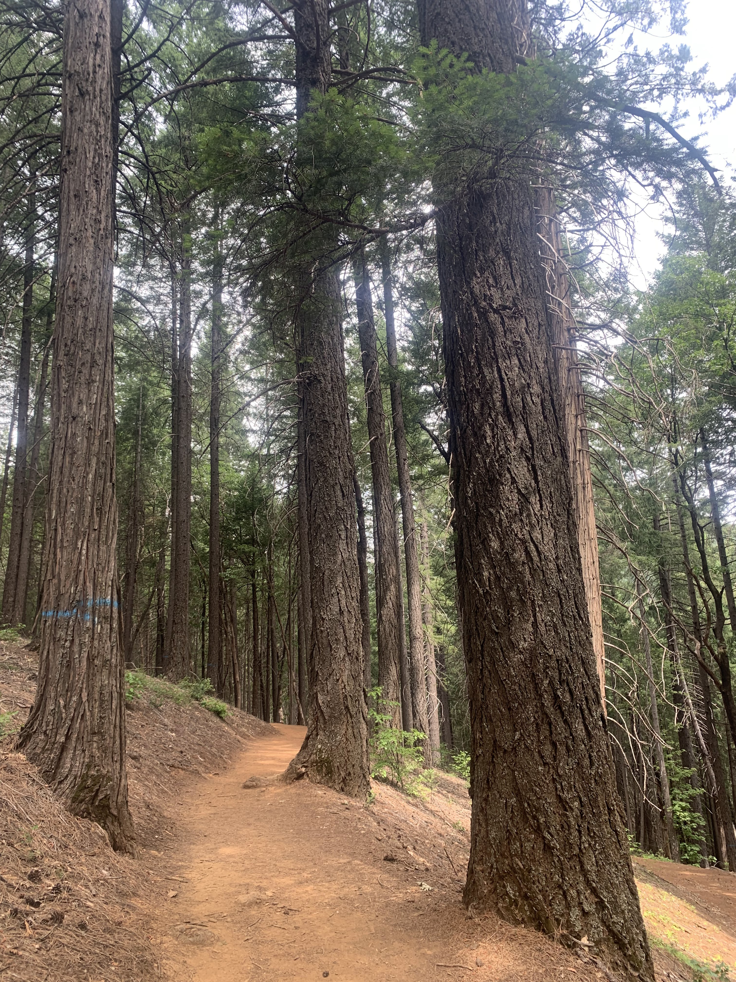 The trail through the state park is through the forest on a well marked and well maintained trail.
 After 1.7 miles or so, we had a view of the crags through the trees.
 At 1.8 miles from the trailhead, we walked along the Indian Springs Trail for a better view of the crags.
 We had a nice view of the Gray Mountains to the south.
 About 0.1 mile along the Indian Springs Trail, we were descending into the woods and the crags view was disappearing, so we turned around and returned to the Crags Trail.
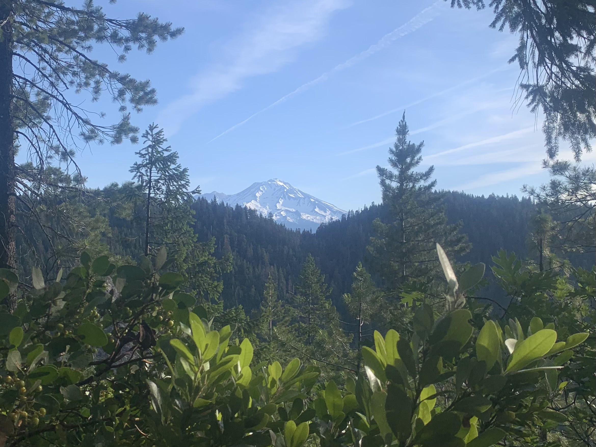 Shortly before entering the Castle Crags Wilderness, we had a nice view of Mt Shasta.
 Sign of the boundary between the state park and the wilderness
 The trail through the crags was steep and wonderful!
 We enjoyed walking up through the base of the crags.


 Before long, we were above the lower crags.
 Castle Dome and Mt Shasta
 zoom of Mt Shasta
 And the trail continues by and around the crags.

 More views of Castle Dome,
 and the area around the trail.
 Mount Hubris
 Castle Dome
 Sign marking the end of the trail near Mount Hubris,
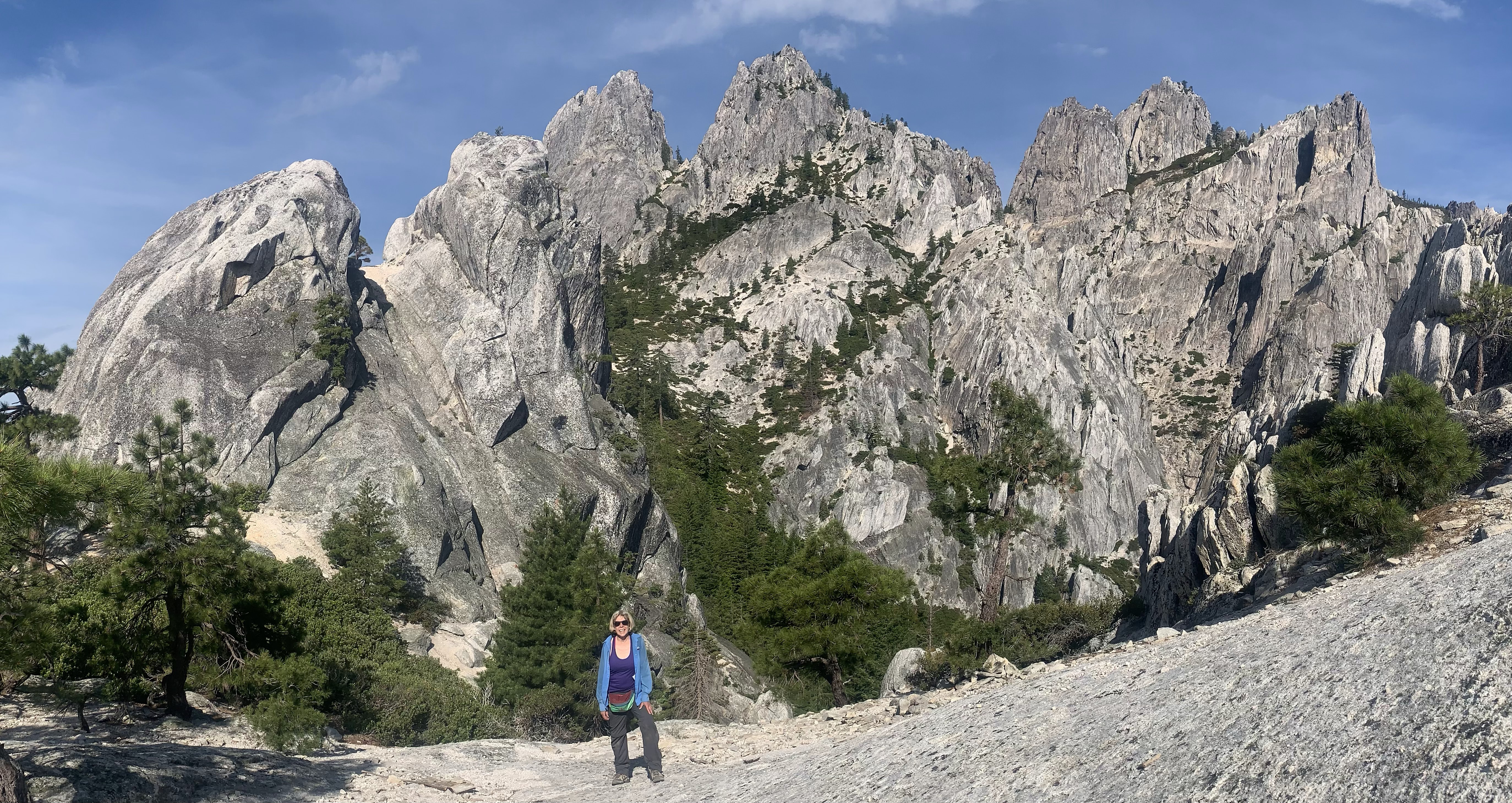 we hiked a little bit further up, and had a break with this fantastic view of Mount Hubris. We also watched some very large birds enjoying the thermal drafts (either vultures or condors).
 We then started down the trail, and found a short spur leading to this fabulous view of Castle Dome and Mt Shasta.
 Mt Shasta
 Castle Dome
 We were very very happy hikers this morning!
 We enjoyed all the views on our way back down the trail through the crags.


a few of the many lizards we saw along the trail this morning:


 some butterflies
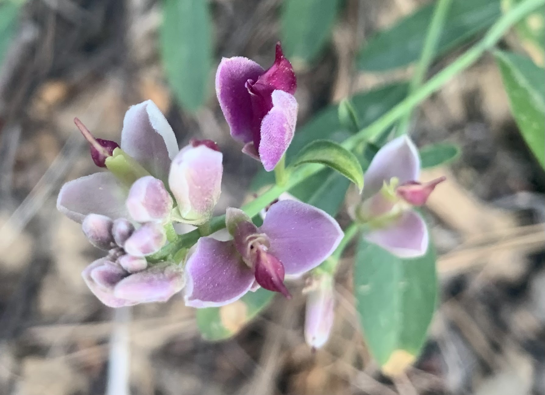
some of the wildflowers we saw along the trail this morning:


No comments:
Post a Comment