
 We drove up to the Fryingpan Creek Trail head in Mt Rainier National Park to hike a portion of the Wonderland Trail through Summerland to Panhandle Gap. We then took a boot track to Banshee Peak going only part way up to enjoy a marvelous view. We saw several groups on the trail who were doing the entire Wonderland Trail, they were all enjoying their experience. We only saw a few day hikers. We would not see anyone on Banshee Peak. The wildflowers are on their way out, but we did see some nice blooms. Overall 14 mile round trip with 3,550 ft of gain.
 It is 4.2 miles to Summerland, most of this trail is in the forest. There are several stream crossings along the way and a variety of berries.
 View of Fryingpan Creek from one of the switchbacks.
 This spring Fryingpan Creek overflowed the area to the south the bridge, so we carefully stepped on stones on our way to the bridge (which goes over a very steep, deep and fast flowing creek).
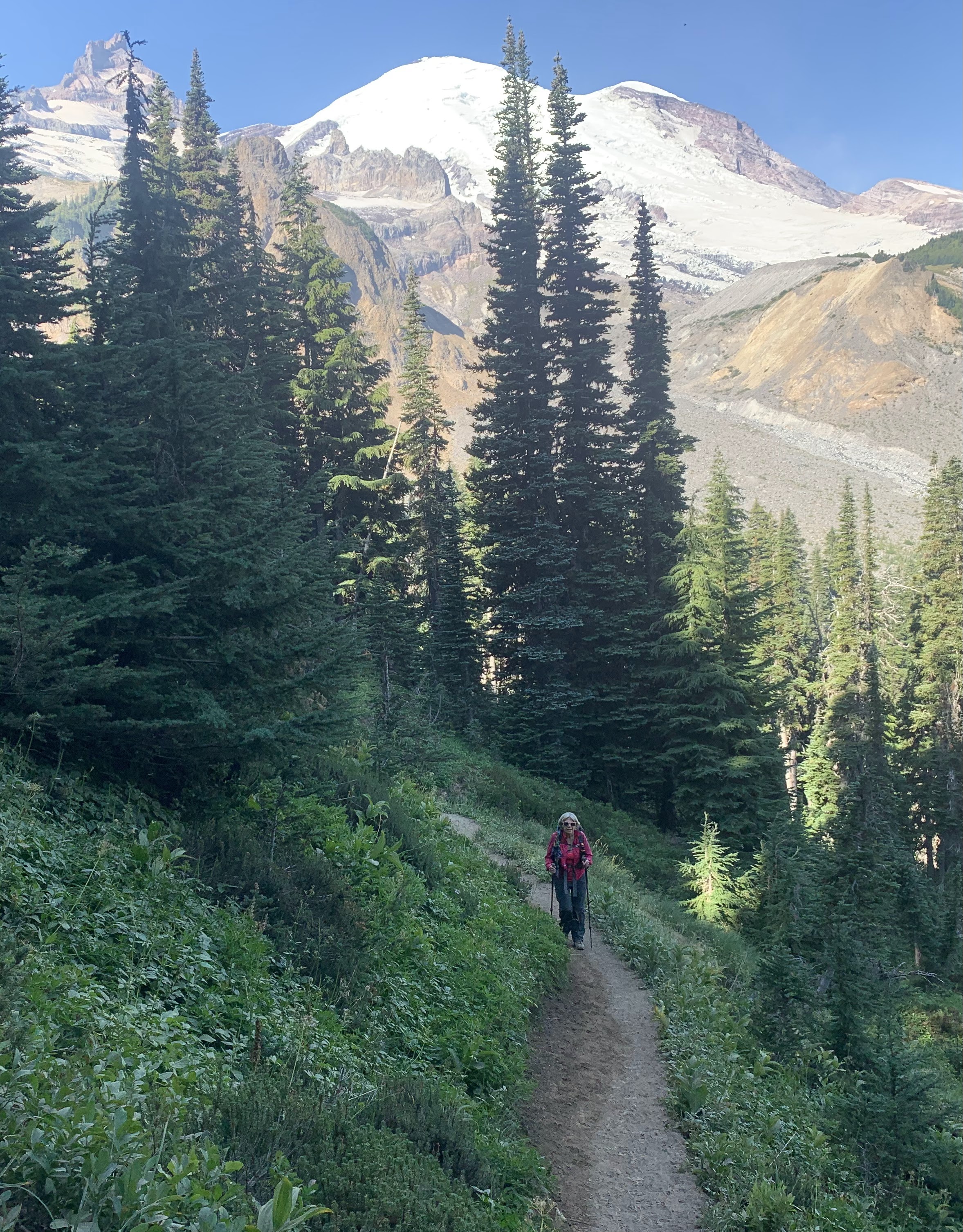 The trail returns to the forest and goes up a set of switchbacks to Summerland, there were some views of Mt Rainier along the switchbacks.

 View of Mt Rainier from the beginning of Summerland.
 View of Mt Rainier from the far side of Summerland.
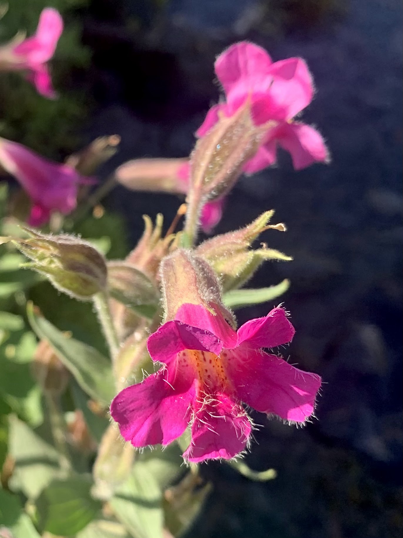
 Wildflowers were blooming off and on along the trail. View of Fryingpan Creek tumbling down the cliff.
 In this area above Summerland, the bridge over Fryingpan Creek has been washed off to the side. The water was running fast, so instead of trying to cross on top of the rocks, we donned our water shoes and waded across.
 Beautiful tarn by the trail on our way up to Panhandle Gap.
 View of a large melting snow field below Panhandle Gap.
 There was some lovely green and wildflowers blooming in this high rocky alpine area.

 View on the other side of Panhandle Gap. It was hazy to the south. From here we left the Wonderland Trail and followed a boot path around the rocky, wooded hill on the left side of the gap (not pictured), working our way towards Banshee Peak.
 Banshee Peak to the east. We would hike part way up for our lunch break.
 Looking down on some tarns on the north side of Banshee Peak. In the distance is Sunrise Point and the road to Sunrise.
 Looking back towards Panhandle Gap between the wooded hill and the gray ridge. Mt Rainier in the back and a marmot standing up at the far edge of the meadow.
 To the south we saw a herd of mountain goats on the side of Banshee Peak.


 Another view looking down from the north side of Banshee Peak.
 We got above 7,100 ft, (well short of the 7,600 ft summit) and loved our view of Mt Rainier. Decided this was a good turn around point for us today.
 Only us and the mountain goats enjoying Banshee Peak today. This is now one of my favorite views of Mt Rainier. Little Tahoma in front on the left side of the glaciated peak of Rainier.
 Cinquefoil and barbells were the prominent wildflowers on Banshee Point today. Hazy Mt Adams in the far distance.
 zoom to the south with the Goat Rocks to the left and Mt Adams to the right.
 On our way back to Panhandle Gap, we found ourselves on a slightly steeper boot track, going around the rocky, wooded hill.
 Fryingpan Creek was running higher and faster as we made our way back down the trail. Again we choose to wade across wearing our water shoes rather than trying to balance on partially submerged rocks.
 One of the many butterflies enjoying what might be the last of the wildflowers.


No comments:
Post a Comment