We took the tram up Mount San Jacinto State Park to hike up to the peak (10,834 ft). We took the route via Wellman's Divide, this is an 11 mile round trip hike with 2,500 ft overall elevation gain.
From the tram, we hiked down to the Ranger Station to fill out our wilderness permit (8,400 ft).
There are many trails here. The trail junctions are well marked.
Most of the trail is in this lovely high elevation pine forest. We walked past many large boulders.
We reached Wellman's Divide after 3.3 miles and 1,320 ft of elevation gain. We took a lunch break here. View from Welllman's Divide.
Shortly after leaving Wellman's Divide, the trail opens up along the side of Mount San Jacinto. Great views here, the Salton Sea is in the far distance.
A nice hike up the trail. There were a few snow patches along side of the trail.
We had a lovely day for this hike, the temperature was in the high 40's/low 50's compared to the 90's in Palm Springs.
Jean peak still had many patches of snow along it's flank.
Very welcome sign: 0.3 miles to the peak with 280 ft of gain to go!

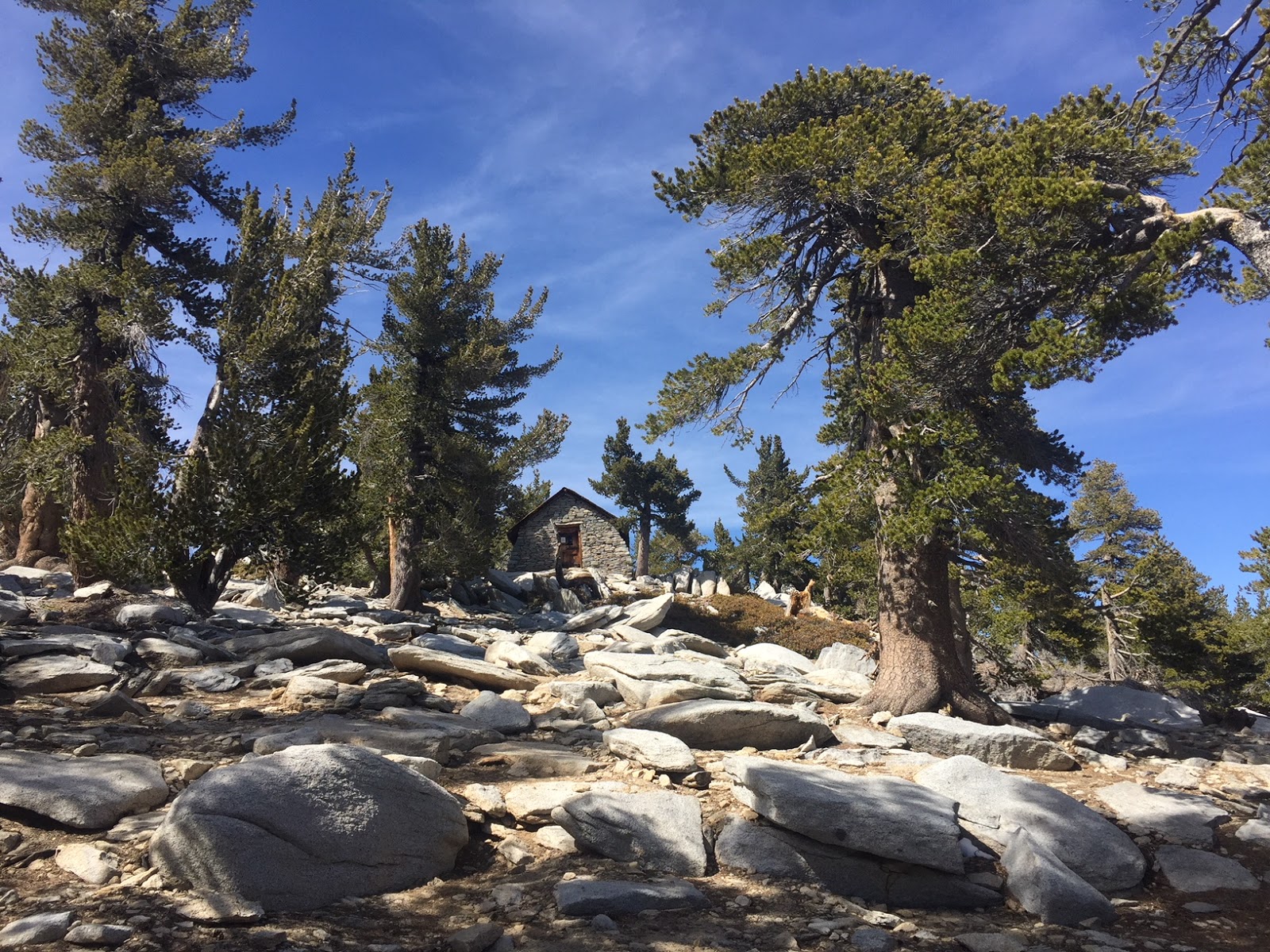
Emergency Shelter near the peak.
From the emergency shelter, it's a bit of a scramble up to the peak.

At the peak!
We found all 3 geo markers at the summit.
Pano from the summit looking east to south:
Pano from the summit looking west to north:


 Emergency Shelter near the peak.
 At the peak!


No comments:
Post a Comment