
 We drove to the Tyler Peak Trailhead at the end of FR 270 in the north Olympics to hike up to Baldy, we then came back down to the ridge and took the connector trail over to the Tyler Peak Way Trail back down to the trailhead. Overall 7.25 miles with 3.800 ft of gain. We had lovely views on a cloudy day, saw lots of wildflowers and only 4 other hikers, so peaceful today!
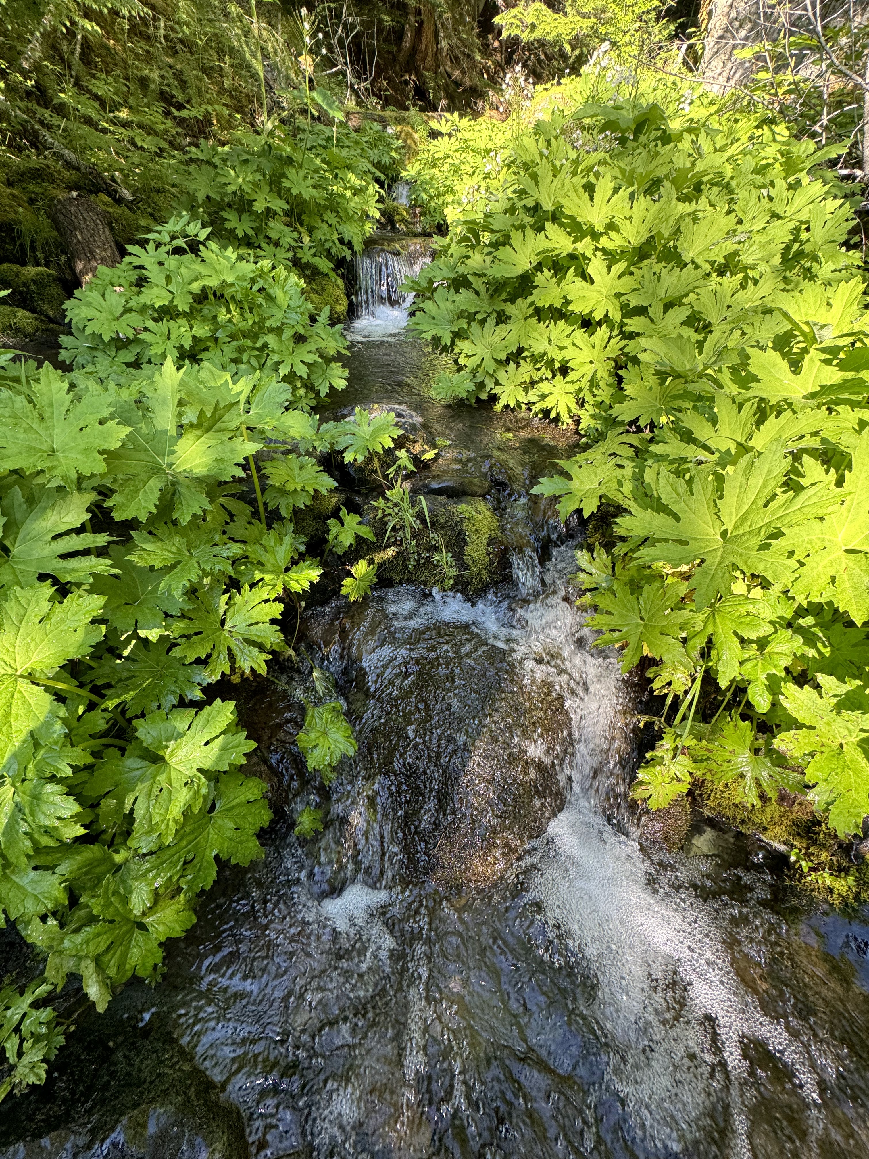 Instead of heading up the Tyler Peak Way Trail, we took the unmarked Lower Maynard Burn Trail for about 0.5 miles, then went left at the fork on the Baldy Trail after crossing Mueller Creek.
 a snake on the forest floor
 The next 1.5 miles is steep up through the forest, there were a couple of views seen through the trees.
 The trail then goes through a steep meadow, with views to the northeast of Tyler Peak.
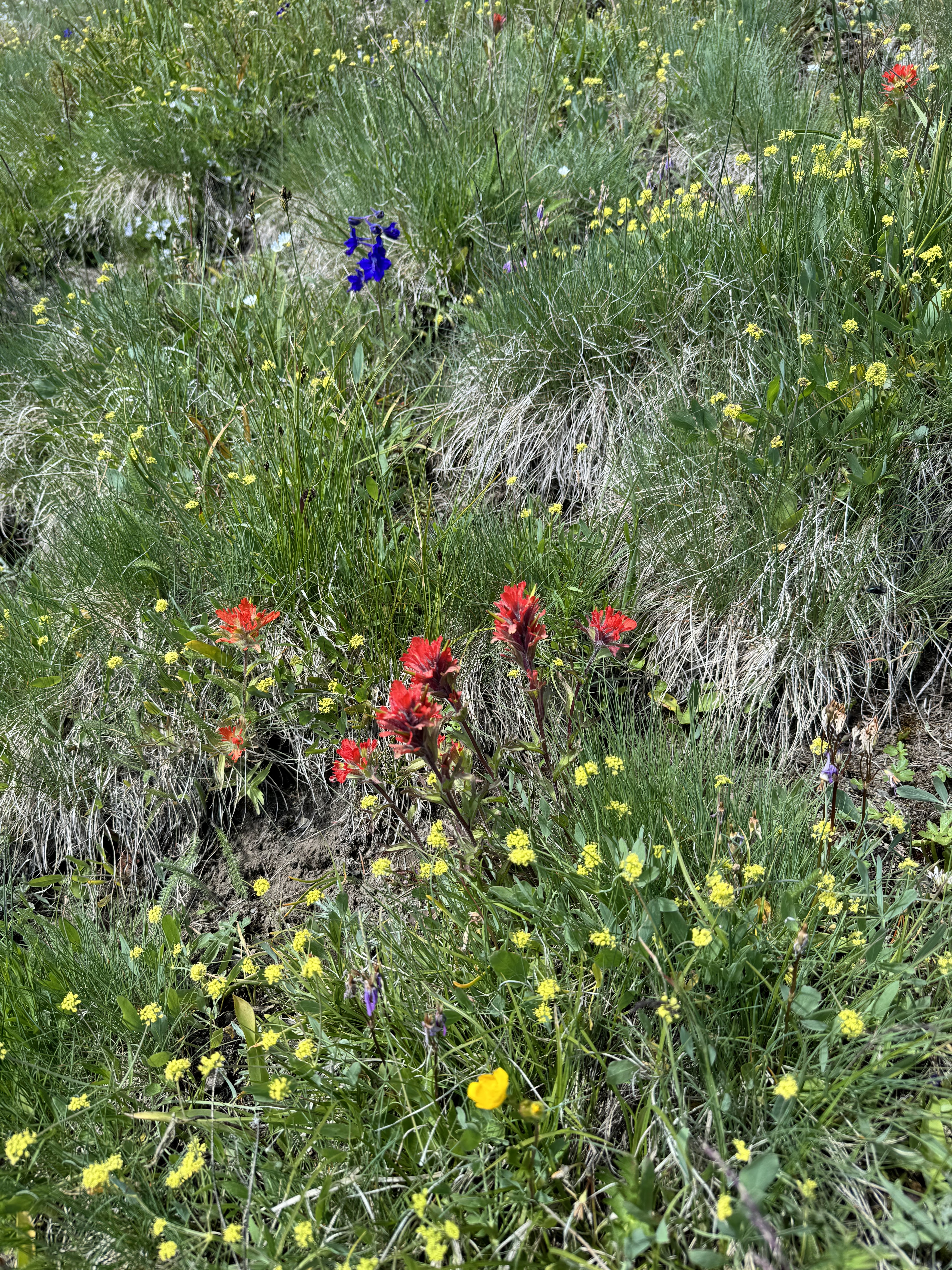 Lots of lovely wildflowers in the meadow.
 Olympic Peaks to the southeast
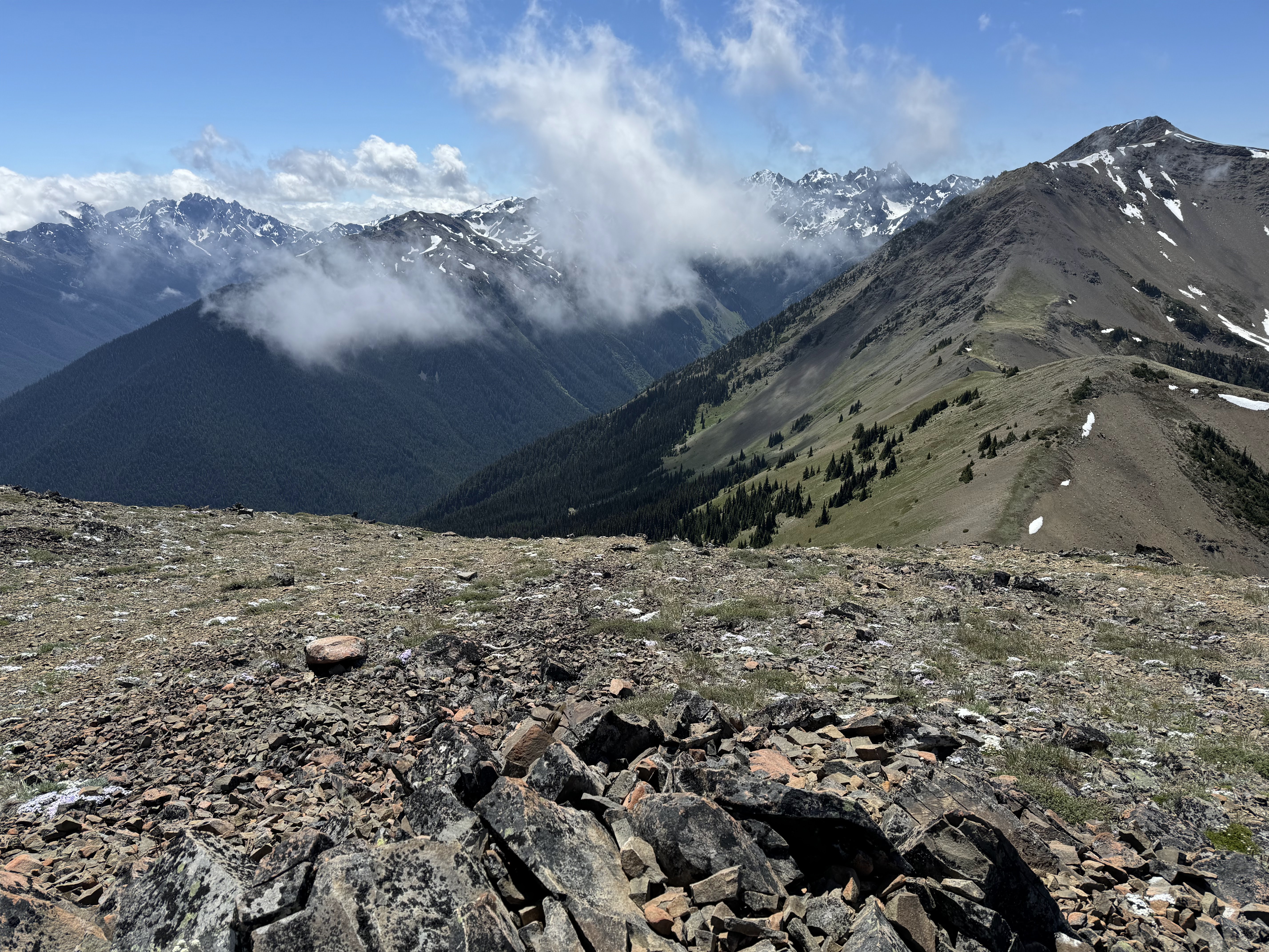
 Clouds came in as we reached a Ridgeline, looking towards Baldy
 phlox in the meadow
 Steep trail heading up to the false or East Peak of Baldi.
 We took our lunch break on the east Peak before dropping down and the up to Baldy to the west.
 We had clouds come and go for our hike up Baldy.
 Baldy
Baldy Olympic Peaks to the south
lots of phlox


View from the top of Baldy lookin south to west, Greywolf Mountain on the left:

 peaks to the southeast, Greywolf mountain on the right
 some zoomed in photos

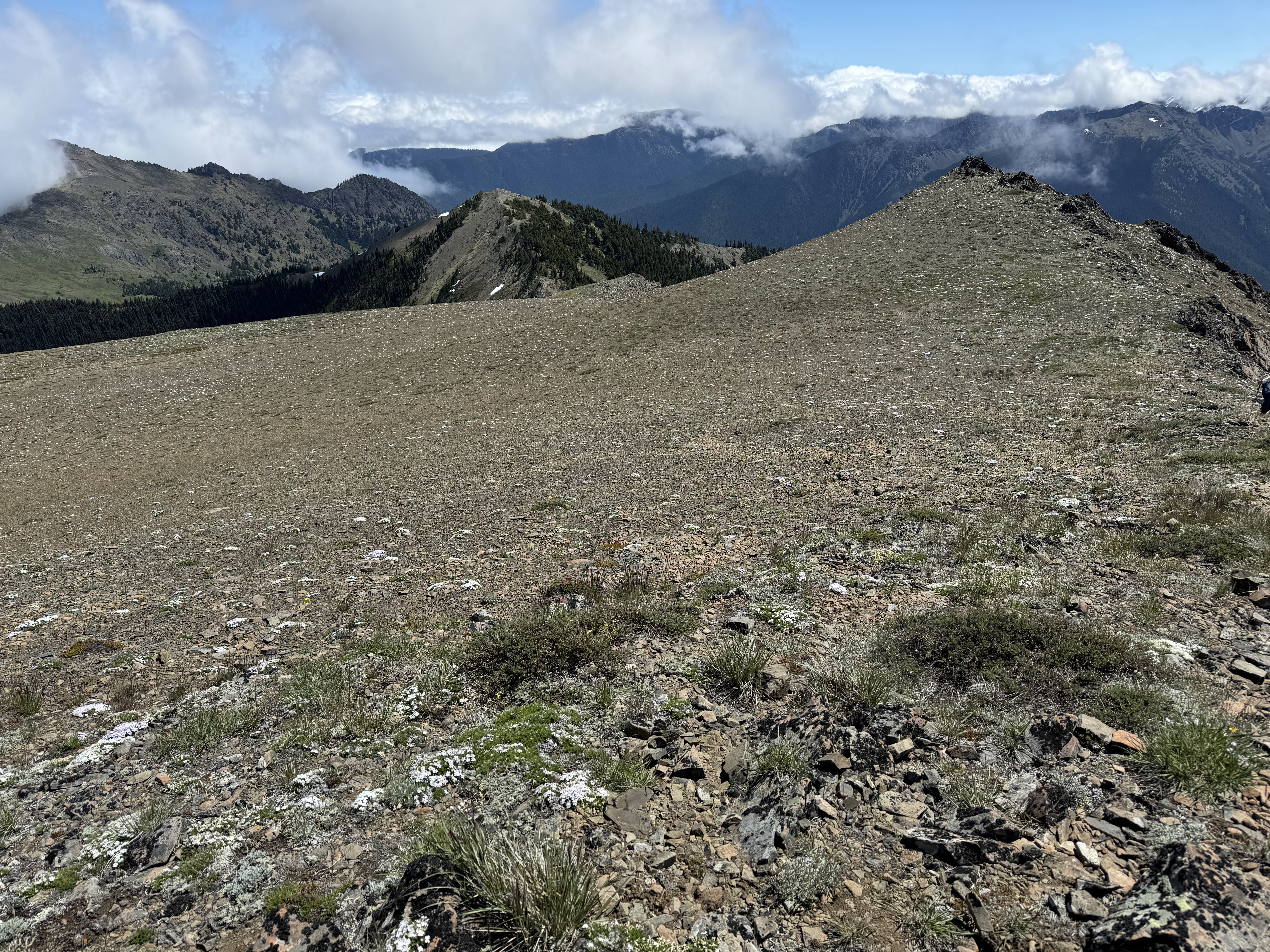
 Heading down Baldy, back to the East Peak
Very cloudy to the north, 


 Back on the ridge below the East Peak, we continued on the ridge along the Baldy Tyler Connector Trail for 0.8 miles.
 While the clouds obscured our view, we enjoyed the wildflowers in the meadows.
 We continued on the connector trail to Peak B, then instead of going over to Tyler Peak, we headed down the Tyler Peak Way Trail back to the trailhead.
 Tyler Peak hidden behind the clouds.
 Looking back at the Ridgeline we traversed on the connector trail.
 Peak B above us as we descend into the wildflower filled meadows.
View back to Baldy, East Peak on the left.

 The Tyler Peak Way Trail seemed less steep to me than the Baldy Trail, plus we had more time in the open meadows here.


 Then it was back in the forest, steeply descending with lots of short steep switchbacks, with a couple of views between the trees.
some of the wildflowers we saw along the trail today:


No comments:
Post a Comment