

 We drove out on the North Fork Teanaway Road to the Beverly Turnpike Trailhead to hike up to Earl Peak today, 6.75 miles round trip with 3,400 ft of gain. We didn't see very many people on the trail today. Along the road we saw lots of while false hellebore growing. This was my first time seeing this wildflower.
There was a sign on the bridge crossing Beverly Creek at the beginning of the trail saying "one person at a time". The bridge was a bit tilted, but felt stable.
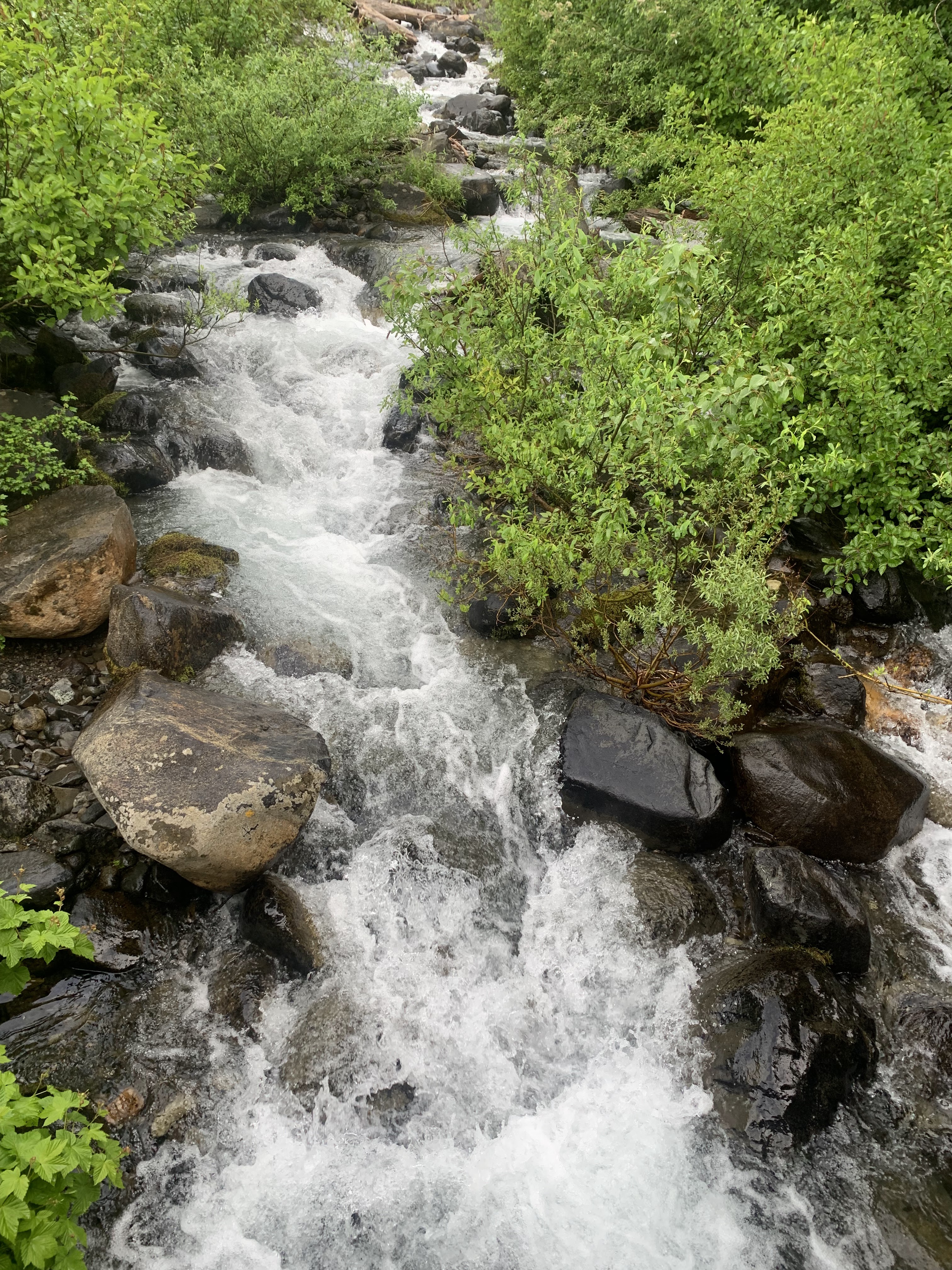
Beverly Creek from the bridge
 Less than 1/2 mile up the trail, it crosses Bean Creak. I crossed on the rocks, my friend crossed on the downed logs.
 There are a nice assortment of wildflowers in bloom along the trail, including penstemon
  and lupine.
 Waterfall along Bean Creek further up the trail
 The trail crosses Bean Creek about 1.5 miles after first crossing the creek below. This area had many shooting stars in bloom. So lovely!


 Shortly after that creek crossing, the trail splits, Bean Basin to the left and the Bean Creek Trail to the right (and to Earl Peak).
 This trail is one mile of switchbacks heading up to the saddle. We had some nice views looking towards Bean Peak here.
 From the saddle to the left, we found the 0.8 mile spur trail up to Earl Peak. We started in the clouds, but would have some nice views as the clouds continued to move through this area.
 The phlox on the rocks were lovely.
As we gained elevation, we would get some views of Mount Stuart.

 Continuing up to the peak,
 and getting better views.
 Love the pink trunks on these pine trees.
 Hoping we will still have views at the top of Earl Peak.
Pano to the north on Earl Peak, fabulous!

 zoom of Mount Stuart
 view to the north east towards Navaho Peak
 to the east
 view to the northwest and Bean Basin
 View as we descended down Earl Peak to the saddle.
 some butterflies along the trail
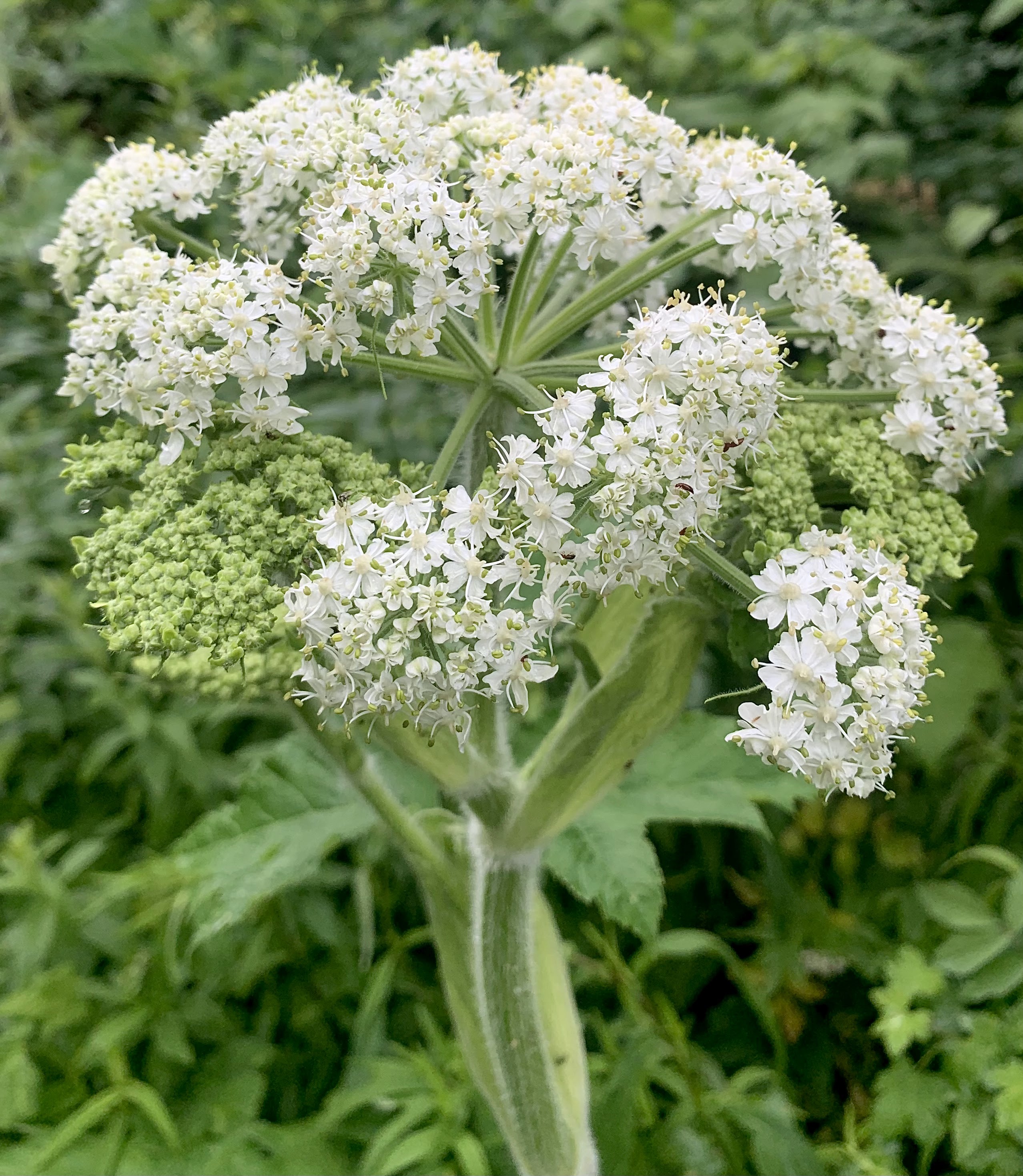
some of the wildflowers we saw along the trail today:


No comments:
Post a Comment