

We drove out to the Tubal Cain Trailhead to hike up to a bit above Buckhorn Pass, about 15 miles round trip with 2,900 ft gain. The wildflowers were outstanding. Although the day was cloudy, we did get some peekaboo views of nearby peaks. We only saw 12 other hikers/backpackers all day. View of the start of the Tubal Cain Trail from the parking area this morning.
 The trail soon crosses Silver Creek on this log bridge.
 view of Silver Creek from the bridge
 For several miles, the Tubal Cain Trail is in a lovely forest, the first 2.5 miles of trail had lots of rhododendrons in bloom.
a couple of the creeks crossing the trail today


 3 miles from the trailhead, the Tull Canyon Trail splits off to the left up to the mines and plane wreck site. We stayed on the Tubal Cain Trail for another 0.4 miles before it crosses Copper Creek. View of Copper Creek along the trail.
log bridges over Copper Creek
 After crossing Copper Creek, the Tubal Cain Trail continues for another 5 miles to Marmot Pass. We did not plan on going that far today, we turn around about 1/2 beyond Buckhorn Pass. From the creek crossing the trail goes through the forest , up a couple of switchbacks and then traverses through an alpine meadow filled with wildflowers.
 butterfly on arnica
 The trail goes through a few forested areas, but is mostly in the open until the turn off to Buckhorn Lake.
 We had occasional views of Iron Mountain and Buckhorn Mountain as the clouds moved by.
 Both the meadows above the trail,
 and below the trail were dense with wildflowers.
 I believe this was my first time seeing pink Larkspur in the wild!
 For a short time, the clouds cleared and we were able to see the rocky ridge above us to the west,
 And the peaks to the east (Buckhorn Mountain).
 wide angle view of Iron Mountain and Buckhorn Mountain
 After the passing the side trail to Buckhorn Lake, the trail climbs up through the forest with some open meadows and views of Buckhorn Mountain.
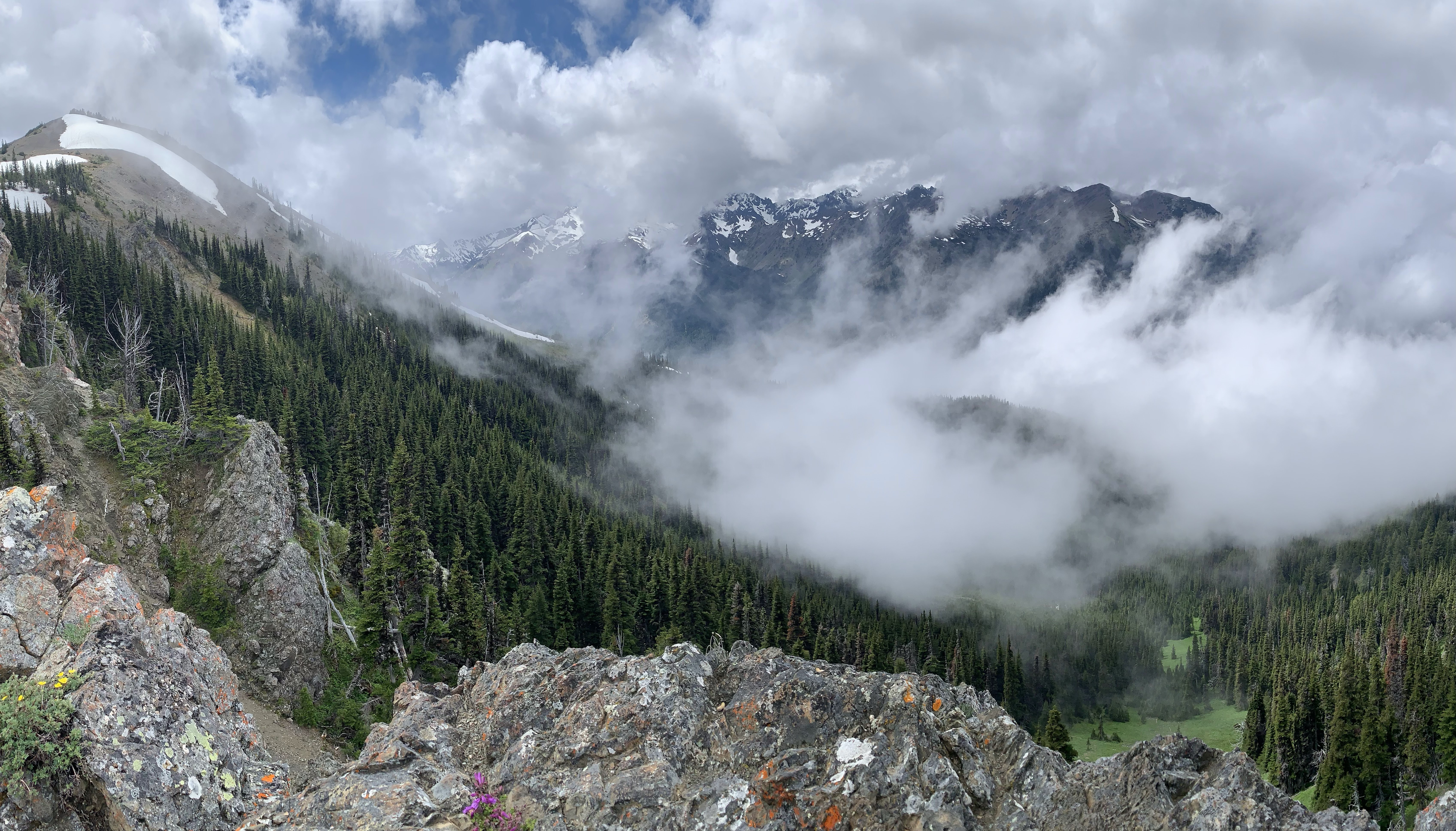 We had a fleeting view of Mount Deception to the southwest when we first reached Buckhorn Pass.
Buckhorn Pass is at about 5,800 ft

 Brief view to the northwest from Buckhorn Pass
 We decided to continue along the trail heading up towards a ridge for our lunch break and hoping that the clouds would move and give us another view. There were several snow fields covering the trail from here on up.
 We continued up the ridge to 6,120 ft before stopping for lunch. The clouds were thick and did not give us another view for the rest of our time on the trail. View of the slope covering the trail below our lunch spot.
 Although our hike back was foggy, the colors of the flowers were very bright! What a wonderful wildflower day!!!
 an odd bug we saw on the trail
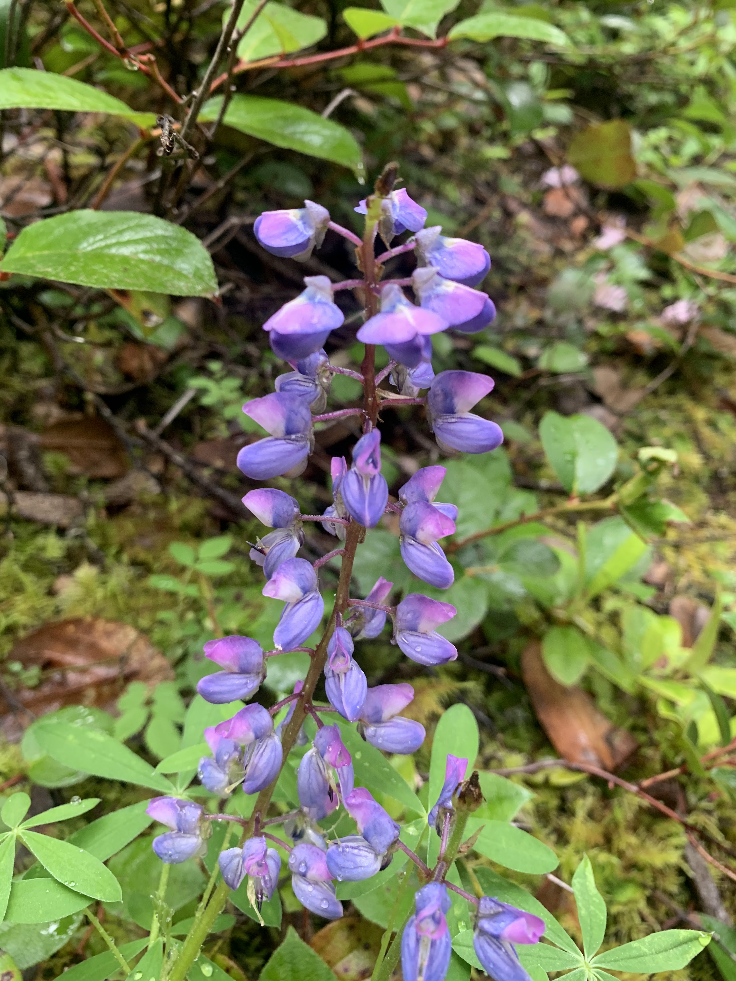
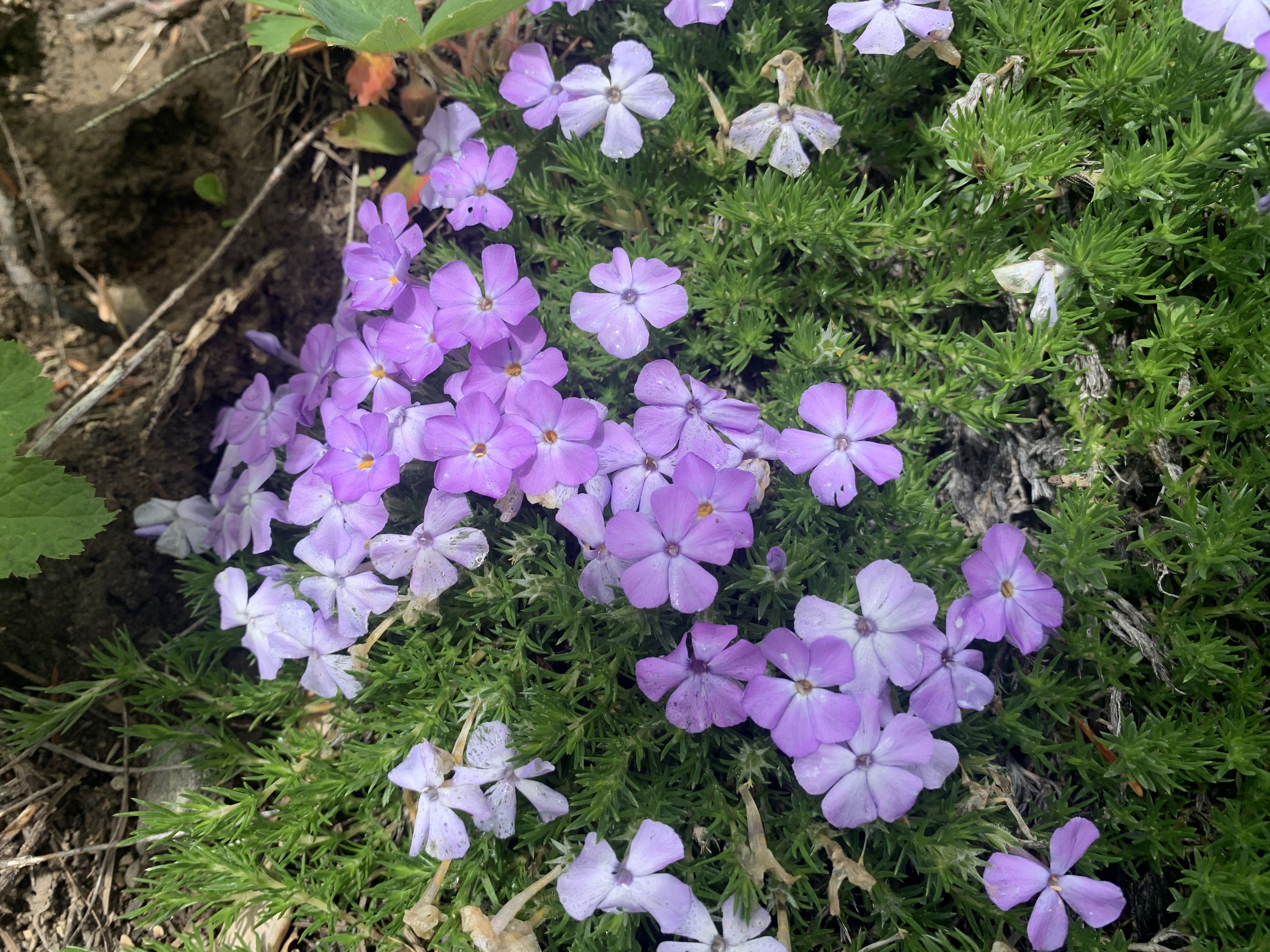
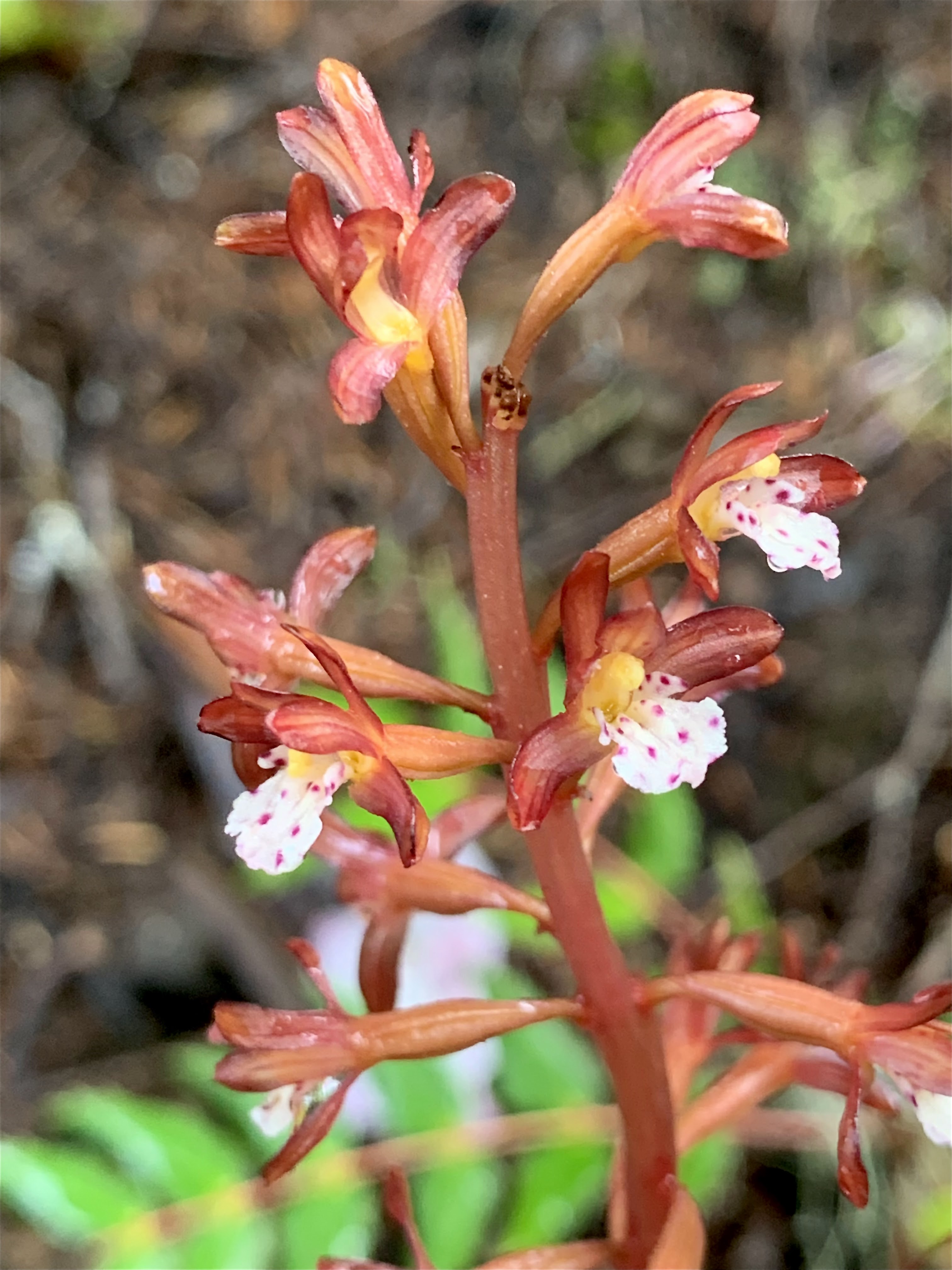
some of the many wildflowers we saw along the trail today with some lichen and fungi:


No comments:
Post a Comment