 We drove up to the Green Springs area in the Cascade Siskiyou National Monument this afternoon and hiked to the top of Soda Mountain from the Hobart Bluff Trailhead. This was a 4.3 round trip hike with 880' of gain.
The trail starts out going south on the PCT. Here we could see Mt McLoughlin in the far distance to the north.
The trail soon enters the Soda Mountain Wilderness.
For a short way, the trail goes through an open meadow with lovely wildflowers among the rocks.
We could see Pilot Rock in the distance to the south.
Lots of trillium in bloom.
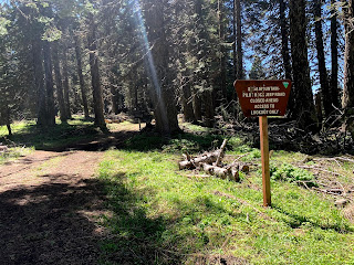
 About 1.1 miles down the PCT, we took a short connector trail that led up to a service road, which led all the way to the top of Soda Mountain.
 Lookout on Soda Mountain
View from the lookout on Soda Mountain, to the far south is Mt Shasta.
zoom of Mt Shasta to the south
zoom of Pilot Rock to the southwest
 zoom of Mt Ashland to the west
zoom of Mt McLoughlin to the Northeast
some of the wildflowers we saw along the trail today:


No comments:
Post a Comment