


The parking area is on the east side of Hwy 123, the trail on the west side. A short 0.4 miles takes you about 300 ft down to the East Side Trail.

Approximately 0.2 miles down this connector trail, you can see Deer Creek Falls (62 ft drop)

 Chinook Creek on nice wooded bridges.
The Owyhigh Lakes Trail then splits off to the left, while the East Side Trails continues to the right.
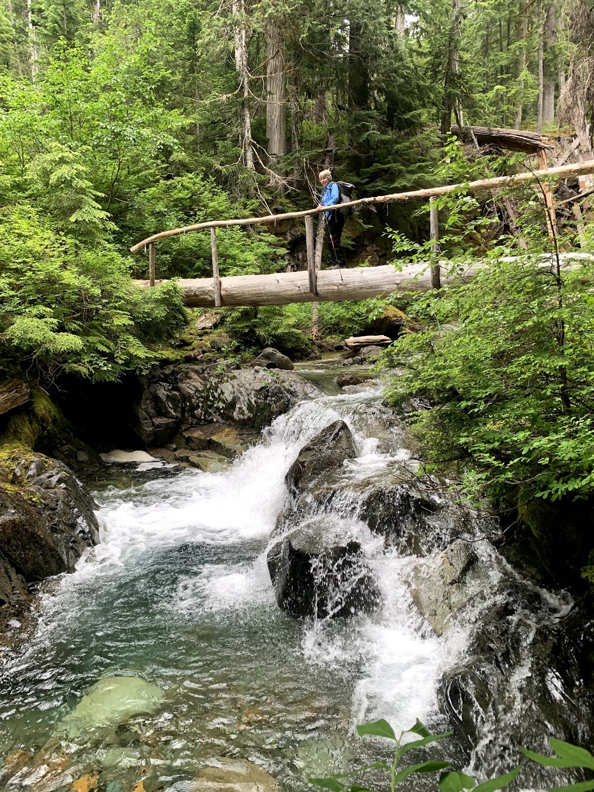
Before long, the trail crosses Boundary Creek on a log bridge.
 The trail continues to gain elevation wandering through the forest. About 1/2 mile up from Boundary Creek, we could hear the rush of a waterfall, but could barely see it through the thick forest. Further upstream, we could see the very top of this waterfall.
The trail continues going up in a series of switchbacks, alternating with more gentle inclines. There are many short wood crossings and small creeks, filled with water this time of year as there is lots of snow melt.


 Further up, along Kolsuck Creek, we could hear another waterfall, and by following a short boot path, we had a partial look at these falls.

Another meadow had many glacier lilies.
Some of the meadows at 5,000 ft and above had very few blossoms, but we could see that there were many plants that would fill the meadows with color in a few weeks.

 We continued along the trail, finding a good boulder to sit on a short ways off trail to eat our lunch and watch the clouds move among the peaks.


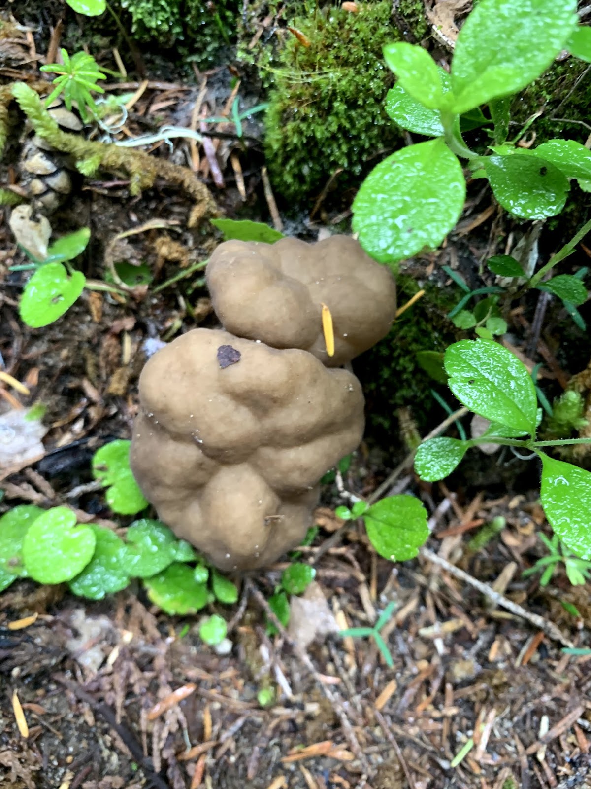
Some of the many wildflowers we saw in bloom along the trail along with some other flora:


No comments:
Post a Comment