We headed out to the Quinault River to hike up to the Enchanted Valley along the East Fork of Quinault River Trail. We would set up camp at O'Neil Creek for two nights and do a long day hike in-between up and into Enchanted Valley. We did about 33 miles of hiking with 2,000 ft of elevation gain.
 After crossing a bridge over Graves Creek, the Trail splits in two. We took the left trail along the Quinault River.
This trail follows the beautiful Quinault River for the majority of the hike through lush forests. The trail meanders up and down quite a few times until past Pyrites Creek at 9.5 miles.
The trail also goes through meadows lined with woodland wildflowers.
 |
There is a new trail that goes up a hill away from the river. The trail crew states that this is "easier than along the river".
We crossed many different bridges on this trail, this one is at Fire Creek (I think).
There are many different nurse logs to be seen. I loved the exposed roots on this old tree.
 We found some ripe berries where the trail splits off to O'Neil Creek Camp, about 1/4 mile down to
 the Quinault River.

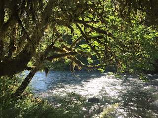
View of the Quinault River by our campsite.
The next morning, we returned to the East Fork Quinault River Trail and headed east through the forest.
The bridge at Pyrite Creek is broken, but there are several downed logs a little ways downstream that are easy to cross.
After Pyrites Creek, there are several downed trees to cross over, here are two of them.

We found a gorgeous spot along the Quinault River to take a short break.
This long narrow bridge crosses the Quinault River and the trail enters Enchanted Valley.
Our first view of Enchanted Valley
The old chalet at Enchanted Valley
Waterfalls across from the chalet
We decided to continue to hike up into the valley where there were more waterfalls coming down the mountain sides.
There were several streams to cross.
View further up Enchanted Valley:
 More waterfalls along Enchanted Valley:
As we continued hiking eastward, we could see the cloud covered peaks by Mt Anderson.
The logs over this creek were very unstable, the moved as we crossed over them.
A good sized section of the trail has eroded away, we were able to scramble up and over this area.


Shortly after we deduced to turn around and head back to camp, we saw this sign on the ground for the Largest Record Western Hemlock.

We took the short side trail down towards the river and think it might be this tree. To tall to get it all in my photo.
Some of the wildflowers and other flora we saw along the trail on this backpack trip:


No comments:
Post a Comment