

Pano view at the Coyote Wall trailhead:


The first 0.6 miles follows old Hwy 8, there were wildflowers and
 water flowing over the rocks.
We took the Little Maui trail up the hill. This is a beautiful section of the trail, with running water, wildflowers and views of the Columbia River.
Columbia Desert Parsley
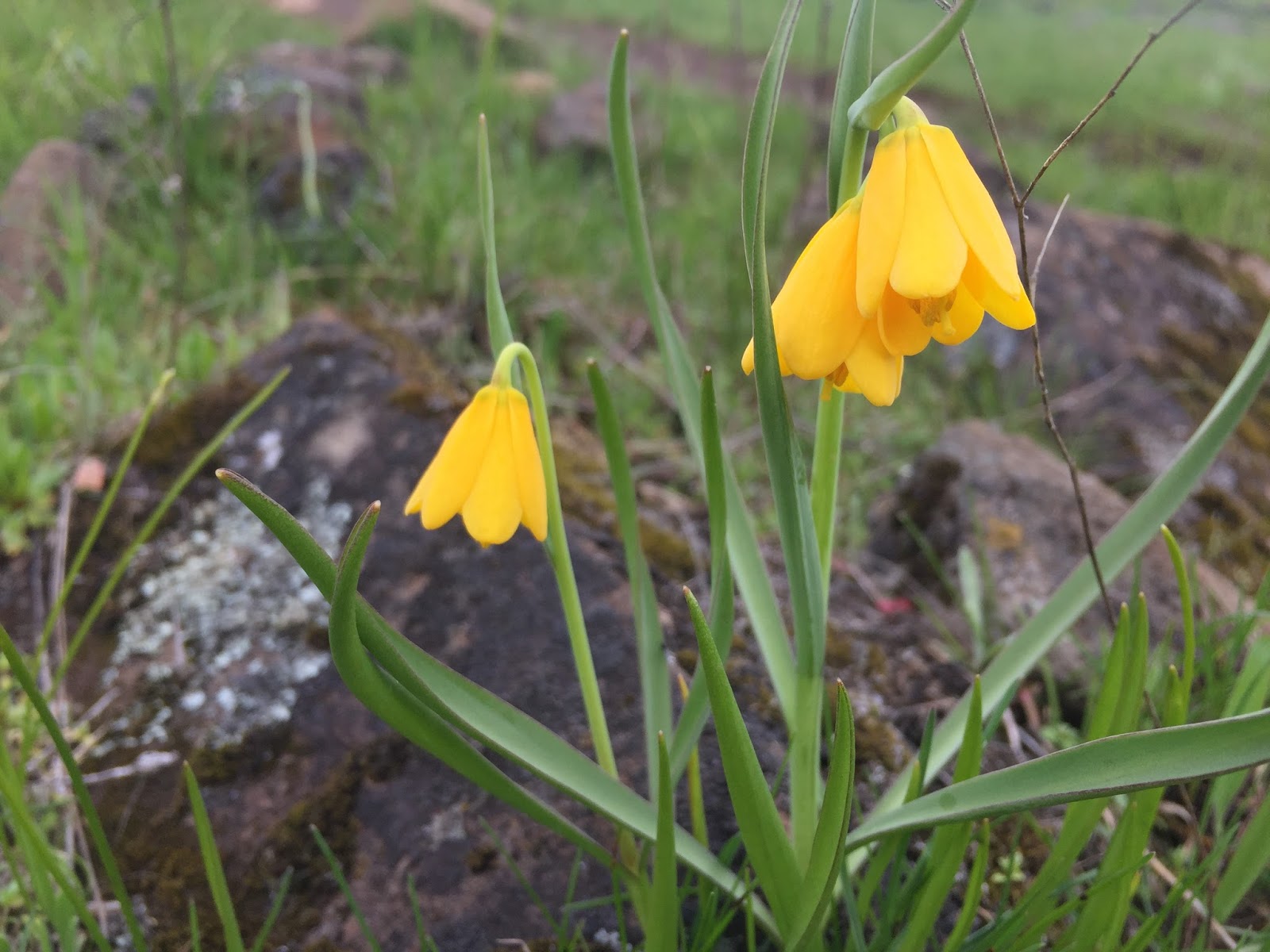
Yellow Fritillary
 Grass Widows
Wide angle short of the stream with a couple of small waterfalls coursing down the hill.

We walked past beautiful old oak trees


The trail joins an old road, which we took up to the trail heading up the plateau over Coyote Wall.

There are some side trails that lead to the edge of Coyote Wall.

We saw several vultures flying overhead.
Pano looking back down at the Columbia River:


There are a couple of trails that head up along Coyote Wall, we chose the ones closer to the edge until we reached the Coyote Wall Upper Viewpoint.
We then hiked along the 1/2 mile Crybaby Trail which runs along the edge of the cliffs among stunted oak trees.

We had great views of the Columbia River and
 had glimpses of Mt Hood through the clouds across the river.
This trail then joins with the Atwood Road, which we took back down to Coyote Wall Upper Viewpoint.


No comments:
Post a Comment