Drove down to the Columbia River Gorge on the Oregon side today to hike along Eagle Creek. We hiked around 13 miles round trip (including side trips to see some of the falls) with 1,100+ ft in elevation gain. This is a beautiful hike along Eagle Creek. The trailhead is about 0.5 mile off of I-84.
There are so many plants, ferns, trees and moss, keeping this trail a lush green. There were several section of the trail where water dripped off of the rocks.
Along some of the steep rocky sections of the trail, there are cable lines to hold on to.
There is a short spur trail about 1.5 miles up the trail to see Metlaka Falls (100 ft drop).
There are several beautiful streams running down across and under the trail along the way.
About 1.7 miles up the trail is another spur that leads down to the creek with views of Lower Punch Bowl Falls. Further up along the creek, when the water is low, you can walk out into the creek to view Upper Punch Bowl Falls from below. Eagle Creek was running too high for us to walk out in it today.
Wide angle shot from above Lower Punch Bowl Falls.
At 1.9 miles there is an overlook to look down on Upper Punch Bowl Falls.
The bridge above Tish Creek has been severely damaged and is not safe to walk on. The Forest Service has "closed" the trail at this point.
Looking upstream at Tish Creek.
There are some logs going across Tish Creek, that we felt comfortable crossing today.
Fortunately, High Bridge, and the other bridges, are in good shape, further along the trail.
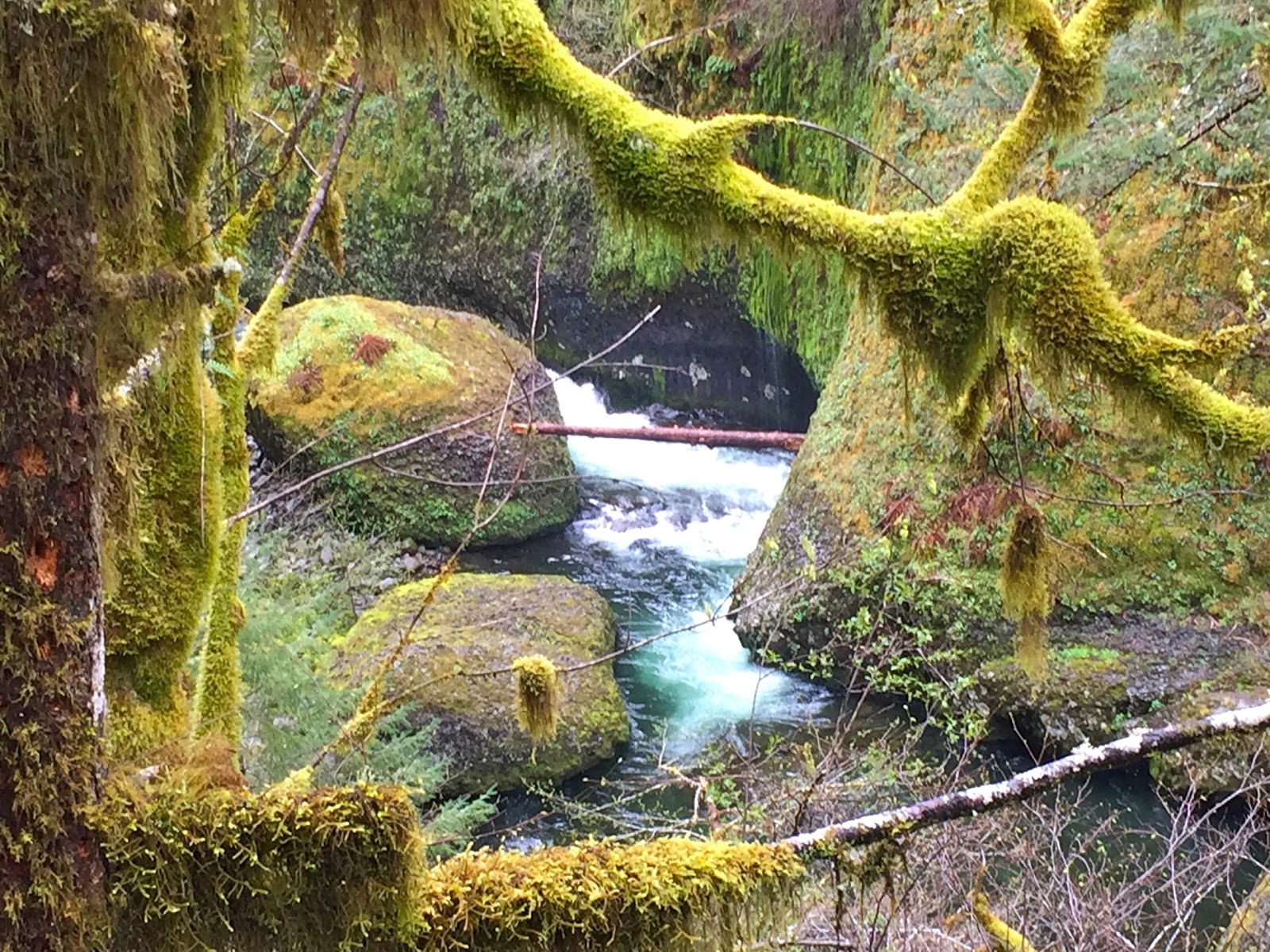
The creek is beautiful as it runs it course, through the rocks and forest.
About 3 miles from the trailhead, Loowit Falls (90 ft) can be seen from the trail.
Here the trail is high above the creek.
Looking back at Loowit Falls from further along the trail.
There are several smaller falls coming down side streams and
cascades in the various creeks.
Here, the trail was lined with glacier lilies (and there were many other wildflowers in bloom today).
more falls along the creek.
There is so much beauty along this trail, I love the moss hanging off the branches.
the trail itself is beautiful.
Another fall along the way.

About 4.5 miles from the trailhead, cross Wy'East Creek, choosing to go over downed logs or wet rocks. Looking to the east, Wy'East Falls can be seen upstream.
6 miles from the trailhead is Tunnel Falls (1,200 ft). On the east side of the creek, it is hard to see through the trees.

There is a tunnel in the rocks, behind the falls that leads
to the trail continuing on the other side of the falls,
(trail that goes between Tunnel Falls and Twister Falls)
From the trail on the west side of the falls, is the best view of Tunnel Falls. A vertical panorama was needed to capture the length of the falls from the trail, before the trail goes around the bend and out of sight of the falls.
The trail continues to wind along the creek on the edge of the rock.
about 1/4 mile further up the trail, you can see Twister Falls
Panorama from the top of Twister Falls:
We went a short ways further up the trail. to a spot where we could sit off of the trail and eat lunch while enjoying the creek rushing by.
more views of the trail as we head back to Tunnel Falls
a beautiful trail
another vertical panorama of Tunnel Falls
Going back through the tunnel and the beginning of the trail.
Some of the many wildflowers, blossoms and other plants we saw along the trail today:


 About 4.5 miles from the trailhead, cross Wy'East Creek, choosing to go over downed logs or wet rocks. Looking to the east, Wy'East Falls can be seen upstream.


No comments:
Post a Comment