
 We drove to the Catherine Creek area of the Columbia River Gorge National Scenic Area to hike some of their many trails today. We did 3 loop hikes for a total of 6.5 miles and 1,500 ft of elevation gain. The trails were not busy today. We saw lots of wildflowers in bloom. First we did the loop below the parking area, closer to the Columbia River, this was about 1 mile with 55 ft of loss/gain. This was the only area today where I saw balsamroot in bloom.
 This trail is paved and easy to follow, with great views of the Columbia River.
 We saw bicolored cluster lilies in bloom,
 along with many camas.
 Overlooking Highway 14 and the Columbia River
  parsley
 There was lots of death camas in bloom also.
 The second loop we did was going up Atwood Road and coming down the trails to the west, this was about 3.5 miles with 1,040 ft of gain. The Atwood Road trail goes up the west side of Catherine Creek.
 View of Catherine Creek from further up the trail
 zoom of the rock arch along the Tracy Hill Trail
  The Atwood Road trail has a hairpin turn near the top and begins to level out with views of the Columbia River below.
 We continued along the Atwood Road Trail until it takes a large turn to the west,
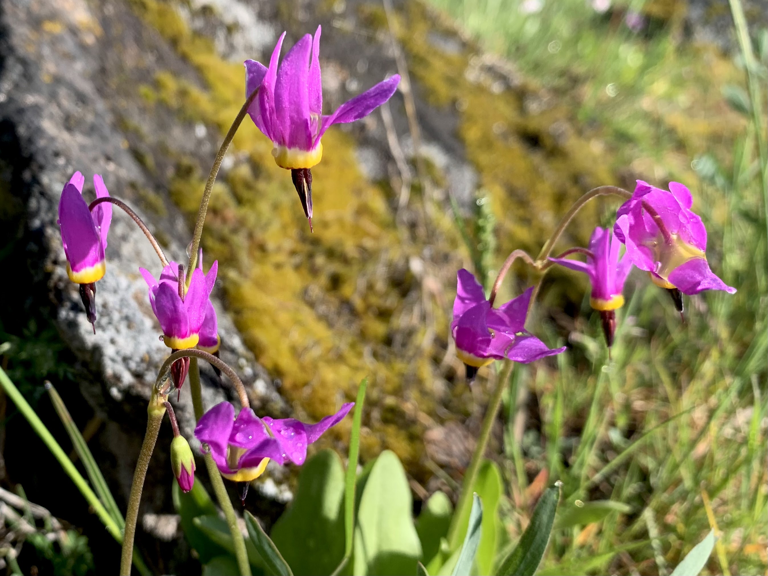
 then we followed another trail back down towards the trailhead. Here there are lots of shooting starts in the meadow.
 Another meadow filled with camas near a pond.
 The third loop was on the east side of Catherine Creek, 2 miles with 400 ft of gain. The bridge over Catherine Creek.
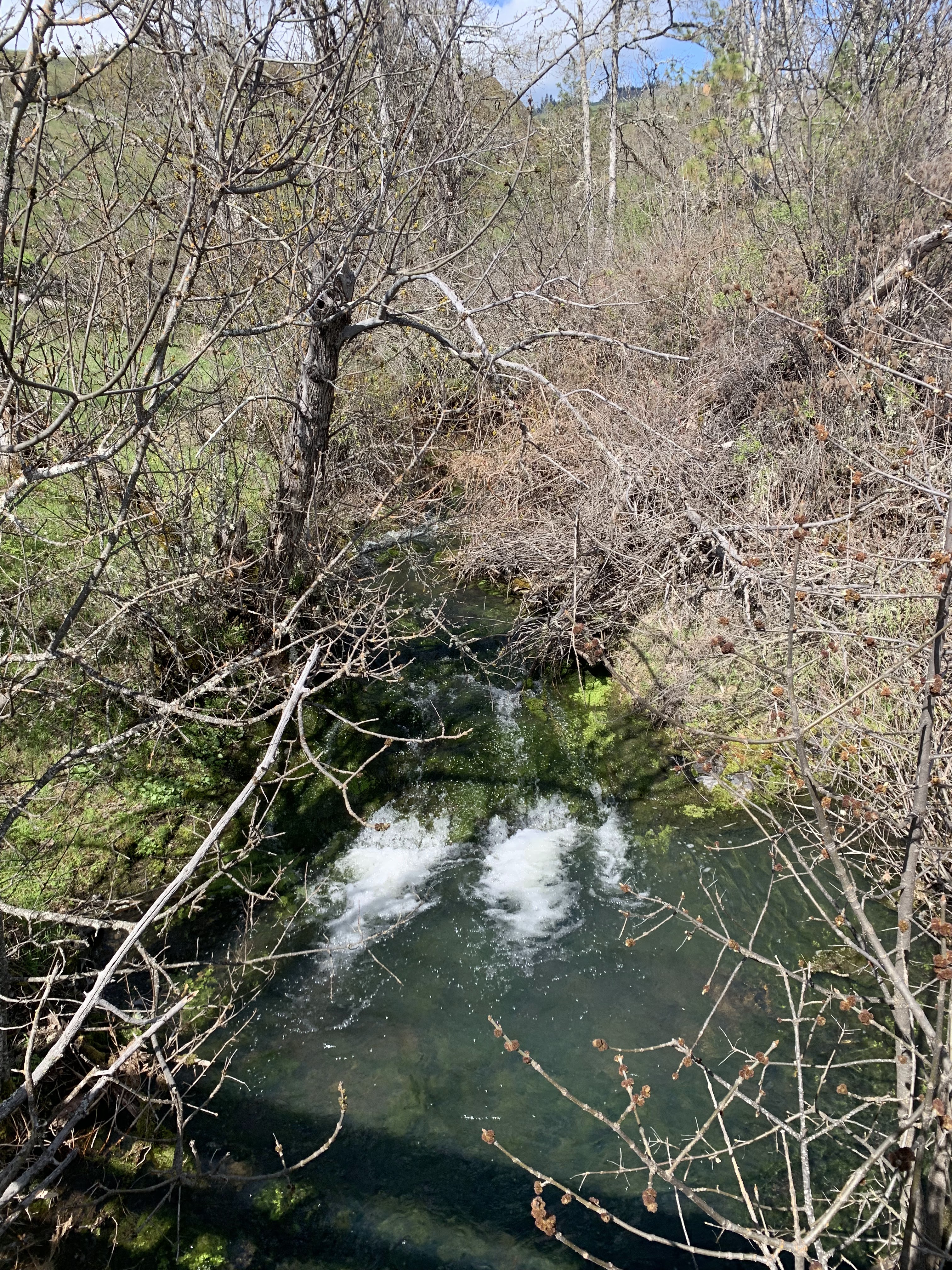 Looking upstream of Catherine Creek from the bridge
 There were lots of wildflowers in bloom along this loop. It was very windy and difficult to get good wildflowers while we were hiking this loop.


some of the wildflower seen along these trails today:


No comments:
Post a Comment